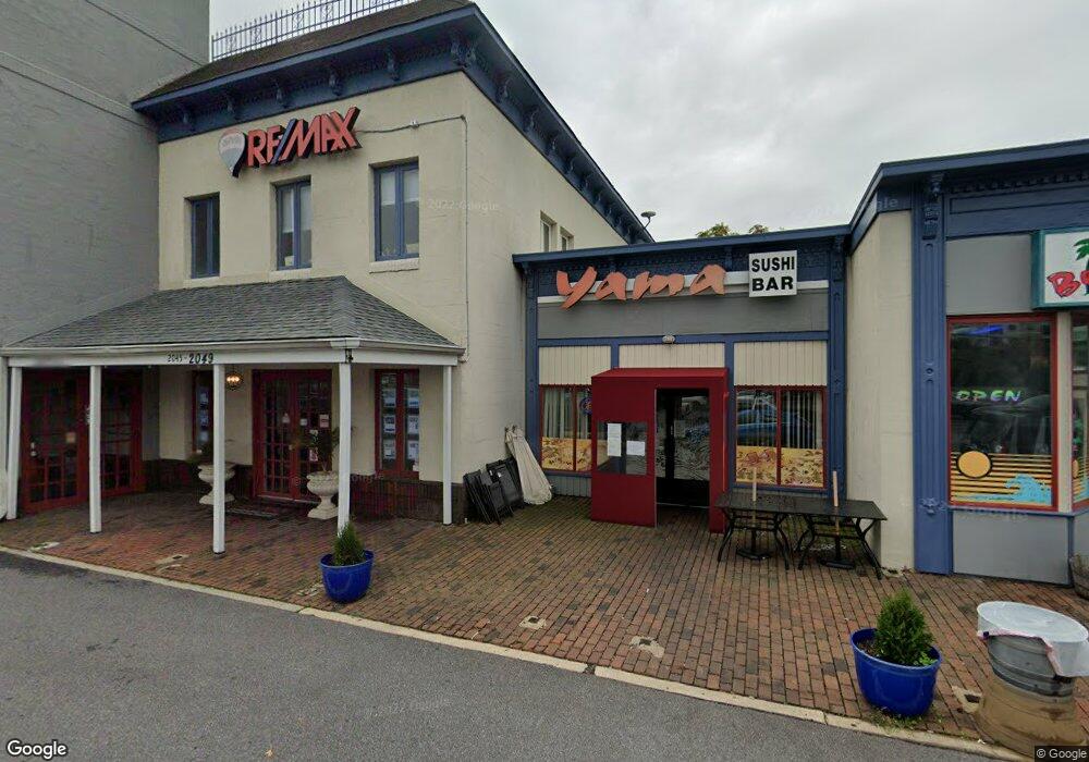
2049 West St Annapolis, MD 21401
Parole Neighborhood
Studio
--
Bath
17,985
Sq Ft
53,143
Sq Ft Lot
About This Home
This home is located at 2049 West St, Annapolis, MD 21401. 2049 West St is a home located in Anne Arundel County with nearby schools including Rolling Knolls Elementary School, Wiley H. Bates Middle School, and Annapolis High School.
Ownership History
Date
Name
Owned For
Owner Type
Purchase Details
Closed on
Jun 20, 2018
Sold by
Katcef James F and Katcef Family Trust
Bought by
Patroit Station Inc
Purchase Details
Closed on
Jan 26, 2013
Sold by
Katcef James F
Bought by
Katcef Family Trust
Purchase Details
Closed on
Jun 13, 2005
Sold by
Katcef Sylvia L
Bought by
Katcef James F and Katcef Deborah F
Purchase Details
Closed on
Feb 10, 2003
Sold by
Katcef Joseph
Bought by
Katcef Sylvia L
Create a Home Valuation Report for This Property
The Home Valuation Report is an in-depth analysis detailing your home's value as well as a comparison with similar homes in the area
Home Values in the Area
Average Home Value in this Area
Purchase History
| Date | Buyer | Sale Price | Title Company |
|---|---|---|---|
| Patroit Station Inc | $3,100,000 | Mid Maryland Title Co Inc | |
| Katcef Family Trust | -- | None Available | |
| Katcef James F | -- | -- | |
| Katcef Sylvia L | -- | -- |
Source: Public Records
Tax History
| Year | Tax Paid | Tax Assessment Tax Assessment Total Assessment is a certain percentage of the fair market value that is determined by local assessors to be the total taxable value of land and additions on the property. | Land | Improvement |
|---|---|---|---|---|
| 2025 | $32,448 | $2,550,200 | $1,708,000 | $842,200 |
| 2024 | $32,448 | $2,816,167 | $0 | $0 |
Source: Public Records
Map
Nearby Homes
- 1915 Towne Centre Blvd Unit 403
- 1915 Towne Centre Blvd Unit 606
- 1915 Towne Centre Blvd Unit 915
- 1915 Towne Centre Blvd Unit 807
- 1915 Towne Centre Blvd Unit 309
- 1915 Towne Centre Blvd Unit 513
- 1915 Towne Centre Blvd Unit 406
- 1915 Towne Centre Blvd Unit 503
- 1915 Towne Centre Blvd Unit 1004
- 1915 Towne Centre Blvd Unit 502
- 14 A Dorsey Ave
- 623 Admiral Dr Unit 304
- 629 Admiral Dr Unit U206
- 2159 Scotts Crossing Ct Unit 201
- 2161 Scotts Crossing Ct Unit 30
- 86 Harbour Heights Dr
- 12 Harbour Heights Dr
- 605 Admiral Dr
- 68 Harbour Heights Dr
- 123 Lejeune Way
- 2051 West St
- 2348 Solomons Island Rd
- 2054 Somerville Rd
- 2045 West St
- 5 Defense Hwy
- 0 Willie Dr Unit AA6598460
- 6 Defense Hwy
- 2058 Somerville Rd
- 16 Defense St
- 12 Defense St
- 2063 West St
- 22 Defense St
- 9 Pinewood St
- 2501 Solomons Island Rd
- 2350 Solomons Island Rd
- 2085 Somerville Rd
- 2079 Somerville Rd
- 17 Pinewood St
- 24 Defense St
- 2068 Somerville Rd
Your Personal Tour Guide
Ask me questions while you tour the home.