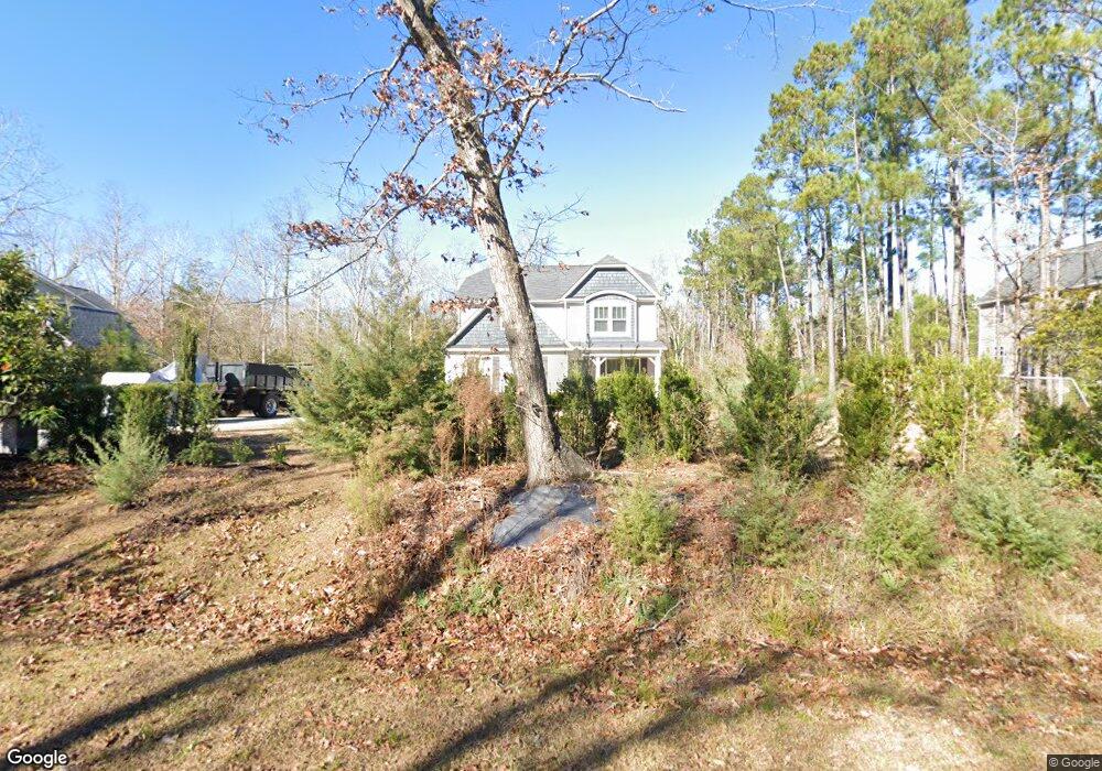
205 Chuckanut Dr Unit DIRIVE Hampstead, NC 28443
Estimated Value: $621,639 - $664,000
4
Beds
4
Baths
2,914
Sq Ft
$220/Sq Ft
Est. Value
About This Home
This home is located at 205 Chuckanut Dr Unit DIRIVE, Hampstead, NC 28443 and is currently estimated at $639,910, approximately $219 per square foot. 205 Chuckanut Dr Unit DIRIVE is a home located in Pender County with nearby schools including South Topsail Elementary School, Topsail Middle School, and Topsail High School.
Ownership History
Date
Name
Owned For
Owner Type
Purchase Details
Closed on
Jun 13, 2025
Sold by
Fox Elaine Anne
Bought by
Fox Christopher
Current Estimated Value
Purchase Details
Closed on
Dec 4, 2021
Sold by
Fox Ashley
Bought by
Fox Christopher and Fox Elaine Anne
Home Financials for this Owner
Home Financials are based on the most recent Mortgage that was taken out on this home.
Original Mortgage
$270,500
Interest Rate
3.14%
Mortgage Type
New Conventional
Create a Home Valuation Report for This Property
The Home Valuation Report is an in-depth analysis detailing your home's value as well as a comparison with similar homes in the area
Home Values in the Area
Average Home Value in this Area
Purchase History
| Date | Buyer | Sale Price | Title Company |
|---|---|---|---|
| Fox Christopher | -- | None Listed On Document | |
| Fox Christopher | -- | Blend Title Ins Agcy Inc |
Source: Public Records
Mortgage History
| Date | Status | Borrower | Loan Amount |
|---|---|---|---|
| Previous Owner | Fox Christopher | $270,500 |
Source: Public Records
Tax History
| Year | Tax Paid | Tax Assessment Tax Assessment Total Assessment is a certain percentage of the fair market value that is determined by local assessors to be the total taxable value of land and additions on the property. | Land | Improvement |
|---|---|---|---|---|
| 2025 | $3,073 | $636,943 | $98,753 | $538,190 |
| 2024 | $3,073 | $310,594 | $79,035 | $231,559 |
| 2023 | $3,073 | $310,594 | $79,035 | $231,559 |
| 2022 | $2,806 | $310,594 | $79,035 | $231,559 |
| 2021 | $2,806 | $310,594 | $79,035 | $231,559 |
| 2020 | $2,806 | $310,594 | $79,035 | $231,559 |
| 2019 | $2,806 | $310,594 | $79,035 | $231,559 |
| 2018 | $2,318 | $240,439 | $34,875 | $205,564 |
| 2017 | $2,318 | $240,439 | $34,875 | $205,564 |
| 2016 | $2,294 | $240,439 | $34,875 | $205,564 |
| 2015 | $281 | $240,439 | $34,875 | $205,564 |
| 2014 | -- | $32,550 | $32,550 | $0 |
Source: Public Records
Map
Nearby Homes
- 105 Bay Blossom Ct
- 39 Excalibur Point
- 193 Fresh Air Dr
- 225 Factory Rd
- 447 Factory Rd
- 439 Factory Rd
- 284 Bluenose Ln
- 200 1st St
- 348 Bluenose Ln
- 113 Deerfield Dr
- 126 Jackline Dr
- 893 Dan Owen Dr
- 1189 Dan Owen Dr
- 1091 Dan Owen Dr
- 145 W Keel Dr
- 222 Hughes Rd
- 107 Weir Dr
- L225 E Keel East Rd
- 37 Lyford Cay Ct
- 84 Aspen Rd
- 205 Chuckanut Dr
- 101 Bay Blossom Ct
- 101 Bay Blossom Ct
- 239 Bay Blossom Ct
- 203 Chuckanut Dr
- 103 Bay Blossom Ct
- 102 Bay Blossom Ct
- 301 Chuckanut Dr
- 301 Chuckanut Dr
- 104 Bay Blossom Ct
- 104 Bay Blossom Ct
- 106 Katydid Ct
- 106 Katydid Ct
- 115 Katydid Ct
- 223 Chuckanut Dr
- 0 Katydid Ct Unit 30443345
- 227 Katydid Ct
- 230 Katydid Ct
- 0 Katydid Ct
- 0 Katydid Ct
Your Personal Tour Guide
Ask me questions while you tour the home.