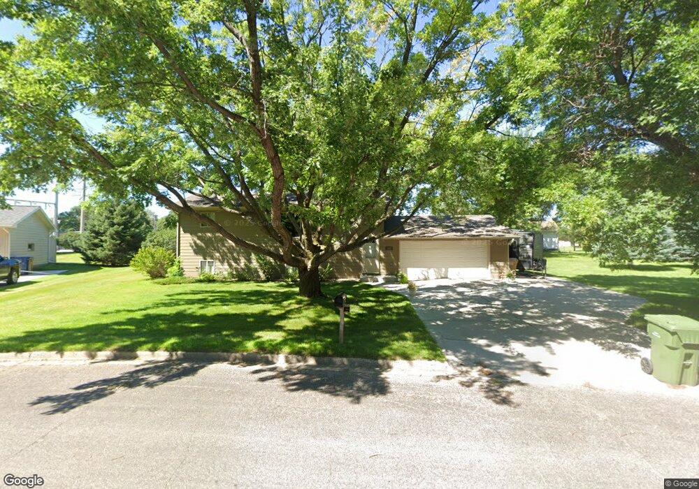
205 Circle Dr Watertown, SD 57201
Estimated Value: $281,000 - $332,000
4
Beds
2
Baths
1,776
Sq Ft
$172/Sq Ft
Est. Value
About This Home
This home is located at 205 Circle Dr, Watertown, SD 57201 and is currently estimated at $305,599, approximately $172 per square foot. 205 Circle Dr is a home located in Codington County with nearby schools including Watertown High School, Immaculate Conception School, and St. Martin's Lutheran School.
Ownership History
Date
Name
Owned For
Owner Type
Purchase Details
Closed on
Jul 13, 2009
Sold by
Clark Dean R and Clark Dorette J
Bought by
Janisch Ronald
Current Estimated Value
Home Financials for this Owner
Home Financials are based on the most recent Mortgage that was taken out on this home.
Original Mortgage
$105,600
Outstanding Balance
$69,999
Interest Rate
5.62%
Mortgage Type
Purchase Money Mortgage
Estimated Equity
$235,600
Create a Home Valuation Report for This Property
The Home Valuation Report is an in-depth analysis detailing your home's value as well as a comparison with similar homes in the area
Home Values in the Area
Average Home Value in this Area
Purchase History
| Date | Buyer | Sale Price | Title Company |
|---|---|---|---|
| Janisch Ronald | $132,000 | -- |
Source: Public Records
Mortgage History
| Date | Status | Borrower | Loan Amount |
|---|---|---|---|
| Open | Janisch Ronald | $105,600 |
Source: Public Records
Tax History
| Year | Tax Paid | Tax Assessment Tax Assessment Total Assessment is a certain percentage of the fair market value that is determined by local assessors to be the total taxable value of land and additions on the property. | Land | Improvement |
|---|---|---|---|---|
| 2025 | $2,716 | $254,682 | $76,918 | $177,764 |
| 2024 | $2,611 | $254,682 | $76,918 | $177,764 |
| 2023 | $2,372 | $236,060 | $69,925 | $166,135 |
| 2022 | $2,254 | $200,879 | $62,433 | $138,446 |
| 2021 | $2,107 | $183,041 | $44,595 | $138,446 |
| 2020 | $2,053 | $167,975 | $39,817 | $128,158 |
| 2019 | $2,063 | $163,046 | $39,817 | $123,229 |
| 2018 | $2,037 | $163,046 | $39,817 | $123,229 |
| 2017 | $2,389 | $163,046 | $39,817 | $123,229 |
| 2016 | $2,368 | $183,728 | $38,882 | $144,846 |
| 2015 | $2,368 | $170,560 | $38,882 | $131,678 |
| 2014 | -- | $162,906 | $33,810 | $129,096 |
Source: Public Records
Map
Nearby Homes
- 1133 3rd Ave SE
- 0 1st Ave NE Unit 30-4793
- 0 1st Ave NE Unit 30-3075
- 1300 9th St NW
- 2017 Kemp Place E
- 2119 Kemp Place E
- 148 Meadow Dr
- 103 16th St NE
- 2258 Overlook Ridge Ct
- 816 2nd Ave SE
- 313 9th St SE
- 2002 Palisades Ln
- 14 8th St SE
- 141 14th St NE
- 721 E Kemp Ave
- LA, B1
- 507 8th St SE
- L12 B7 37th St SW
- 1709 Bruhn Ave NE
- L11 B7 37th St SW
Your Personal Tour Guide
Ask me questions while you tour the home.