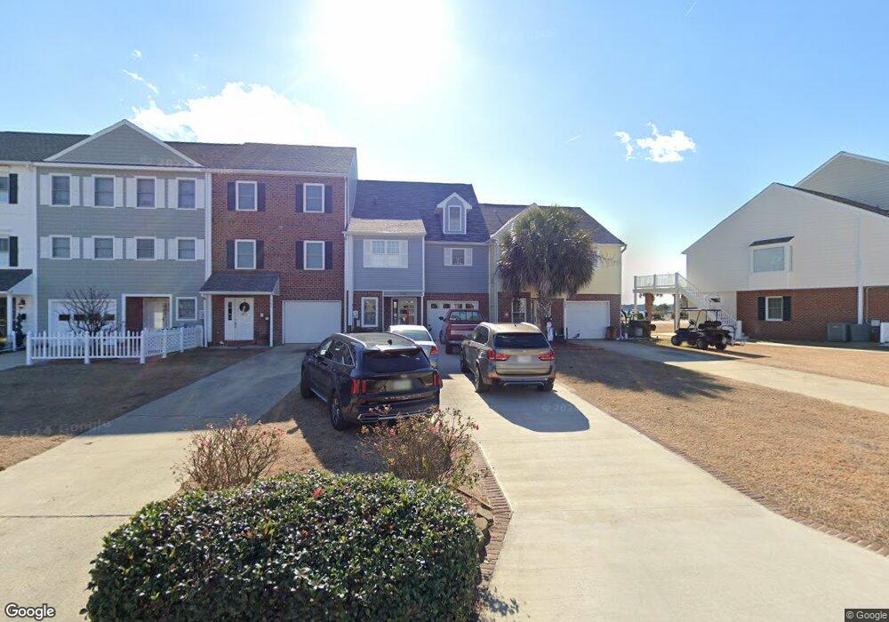
205 E Bay Dr Sneads Ferry, NC 28460
Estimated Value: $404,419 - $607,000
3
Beds
3
Baths
2,502
Sq Ft
$205/Sq Ft
Est. Value
About This Home
This home is located at 205 E Bay Dr, Sneads Ferry, NC 28460 and is currently estimated at $513,855, approximately $205 per square foot. 205 E Bay Dr is a home located in Onslow County with nearby schools including Dixon Elementary School and Dixon High School.
Ownership History
Date
Name
Owned For
Owner Type
Purchase Details
Closed on
Nov 15, 2007
Sold by
Fulcher R Charles and Fulcher Vicki L
Bought by
Manni Robert G and Lewis Manni Debbie
Current Estimated Value
Home Financials for this Owner
Home Financials are based on the most recent Mortgage that was taken out on this home.
Original Mortgage
$381,600
Outstanding Balance
$235,012
Interest Rate
5.87%
Mortgage Type
Purchase Money Mortgage
Estimated Equity
$278,843
Purchase Details
Closed on
Apr 5, 2005
Sold by
Duckworth Neal W and Duckworth Kathleen M
Bought by
Fulcher R Charles and Fulcher Vicki L
Create a Home Valuation Report for This Property
The Home Valuation Report is an in-depth analysis detailing your home's value as well as a comparison with similar homes in the area
Home Values in the Area
Average Home Value in this Area
Purchase History
| Date | Buyer | Sale Price | Title Company |
|---|---|---|---|
| Manni Robert G | $477,000 | None Available | |
| Fulcher R Charles | $274,000 | None Available |
Source: Public Records
Mortgage History
| Date | Status | Borrower | Loan Amount |
|---|---|---|---|
| Open | Manni Robert G | $381,600 |
Source: Public Records
Tax History
| Year | Tax Paid | Tax Assessment Tax Assessment Total Assessment is a certain percentage of the fair market value that is determined by local assessors to be the total taxable value of land and additions on the property. | Land | Improvement |
|---|---|---|---|---|
| 2025 | $2,296 | $350,546 | $78,000 | $272,546 |
| 2024 | $2,296 | $350,546 | $78,000 | $272,546 |
| 2023 | $2,296 | $350,546 | $78,000 | $272,546 |
| 2022 | $2,296 | $350,546 | $78,000 | $272,546 |
| 2021 | $2,001 | $283,850 | $135,000 | $148,850 |
| 2020 | $1,995 | $283,010 | $135,000 | $148,010 |
| 2019 | $1,843 | $261,480 | $135,000 | $126,480 |
| 2018 | $1,995 | $283,010 | $135,000 | $148,010 |
| 2017 | $1,412 | $209,200 | $76,000 | $133,200 |
| 2016 | $1,412 | $209,200 | $0 | $0 |
| 2015 | $1,412 | $209,200 | $0 | $0 |
| 2014 | $1,412 | $209,200 | $0 | $0 |
Source: Public Records
Map
Nearby Homes
- 10 Bay Dr
- 1 Bay Dr
- 1.75ac Flamingo Ln
- 128 Missie Cove Ln
- 121 Dolphin Ln
- 527 Chadwick Shores Dr
- 814 Chadwick Shores Dr
- 1065 Chadwick Shores Dr
- 1058 Chadwick Shores Dr
- 823 Chadwick Shores Dr
- 113 Tillett Ln
- 136 Cedar Hollow Ln
- 1039 Chadwick Shores Dr
- 413 Beacon Ln
- 412 Crows Nest Ln
- 163 Bayshore Dr
- 400 Justice Farm Dr
- 1027 Meridian Dr
- 657 Canady Rd
- 1015 Meridian Dr
Your Personal Tour Guide
Ask me questions while you tour the home.