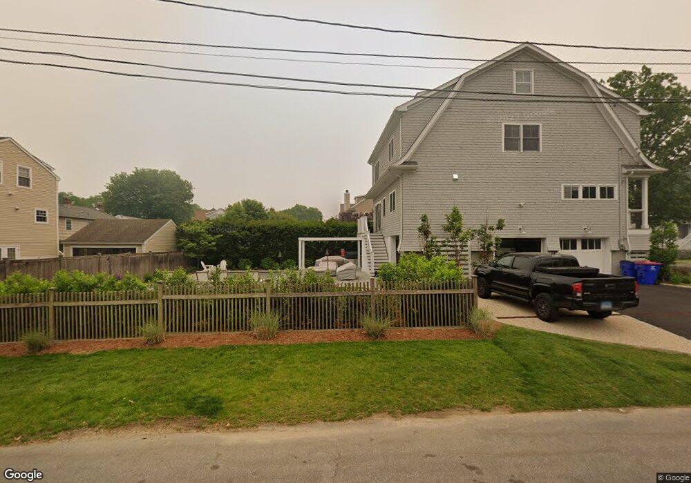
205 E Paulding St Fairfield, CT 06824
Fairfield Beach NeighborhoodEstimated Value: $1,522,000 - $2,010,000
About This Home
This home is located at 205 E Paulding St, Fairfield, CT 06824 and is currently estimated at $1,826,944, approximately $647 per square foot. 205 E Paulding St is a home located in Fairfield County with nearby schools including Roger Sherman Elementary School, Roger Ludlowe Middle School, and Fairfield Ludlowe High School.
Ownership History
We collect this data history from publicly available records. To have your information removed, we recommend requesting removal directly through your county’s website.
Purchase Details
Home Values in the Area
Average Home Value in this Area
Purchase History
We collect this data history from publicly available records. To have your information removed, we recommend requesting removal directly through your county’s website.
| Date | Buyer | Sale Price | Title Company |
|---|---|---|---|
| $685,000 | -- | ||
| $685,000 | -- |
Mortgage History
We collect this data history from publicly available records. To have your information removed, we recommend requesting removal directly through your county’s website.
| Date | Status | Borrower | Loan Amount |
|---|---|---|---|
| Open | $200,000 | ||
| Open | $390,000 |
Tax History
We collect this data history from publicly available records. To have your information removed, we recommend requesting removal directly through your county’s website.
| Year | Tax Paid | Tax Assessment Tax Assessment Total Assessment is a certain percentage of the fair market value that is determined by local assessors to be the total taxable value of land and additions on the property. | Land | Improvement |
|---|---|---|---|---|
| 2025 | $18,655 | $657,090 | $421,960 | $235,130 |
| 2024 | $18,304 | $656,040 | $421,960 | $234,080 |
| 2023 | $18,048 | $656,040 | $421,960 | $234,080 |
| 2022 | $17,871 | $656,040 | $421,960 | $234,080 |
| 2021 | $17,700 | $656,040 | $421,960 | $234,080 |
| 2020 | $17,722 | $661,500 | $389,690 | $271,810 |
| 2019 | $17,722 | $661,500 | $389,690 | $271,810 |
| 2018 | $17,437 | $661,500 | $389,690 | $271,810 |
| 2017 | $16,290 | $630,910 | $389,690 | $241,220 |
| 2016 | $16,057 | $630,910 | $389,690 | $241,220 |
| 2015 | $16,178 | $652,610 | $406,490 | $246,120 |
| 2014 | $15,924 | $652,610 | $406,490 | $246,120 |
Map
- 69 Birch Rd
- 378 Penfield Rd
- 153 Birch Rd
- 394 Penfield Rd
- 349 Beach Rd
- 173 Puritan Rd
- 372 Rowland Rd
- 920 Old Post Rd
- 550 Penfield Rd
- 75 Millard St
- 298 S Benson Rd
- 896 Riverside Dr
- 96 Clinton St
- 187 Catherine Terrace
- 10 Horace Ct
- 313 Old Post Rd
- 598 S Benson Rd
- 35 S Benson Commons
- 215 Old Post Rd
- 126 Ann St
- 23 Birch Rd
- 237 Penfield Rd
- 251 Penfield Rd
- 42 E Paulding St
- 39 Birch Rd
- 267 Penfield Rd
- 51 Birch Rd
- 213 Penfield Rd
- 281 Penfield Rd
- 295 Penfield Rd
- 278 Penfield Rd
- 264 Penfield Rd
- 230 Penfield Rd
- 17 Paulding St
- 309 Penfield Rd
- 296 Penfield Rd
- 201 Penfield Rd
- 180 Penfield Rd
- 310 Penfield Rd
- 333 Penfield Rd
Ask me questions while you tour the home.