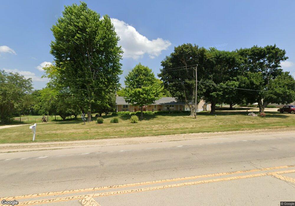
205 Il Route 64 Lanark, IL 61046
Estimated Value: $218,514 - $241,000
About This Home
This home is located at 205 Il Route 64, Lanark, IL 61046 and is currently estimated at $228,379, approximately $182 per square foot. 205 Il Route 64 is a home located in Carroll County with nearby schools including Eastland Elementary School and Eastland Junior-Senior High School.
Ownership History
We collect this data history from publicly available records. To have your information removed, we recommend requesting removal directly through your county’s website.
Purchase Details
Purchase Details
Purchase History
We collect this data history from publicly available records. To have your information removed, we recommend requesting removal directly through your county’s website.
| Date | Buyer | Sale Price | Title Company |
|---|---|---|---|
| $150,000 | Security First Title | ||
| -- | -- |
Tax History
We collect this data history from publicly available records. To have your information removed, we recommend requesting removal directly through your county’s website.
| Year | Tax Paid | Tax Assessment Tax Assessment Total Assessment is a certain percentage of the fair market value that is determined by local assessors to be the total taxable value of land and additions on the property. | Land | Improvement |
|---|---|---|---|---|
| 2025 | $4,660 | $72,710 | $10,414 | $62,296 |
| 2024 | $3,217 | $50,409 | $9,554 | $40,855 |
| 2023 | -- | $45,008 | $8,530 | $36,478 |
| 2022 | $1,255 | $40,186 | $7,616 | $32,570 |
| 2021 | $1,303 | $41,179 | $8,609 | $32,570 |
| 2020 | $1,308 | $39,629 | $8,609 | $31,020 |
| 2019 | $1,355 | $39,629 | $8,609 | $31,020 |
| 2018 | $1,358 | $39,629 | $8,609 | $31,020 |
| 2017 | $1,340 | $39,629 | $8,609 | $31,020 |
| 2016 | $1,334 | $39,056 | $8,609 | $30,447 |
| 2015 | $1,324 | $39,056 | $8,609 | $30,447 |
| 2014 | $1,417 | $39,056 | $8,609 | $30,447 |
| 2013 | $1,417 | $39,056 | $8,609 | $30,447 |
Map
- 204 W Pearl St
- 629 E Locust St
- 520 N Bruce St
- 20-31 & 32 Fox Run Dr
- 3-499 Shady Ln
- 13-143 Newberry Ct
- 23205 Blackberry Ct
- 21-76 Lake Carroll Blvd
- 30-45 Brookside Dr
- 22-6 Lakewood Ct
- 22-2 Lakewood Ct
- 21-54 Old Wharf Rd
- 13-73R Lakeview Ct
- 21-9 Timber Shore Dr
- 21-51 Marina Ct
- 13-102 Quail Hollow Dr Unit 13-103 Quail Hollow
- 12-124R Briarwood Dr
- 12-251R Spring Creek Dr
- 3-521 Shady Ln
- 3521 Shady Ln
- 201 Illinois 64
- 305,307,309 Illinois 64
- 25375 Cyclone Ridge Rd
- 494 S Broad St
- 101 Circle Dr
- 468 S Broad St
- 214 Parker Ct
- 500 S Broad St Unit E
- 210 Parker Ct
- 140 Parker Ct
- 503 S Broad St
- 507 Crestview Ct
- 138 Parker Ct
- 466 S Broad St
- 130 Parker Ct
- 505 Crestview Ct
- 30530730 Il Route 64
- 220 Parker Ct
- 314 Blair Ln
- 501 Il Route 64
Ask me questions while you tour the home.