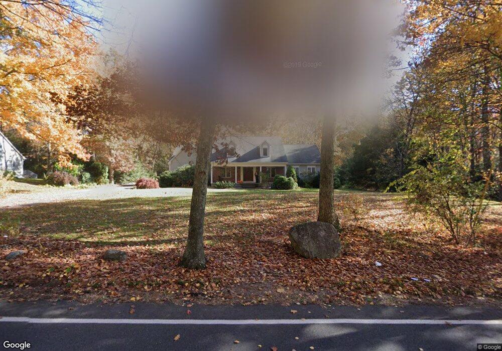
205 Maynard Rd Wilbraham, MA 01095
Estimated Value: $661,256 - $695,000
5
Beds
3
Baths
3,064
Sq Ft
$222/Sq Ft
Est. Value
About This Home
This home is located at 205 Maynard Rd, Wilbraham, MA 01095 and is currently estimated at $680,085, approximately $221 per square foot. 205 Maynard Rd is a home located in Hampden County with nearby schools including Minnechaug Regional High School, St John The Baptist School, and Wilbraham & Monson Academy.
Ownership History
Date
Name
Owned For
Owner Type
Purchase Details
Closed on
Sep 15, 2010
Sold by
Vartanian Aram and Vartanian Lisa M
Bought by
Eaton Gregg M and Eaton Lois Maynes
Current Estimated Value
Home Financials for this Owner
Home Financials are based on the most recent Mortgage that was taken out on this home.
Original Mortgage
$324,000
Outstanding Balance
$214,706
Interest Rate
4.51%
Mortgage Type
Purchase Money Mortgage
Estimated Equity
$465,379
Create a Home Valuation Report for This Property
The Home Valuation Report is an in-depth analysis detailing your home's value as well as a comparison with similar homes in the area
Home Values in the Area
Average Home Value in this Area
Purchase History
| Date | Buyer | Sale Price | Title Company |
|---|---|---|---|
| Eaton Gregg M | $405,000 | -- |
Source: Public Records
Mortgage History
| Date | Status | Borrower | Loan Amount |
|---|---|---|---|
| Open | Eaton Gregg M | $324,000 |
Source: Public Records
Tax History
| Year | Tax Paid | Tax Assessment Tax Assessment Total Assessment is a certain percentage of the fair market value that is determined by local assessors to be the total taxable value of land and additions on the property. | Land | Improvement |
|---|---|---|---|---|
| 2025 | $10,587 | $592,100 | $96,100 | $496,000 |
| 2024 | $9,618 | $519,900 | $96,100 | $423,800 |
| 2023 | $9,255 | $475,600 | $96,100 | $379,500 |
| 2022 | $9,255 | $451,700 | $96,100 | $355,600 |
| 2021 | $9,122 | $397,300 | $95,300 | $302,000 |
| 2020 | $8,892 | $397,300 | $95,300 | $302,000 |
| 2019 | $8,661 | $397,300 | $95,300 | $302,000 |
| 2018 | $8,230 | $363,500 | $95,300 | $268,200 |
| 2017 | $7,997 | $363,500 | $95,300 | $268,200 |
| 2016 | $7,890 | $365,300 | $105,800 | $259,500 |
| 2015 | $7,627 | $365,300 | $105,800 | $259,500 |
Source: Public Records
Map
Nearby Homes
- 38 King Dr
- 44 Balsam Hill Rd
- Lot 88 Turning Leaf Equinox Pass
- 37 Balsam Hill Rd
- 80 Elizabeth Dr
- 5 Silver St
- 30 Red Bridge Rd Land Lot 3
- 30 Red Bridge Rd Land Lot 1
- 30 Red Bridge Rd Land Lot 6
- 30 Red Bridge Rd Land Lot 8
- 30 Red Bridge Rd Land Lot 4
- 30 Red Bridge Rd Land Lot 5
- 30 Red Bridge Rd Land Lot 7
- 36 Maple St
- 1172 East St
- 19 Voltage Ave
- 406 Springfield St
- 10 Alden St
- 235 James St
- 229 Miller St Unit D-6
Your Personal Tour Guide
Ask me questions while you tour the home.