Estimated Value: $100,000 - $181,000
2
Beds
1
Bath
865
Sq Ft
$166/Sq Ft
Est. Value
About This Home
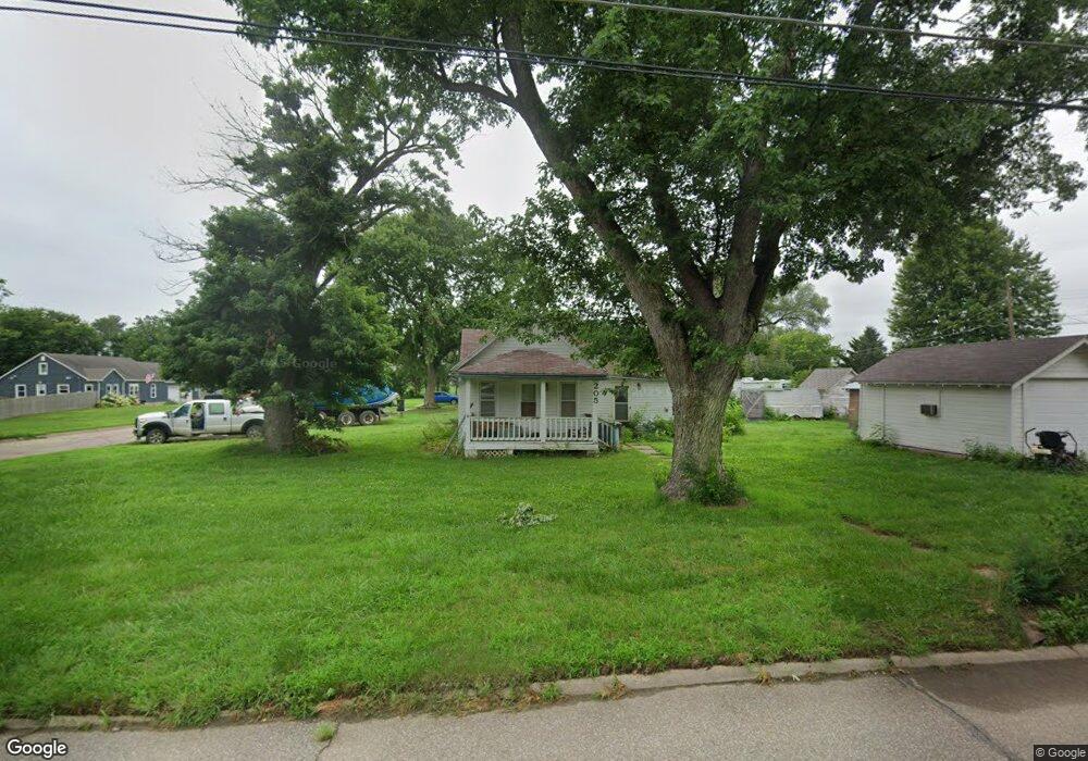
This home is located at 205 N Locust St, Wahoo, NE 68066 and is currently estimated at $143,282, approximately $165 per square foot. 205 N Locust St is a home located in Saunders County with nearby schools including Wahoo Elementary School, Wahoo Middle School, and Wahoo High School.
Ownership History
Date
Name
Owned For
Owner Type
Purchase Details
Closed on
Aug 15, 2016
Sold by
Otto Sheila R
Bought by
Subbert Stacey J and Subbert Lawanna L
Current Estimated Value
Home Financials for this Owner
Home Financials are based on the most recent Mortgage that was taken out on this home.
Original Mortgage
$48,000
Interest Rate
3.42%
Mortgage Type
New Conventional
Purchase Details
Closed on
Jul 9, 2007
Sold by
Otto Sheila R and Osterloh Ronald L
Bought by
Otto Sheila R
Home Financials for this Owner
Home Financials are based on the most recent Mortgage that was taken out on this home.
Original Mortgage
$35,320
Interest Rate
6.71%
Create a Home Valuation Report for This Property
The Home Valuation Report is an in-depth analysis detailing your home's value as well as a comparison with similar homes in the area
Home Values in the Area
Average Home Value in this Area
Purchase History
| Date | Buyer | Sale Price | Title Company |
|---|---|---|---|
| Subbert Stacey J | $48,000 | None Available | |
| Otto Sheila R | -- | -- |
Source: Public Records
Mortgage History
| Date | Status | Borrower | Loan Amount |
|---|---|---|---|
| Closed | Subbert Stacey J | $48,000 | |
| Previous Owner | Otto Sheila R | $35,320 |
Source: Public Records
Tax History
| Year | Tax Paid | Tax Assessment Tax Assessment Total Assessment is a certain percentage of the fair market value that is determined by local assessors to be the total taxable value of land and additions on the property. | Land | Improvement |
|---|---|---|---|---|
| 2025 | $528 | $39,179 | $24,595 | $14,584 |
| 2024 | $406 | $38,501 | $24,595 | $13,906 |
| 2023 | $1,426 | $81,493 | $24,595 | $56,898 |
| 2022 | $689 | $36,739 | $24,595 | $12,144 |
| 2021 | $682 | $35,374 | $24,595 | $10,779 |
| 2020 | $680 | $35,023 | $24,595 | $10,428 |
| 2019 | $1,280 | $64,465 | $24,595 | $39,870 |
| 2018 | $1,126 | $54,330 | $24,600 | $29,730 |
| 2017 | $112 | $54,330 | $24,600 | $29,730 |
| 2016 | $1,037 | $49,460 | $24,600 | $24,860 |
| 2015 | $1,045 | $49,460 | $24,600 | $24,860 |
| 2014 | $1,063 | $49,460 | $24,600 | $24,860 |
| 2012 | $1,125 | $49,460 | $24,600 | $24,860 |
Source: Public Records
Map
Nearby Homes
- 453 W 4th St
- 243 S Linden St
- 565 W 10th St
- 26.26 Acres NW 19th & County Road Q
- Lot 3 Wanahoo Ridges
- 412 E 2nd St
- 720 W 10th St
- 1152 N Sycamore St
- 1175 N Locust St
- 1246 N Broadway St
- 468 E 10th St
- 2125 N Broadway St
- 1989 N Linden St
- 1502 Spruce St
- 731 W 24th Cir
- 517 W 25th St
- 778 W 24th Cir
- 1210 Woodland Rd
- 0 Hwy 77 & County Road I
- 1644 County Road 16
Your Personal Tour Guide
Ask me questions while you tour the home.