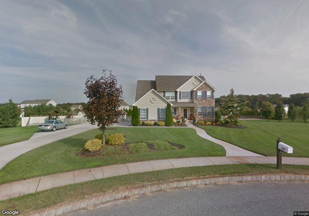
205 Pheasant Ct Monroeville, NJ 08343
Estimated Value: $590,674 - $665,000
Studio
--
Bath
2,821
Sq Ft
$220/Sq Ft
Est. Value
About This Home
This home is located at 205 Pheasant Ct, Monroeville, NJ 08343 and is currently estimated at $620,169, approximately $219 per square foot. 205 Pheasant Ct is a home located in Gloucester County with nearby schools including Aura Elementary School, Delsea Regional Middle School, and Delsea Regional High School.
Ownership History
Date
Name
Owned For
Owner Type
Purchase Details
Closed on
Feb 12, 2004
Sold by
Main St Development Corp
Bought by
Mulholland Brian R and Mulholland Donna M
Current Estimated Value
Home Financials for this Owner
Home Financials are based on the most recent Mortgage that was taken out on this home.
Original Mortgage
$233,750
Outstanding Balance
$109,628
Interest Rate
5.83%
Mortgage Type
Purchase Money Mortgage
Estimated Equity
$510,541
Create a Home Valuation Report for This Property
The Home Valuation Report is an in-depth analysis detailing your home's value as well as a comparison with similar homes in the area
Home Values in the Area
Average Home Value in this Area
Purchase History
| Date | Buyer | Sale Price | Title Company |
|---|---|---|---|
| Mulholland Brian R | $292,190 | Congress |
Source: Public Records
Mortgage History
| Date | Status | Borrower | Loan Amount |
|---|---|---|---|
| Open | Mulholland Brian R | $233,750 |
Source: Public Records
Tax History
| Year | Tax Paid | Tax Assessment Tax Assessment Total Assessment is a certain percentage of the fair market value that is determined by local assessors to be the total taxable value of land and additions on the property. | Land | Improvement |
|---|---|---|---|---|
| 2025 | $12,248 | $340,700 | $67,600 | $273,100 |
| 2024 | $12,364 | $340,700 | $67,600 | $273,100 |
| 2023 | $12,364 | $340,700 | $67,600 | $273,100 |
| 2022 | $12,514 | $340,700 | $67,600 | $273,100 |
| 2021 | $12,664 | $340,700 | $67,600 | $273,100 |
| 2020 | $12,541 | $340,700 | $67,600 | $273,100 |
| 2019 | $12,153 | $340,700 | $67,600 | $273,100 |
| 2018 | $11,928 | $340,700 | $67,600 | $273,100 |
| 2017 | $11,597 | $340,700 | $67,600 | $273,100 |
| 2016 | $11,482 | $340,700 | $67,600 | $273,100 |
| 2015 | $11,151 | $340,700 | $67,600 | $273,100 |
| 2014 | $10,640 | $340,700 | $67,600 | $273,100 |
Source: Public Records
Map
Nearby Homes
- 330 Meadowbrook Dr
- 234 Iris Rd
- 871 Pinewood Ave
- 107 Millstone Way
- 121 Moods Rd
- 503 Bridgeton Pike
- 337 Ewan Rd
- 328 Ewan Rd
- 521 Clems Run
- 453 Clems Run
- 1518 Commissioners Rd
- 748 Clems Run
- 305 Fislerville Rd
- 0 Harrisonville Rd Unit NJGL2065976
- 112 Field Loop
- 207 Maria Elena Dr
- 122 Joanne Ct
- 232 Commissioners Rd
- 46 Fox Haven Ln
- B. 17 L.6&7.01 Richwood Rd
- 331 Meadowbrook Dr
- 335 Meadowbrook Dr
- 201 Pheasant Ct
- 204 Pheasant Ct
- 208 Pheasant Ct
- 309 Meadowbrook Dr
- 339 Meadowbrook Dr
- 200 Pheasant Ct
- 125 Elk Rd
- 440 Mallard Ln
- 400 Mallard Ln
- 101 Quail Ct
- 100 Quail Ct
- 310 Meadowbrook Dr
- 314 Meadowbrook Dr
- 432 Mallard Ln
- 322 Meadowbrook Dr
- 318 Meadowbrook Dr
- 105 Quail Ct
- 406 Mallard Ln
Your Personal Tour Guide
Ask me questions while you tour the home.