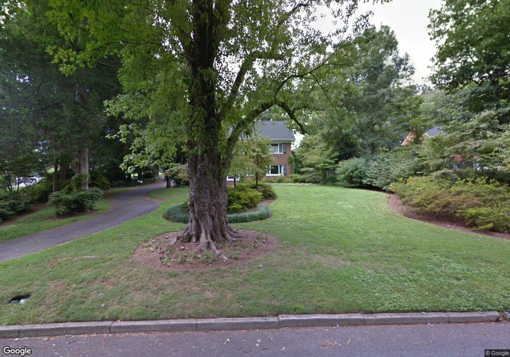
205 Riverside Dr Morganton, NC 28655
Estimated Value: $572,000 - $666,000
4
Beds
4
Baths
4,248
Sq Ft
$146/Sq Ft
Est. Value
About This Home
This home is located at 205 Riverside Dr, Morganton, NC 28655 and is currently estimated at $618,616, approximately $145 per square foot. 205 Riverside Dr is a home located in Burke County with nearby schools including Forest Hill Elementary School, Walter R. Johnson Middle School, and Robert L. Patton High School.
Ownership History
Date
Name
Owned For
Owner Type
Purchase Details
Closed on
Feb 20, 2018
Sold by
Evans Evans S and Evans Amy H
Bought by
Evans Evans S and Evans Amy H
Current Estimated Value
Purchase Details
Closed on
Apr 20, 2009
Sold by
Hemstreet Donald J and Hemstreet Joy G
Bought by
Evans S R and Evans Amy H
Home Financials for this Owner
Home Financials are based on the most recent Mortgage that was taken out on this home.
Original Mortgage
$301,500
Outstanding Balance
$178,123
Interest Rate
3.75%
Mortgage Type
Purchase Money Mortgage
Estimated Equity
$440,493
Create a Home Valuation Report for This Property
The Home Valuation Report is an in-depth analysis detailing your home's value as well as a comparison with similar homes in the area
Home Values in the Area
Average Home Value in this Area
Purchase History
| Date | Buyer | Sale Price | Title Company |
|---|---|---|---|
| Evans Evans S | -- | None Available | |
| Evans S R | $301,500 | None Available |
Source: Public Records
Mortgage History
| Date | Status | Borrower | Loan Amount |
|---|---|---|---|
| Open | Evans S R | $301,500 |
Source: Public Records
Tax History
| Year | Tax Paid | Tax Assessment Tax Assessment Total Assessment is a certain percentage of the fair market value that is determined by local assessors to be the total taxable value of land and additions on the property. | Land | Improvement |
|---|---|---|---|---|
| 2025 | $2,303 | $379,922 | $68,106 | $311,816 |
| 2024 | $2,822 | $470,752 | $68,106 | $402,646 |
| 2023 | $2,812 | $470,752 | $68,106 | $402,646 |
| 2022 | $2,917 | $396,180 | $68,106 | $328,074 |
| 2021 | $2,905 | $396,180 | $68,106 | $328,074 |
| 2020 | $2,897 | $396,180 | $68,106 | $328,074 |
| 2019 | $2,855 | $390,121 | $68,106 | $322,015 |
| 2018 | $2,410 | $325,998 | $65,949 | $260,049 |
| 2017 | $2,406 | $325,998 | $65,949 | $260,049 |
| 2016 | $2,347 | $325,998 | $65,949 | $260,049 |
| 2015 | $2,341 | $325,998 | $65,949 | $260,049 |
| 2014 | $2,283 | $317,877 | $65,949 | $251,928 |
| 2013 | $2,283 | $317,877 | $65,949 | $251,928 |
Source: Public Records
Map
Nearby Homes
- 212 Riverside Dr
- 0 Riverside Dr
- 218 Davis Dr
- 231 Davis Dr
- 142 Pearson Dr
- 104 1/2 Woodbine Terrace
- 507 Riverside Dr
- 608 1/2 W Concord St
- 111 Kinwood St
- 214 Howard St
- 113 Falls St
- 357 Walton Rd
- 220 W Park Dr
- 430 N Green St
- 315 W Mcdowell St
- 118 W Union St Unit Suite A
- 118 W Union St Unit A
- 223 W Park Dr
- 232 W Park Dr
- 507 S College St
- 207 Riverside Dr
- 201 Riverside Dr
- 101 Montrose St
- 103 Riverside Dr
- 202 Riverside Dr
- 109 Mountain View St
- 103 Pearson Dr
- 105 Mountain View St
- 101 Riverside Dr
- 209 Riverside Dr
- 107 Steeple Heights Ln
- 100 Pearson Dr
- 604 W Union St
- 604 W Union St
- 108 Riverside Dr
- 105 Montrose St
- 102 Mountain View St
- 103 Greenwood Place
- 103 Greenwood Place
- 102 Riverside Dr
Your Personal Tour Guide
Ask me questions while you tour the home.