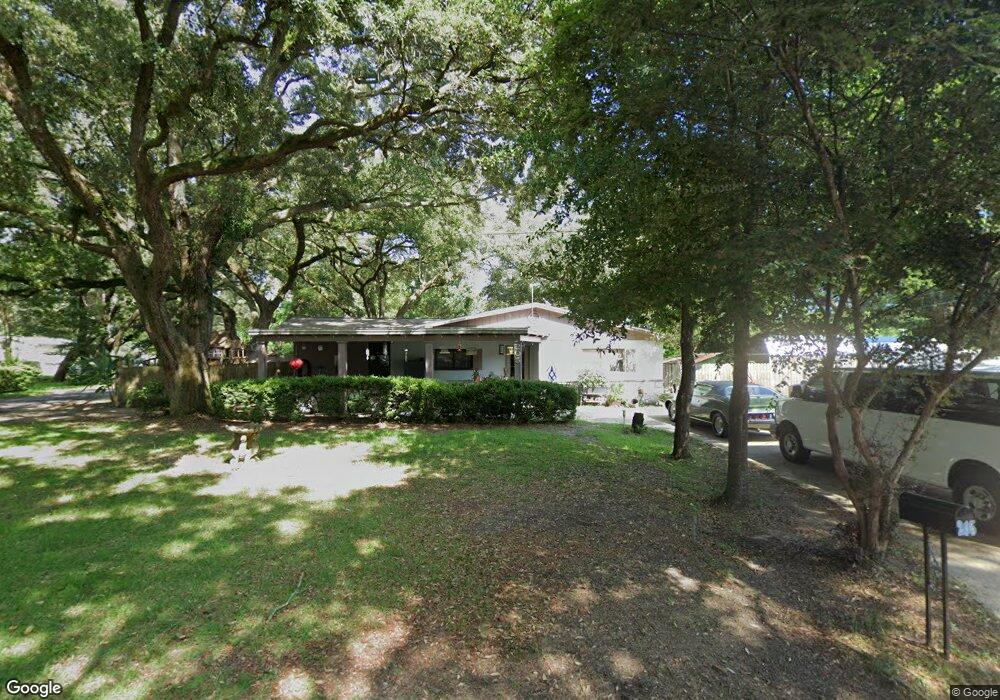
205 Saint Patrick Ave Pensacola, FL 32503
Estimated Value: $198,000 - $235,000
About This Home
This home is located at 205 Saint Patrick Ave, Pensacola, FL 32503 and is currently estimated at $215,791, approximately $137 per square foot. 205 Saint Patrick Ave is a home located in Escambia County with nearby schools including Brentwood Elementary School, Ferry Pass Middle School, and Booker T. Washington High School.
Ownership History
We collect this data history from publicly available records. To have your information removed, we recommend requesting removal directly through your county’s website.
Purchase Details
Home Financials for this Owner
Home Financials are based on the most recent Mortgage that was taken out on this home.Purchase Details
Home Values in the Area
Average Home Value in this Area
Purchase History
We collect this data history from publicly available records. To have your information removed, we recommend requesting removal directly through your county’s website.
| Date | Buyer | Sale Price | Title Company |
|---|---|---|---|
| $135,000 | Lawyers Title Ins | ||
| $9,900 | -- |
Mortgage History
We collect this data history from publicly available records. To have your information removed, we recommend requesting removal directly through your county’s website.
| Date | Status | Borrower | Loan Amount |
|---|---|---|---|
| Open | $135,000 |
Tax History
We collect this data history from publicly available records. To have your information removed, we recommend requesting removal directly through your county’s website.
| Year | Tax Paid | Tax Assessment Tax Assessment Total Assessment is a certain percentage of the fair market value that is determined by local assessors to be the total taxable value of land and additions on the property. | Land | Improvement |
|---|---|---|---|---|
| 2025 | $497 | $75,342 | -- | -- |
| 2024 | $499 | $73,219 | -- | -- |
| 2023 | $499 | $71,087 | $0 | $0 |
| 2022 | $554 | $69,017 | $0 | $0 |
| 2021 | $561 | $67,007 | $0 | $0 |
| 2020 | $554 | $66,082 | $0 | $0 |
| 2019 | $550 | $64,597 | $0 | $0 |
| 2018 | $554 | $63,393 | $0 | $0 |
| 2017 | $556 | $62,090 | $0 | $0 |
| 2016 | $557 | $60,813 | $0 | $0 |
| 2015 | $544 | $60,391 | $0 | $0 |
| 2014 | $533 | $59,912 | $0 | $0 |
Map
- 284 Airport Blvd
- 245 Airport Blvd
- 385 Hancock Ln
- 121 Airport Blvd
- 125 Memory Ln
- 123 Hancock Ln
- 100 East Dr
- 198 Saint John St
- 6406 Antietam Dr
- 5921 Count Rd
- 546 Shiloh Dr
- 21 Hancock Ln
- 40 Arthur Ln
- 20 Saint John St
- 5906 Walton St
- 202 Southern St
- 6107 Confederate Dr
- 6015 Born Ct
- 100 Savannah St
- 305 Shiloh Dr
- 283 Saint Patrick Ave
- 5809 Rawson Ln
- 286 Airport Blvd
- 282 Saint Patrick Ave
- 0288 Airport Blvd
- 282 Airport Blvd
- 288 Airport Blvd
- 281 Saint Patrick Ave
- 5812 Rawson Ln
- 5810 Rawson Ln
- 5814 Rawson Ln
- 280 Saint Patrick Ave
- 5808 Rawson Ln
- 280 Airport Blvd
- 5816 Rawson Ln
- 5806 Rawson Ln
- 5905 Rawson Ln
- 279 Saint Patrick Ave
- 278 Saint Patrick Ave
- 5818 Rawson Ln
Ask me questions while you tour the home.