20519 U S 441 Commerce, GA 30529
Estimated Value: $666,639
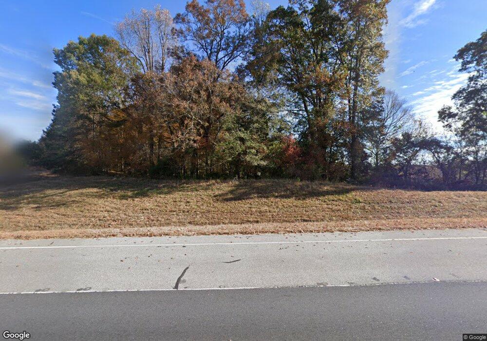
About This Home
This home is located at 20519 U S 441, Commerce, GA 30529 and is currently estimated at $666,639, approximately $114 per square foot. 20519 U S 441 is a home located in Banks County with nearby schools including Banks County Primary School, Banks County Elementary School, and Banks County Middle School.
Ownership History
We collect this data history from publicly available records. To have your information removed, we recommend requesting removal directly through your county’s website.
Purchase Details
Purchase Details
Home Financials for this Owner
Home Financials are based on the most recent Mortgage that was taken out on this home.Purchase Details
Home Financials for this Owner
Home Financials are based on the most recent Mortgage that was taken out on this home.Purchase Details
Purchase History
We collect this data history from publicly available records. To have your information removed, we recommend requesting removal directly through your county’s website.
| Date | Buyer | Sale Price | Title Company |
|---|---|---|---|
| -- | -- | ||
| $600,000 | -- | ||
| $185,000 | -- | ||
| -- | -- |
Mortgage History
We collect this data history from publicly available records. To have your information removed, we recommend requesting removal directly through your county’s website.
| Date | Status | Borrower | Loan Amount |
|---|---|---|---|
| Previous Owner | $325,000 | ||
| Previous Owner | $151,274 |
Tax History
We collect this data history from publicly available records. To have your information removed, we recommend requesting removal directly through your county’s website.
| Year | Tax Paid | Tax Assessment Tax Assessment Total Assessment is a certain percentage of the fair market value that is determined by local assessors to be the total taxable value of land and additions on the property. | Land | Improvement |
|---|---|---|---|---|
| 2025 | $4,755 | $241,331 | $110,000 | $131,331 |
| 2024 | $4,755 | $241,331 | $110,000 | $131,331 |
| 2023 | $4,812 | $236,437 | $110,000 | $126,437 |
| 2022 | $3,005 | $142,993 | $50,000 | $92,993 |
| 2021 | $2,988 | $133,729 | $46,380 | $87,349 |
| 2020 | $2,791 | $121,705 | $34,356 | $87,349 |
| 2019 | $2,805 | $121,705 | $34,356 | $87,349 |
| 2018 | $2,851 | $121,705 | $34,356 | $87,349 |
| 2017 | $2,864 | $117,223 | $29,874 | $87,349 |
Map
- 20352 Highway 441 S
- 0 McDonald Cir Unit 7694829
- 112 White Oak Trail
- 144 Chestnut Trail
- 130 Maple Dr
- 139 Bell Acres Rd
- 996 Grove Level Rd
- 0 Thompson St Unit 10785362
- 0 Thompson St Unit 7787969
- 0 Eisenhower Dr
- 0 N Highway 441 Unit 10570307
- 1183 Wilson Bridge Rd
- 0 McCoy Bridge Rd Unit 20148799
- 840 Haggard Rd
- 0 Steven B Tanger Blvd Unit 18091877
- 2015 Highway 59
- 119 Gordon Rd
- 606 Beck Rd
- 291 Chambers Rd
- 333 Sims Bridge Rd
- 0 N Us Highway 441 at Richie Rd Unit 8945698
- 0 Hwy 441 and Richey Rd Unit 3201602
- 159 Richey Rd
- 0 Highway 441 S Unit 5931156
- 0 Highway 441 S Unit 5909948
- 0 Highway 441 S Unit 5884060
- 0 Highway 441 S Unit 3278436
- 0 Highway 441 S Unit 7311320
- 0 Highway 441 S Unit 7329432
- 0 Highway 441 S Unit 7583110
- 0 Highway 441 S Unit 8035879
- 0 Highway 441 S Unit 8138648
- 0 Highway 441 S Unit 7083280
- 0 Highway 441 S Unit 7240241
- 0 Highway 441 S Unit 7273083
- 0 Highway 441 S Unit 7251108
- 0 Highway 441 S Unit 7256897
- 0 Highway 441 S Unit 7444463
- 0 Highway 441 S Unit 9 8031984
- 00 Highway 441 S
Ask me questions while you tour the home.