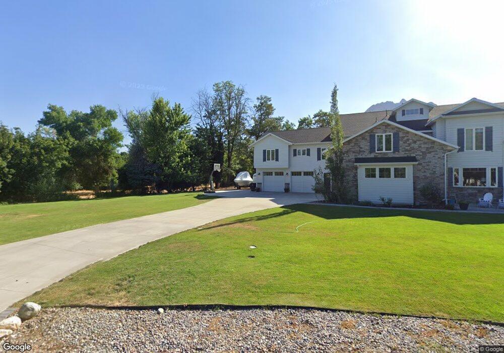
2053 E Pheasant Cir Holladay, UT 84121
Estimated Value: $2,254,000 - $3,707,461
3
Beds
3
Baths
2,866
Sq Ft
$1,057/Sq Ft
Est. Value
About This Home
This home is located at 2053 E Pheasant Cir, Holladay, UT 84121 and is currently estimated at $3,029,154, approximately $1,056 per square foot. 2053 E Pheasant Cir is a home located in Salt Lake County with nearby schools including Oakwood Elementary School, Bonneville Junior High School, and Cottonwood High School.
Ownership History
Date
Name
Owned For
Owner Type
Purchase Details
Closed on
Aug 29, 2016
Sold by
Mecham Allan K
Bought by
Robertson Malcolm J
Current Estimated Value
Purchase Details
Closed on
Jan 9, 2012
Sold by
Winder Kristin Reese and Staker Shanni Elton
Bought by
Mecham Allan K
Home Financials for this Owner
Home Financials are based on the most recent Mortgage that was taken out on this home.
Original Mortgage
$490,860
Interest Rate
3.93%
Mortgage Type
FHA
Create a Home Valuation Report for This Property
The Home Valuation Report is an in-depth analysis detailing your home's value as well as a comparison with similar homes in the area
Home Values in the Area
Average Home Value in this Area
Purchase History
| Date | Buyer | Sale Price | Title Company |
|---|---|---|---|
| Robertson Malcolm J | -- | Metro National Title | |
| Mecham Allan K | -- | Founders Title |
Source: Public Records
Mortgage History
| Date | Status | Borrower | Loan Amount |
|---|---|---|---|
| Previous Owner | Mecham Allan K | $490,860 |
Source: Public Records
Tax History
| Year | Tax Paid | Tax Assessment Tax Assessment Total Assessment is a certain percentage of the fair market value that is determined by local assessors to be the total taxable value of land and additions on the property. | Land | Improvement |
|---|---|---|---|---|
| 2025 | $14,862 | $2,793,300 | $762,600 | $2,030,700 |
| 2024 | $14,862 | $2,628,500 | $722,900 | $1,905,600 |
| 2023 | $14,885 | $2,569,800 | $656,700 | $1,913,100 |
| 2022 | $14,005 | $2,445,800 | $643,800 | $1,802,000 |
| 2021 | $13,984 | $2,152,900 | $632,500 | $1,520,400 |
| 2020 | $12,268 | $1,872,700 | $632,500 | $1,240,200 |
| 2019 | $12,566 | $1,867,900 | $609,900 | $1,258,000 |
Source: Public Records
Map
Nearby Homes
- 2062 E Walker Ln
- 5575 S Merlyn Cir
- 2113 E Fardown Ave
- 5845 S 1900 E
- 1908 Baywood Dr
- 1932 E Charleston Ln
- 2318 E Walker Ln
- 5946 S Highland Dr
- 2051 E Normandywoods Ct
- 1944 Spring Ln
- 2323 E Walker Ln
- 5308 S Baywood Cir
- 5750 Glenbrook Dr
- 6048 S 2075 E
- 6019 S 2180 E
- 6066 S 2075 E
- 1950 E 5150 S Unit 89
- 5169 S 1870 E Unit 18-4
- 5795 S Minden Dr
- 6150 Murdoch Woods Place
- 2053 Pheasant Cir
- 2060 E Walker Ln Unit 2060
- 2060 E Walker Ln Unit 14
- 2060 E Walker Ln
- 2067 Pheasant Cir
- 2071 E Pheasant Way
- 2073 Pheasant Way
- 2037 Pheasant Cir
- 2040 Pheasant Cir
- 2054 E Pheasant Cir
- 2054 Pheasant Cir
- 2104 E Walker Ln
- 2104 Walker Ln
- 2104 Walker Ln Unit 11
- 1997 E Pheasant Way
- 1997 Pheasant Way
- 1997 E Pheasant Way
- 2062 Walker Ln
- 2018 Pheasant Cir
- 2064 Walker Ln
Your Personal Tour Guide
Ask me questions while you tour the home.