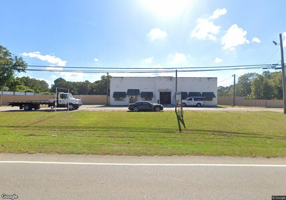
2053 West Point Rd Lagrange, GA 30240
Studio
1
Bath
8,266
Sq Ft
1.42
Acres Lot
About This Home
This home is located at 2053 West Point Rd, Lagrange, GA 30240. 2053 West Point Rd is a home located in Troup County with nearby schools including Berta Weathersbee Elementary School, Whitesville Road Elementary School, and Long Cane Elementary School.
Ownership History
Date
Name
Owned For
Owner Type
Purchase Details
Closed on
Oct 26, 1998
Sold by
Lloyd Moore
Bought by
Moore Lloyd
Purchase Details
Closed on
May 7, 1996
Sold by
Brenda Whitehurst
Bought by
Lloyd Moore
Purchase Details
Closed on
Mar 6, 1995
Sold by
Loyd Moore
Bought by
Brenda Whitehurst
Purchase Details
Closed on
Nov 2, 1977
Bought by
Loyd Moore
Purchase Details
Closed on
Oct 22, 1977
Purchase Details
Closed on
Sep 27, 1977
Purchase Details
Closed on
Apr 28, 1975
Purchase Details
Closed on
Jan 1, 1969
Create a Home Valuation Report for This Property
The Home Valuation Report is an in-depth analysis detailing your home's value as well as a comparison with similar homes in the area
Purchase History
We collect this data history from publicly available records. To have your information removed, we recommend requesting removal directly through your county’s website.
| Date | Buyer | Sale Price | Title Company |
|---|---|---|---|
| Moore Lloyd | -- | -- | |
| Lloyd Moore | $130,000 | -- | |
| Brenda Whitehurst | -- | -- | |
| Loyd Moore | -- | -- | |
| -- | -- | -- | |
| -- | -- | -- | |
| -- | -- | -- | |
| -- | -- | -- |
Source: Public Records
Tax History
| Year | Tax Paid | Tax Assessment Tax Assessment Total Assessment is a certain percentage of the fair market value that is determined by local assessors to be the total taxable value of land and additions on the property. | Land | Improvement |
|---|---|---|---|---|
| 2025 | $3,606 | $132,224 | $71,000 | $61,224 |
| 2024 | $3,607 | $132,272 | $71,000 | $61,272 |
| 2023 | $3,498 | $128,272 | $71,000 | $57,272 |
| 2022 | $3,580 | $128,272 | $71,000 | $57,272 |
| 2021 | $2,374 | $78,708 | $42,600 | $36,108 |
| 2020 | $2,374 | $78,708 | $42,600 | $36,108 |
| 2019 | $2,378 | $78,832 | $42,600 | $36,232 |
| 2018 | $2,378 | $78,832 | $42,600 | $36,232 |
| 2017 | $2,206 | $73,152 | $36,920 | $36,232 |
| 2016 | $2,261 | $74,969 | $36,920 | $38,049 |
| 2015 | $2,265 | $74,969 | $36,920 | $38,049 |
| 2014 | $2,104 | $69,528 | $28,400 | $41,128 |
| 2013 | -- | $69,454 | $28,400 | $41,054 |
Source: Public Records
Map
Nearby Homes
- 0 Unit 10514554
- 3 Crown St Unit LOT 1
- 9 Crown St Unit LOT 4
- 802 Monroe St
- 227 W Lakeview Dr
- 205 Grady St
- 519 Freeman St
- 113 Oakview Ln
- 0 Bradfield Dr Unit 10568803
- 53 Horace Carter Rd
- 903 Troup St
- 138 Martha St
- 211 Moores Hill
- 0 Moores Hill
- 202 Parker Ln
- 419 Fling Rd
- 109 Garfield St
- 613 S Lee St
- 412 S Lee St
- 310 N Lee St
- 2063 W Point Rd
- 8 Sunset Dr
- 9 Terrace Dr
- 20 Sunset Dr
- 2005 West Point Rd
- 2094 W Point Rd
- 11 Sunset Dr
- 11 Sunset Dr Unit 1
- 29 Terrace Dr
- 2092 W Point Rd
- 36 Sunset Dr
- 27 Sunset Dr
- 18 New Airport Rd
- 46 New Airport Rd
- LOT 9 Morningside Dr
- 9 Morningside Dr
- 52 New Airport Rd
- 2002 W Point Rd
- 40 Morningside Dr
- 74 New Airport Rd
Your Personal Tour Guide
Ask me questions while you tour the home.