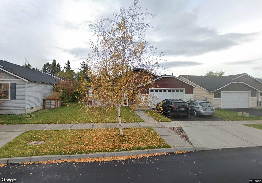
20531 Anson Place Bend, OR 97701
Boyd Acres NeighborhoodEstimated Value: $485,000 - $510,000
About This Home
This home is located at 20531 Anson Place, Bend, OR 97701 and is currently estimated at $497,160, approximately $344 per square foot. 20531 Anson Place is a home located in Deschutes County with nearby schools including Lava Ridge Elementary School, Sky View Middle School, and Mountain View Senior High School.
Ownership History
We collect this data history from publicly available records. To have your information removed, we recommend requesting removal directly through your county’s website.
Purchase Details
Home Financials for this Owner
Home Financials are based on the most recent Mortgage that was taken out on this home.Home Values in the Area
Average Home Value in this Area
Purchase History
We collect this data history from publicly available records. To have your information removed, we recommend requesting removal directly through your county’s website.
| Date | Buyer | Sale Price | Title Company |
|---|---|---|---|
| $223,209 | Amerititle |
Mortgage History
We collect this data history from publicly available records. To have your information removed, we recommend requesting removal directly through your county’s website.
| Date | Status | Borrower | Loan Amount |
|---|---|---|---|
| Open | $178,567 |
Tax History
We collect this data history from publicly available records. To have your information removed, we recommend requesting removal directly through your county’s website.
| Year | Tax Paid | Tax Assessment Tax Assessment Total Assessment is a certain percentage of the fair market value that is determined by local assessors to be the total taxable value of land and additions on the property. | Land | Improvement |
|---|---|---|---|---|
| 2025 | $3,131 | $185,300 | -- | -- |
| 2024 | $3,012 | $179,910 | -- | -- |
| 2023 | $2,792 | $174,670 | $0 | $0 |
| 2022 | $2,605 | $164,660 | $0 | $0 |
| 2021 | $2,609 | $159,870 | $0 | $0 |
| 2020 | $2,476 | $159,870 | $0 | $0 |
| 2019 | $2,407 | $155,220 | $0 | $0 |
| 2018 | $2,339 | $150,700 | $0 | $0 |
| 2017 | $2,270 | $146,320 | $0 | $0 |
| 2016 | $2,165 | $142,060 | $0 | $0 |
| 2015 | $2,105 | $137,930 | $0 | $0 |
| 2014 | $2,043 | $133,920 | $0 | $0 |
Map
- 63172 Lancaster St
- 63175 NE De Haviland St
- 20535 Sunderland Way
- 63177 Iner Loop
- 63113 De Haviland Ct
- 63106 NE Sophwith Ln
- 20528 NE Empire Ave
- 20534 Empire Ave
- 20520 NE Empire Ave
- 20516 NE Empire Ave
- 20514 NE Empire Ave
- 63087 Boyd Acres Rd
- 20530 NE Empire Ave
- 20570 Fred Meyers Rd
- 63103 NE Henningsen Place
- 20671 Town Dr
- 63222 Brad St
- 20679 Town Dr
- 20683 Town Dr
- 63193 Carly Ln
- 63165 Lancaster St
- 20527 Anson Place
- 63164 Lancaster St
- 63173 Lancaster St
- 20523 Anson Place
- 63160 Lancaster St
- 63156 Lancaster St
- 20532 Anson Place
- 63152 Lancaster St
- 63148 Lancaster St
- 63168 Lancaster St
- 20528 Anson Place
- 63162 De Haviland St
- 63144 Lancaster St
- 63177 Lancaster St
- 63140 Lancaster St
- 20524 Anson Place
- 63159 Boyd Acres Rd
- 63155 Boyd Acres Rd
- 0 Lancaster St
Ask me questions while you tour the home.