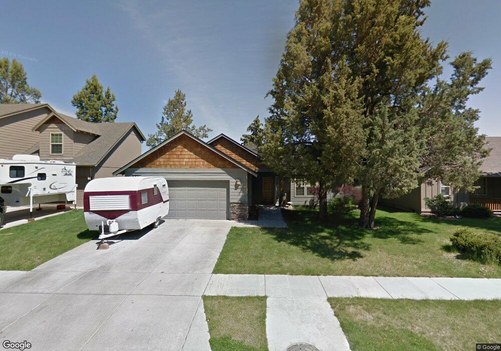
20548 Conifer Ave Bend, OR 97702
Old Farm District NeighborhoodEstimated Value: $555,235 - $573,000
About This Home
This home is located at 20548 Conifer Ave, Bend, OR 97702 and is currently estimated at $562,309, approximately $392 per square foot. 20548 Conifer Ave is a home located in Deschutes County with nearby schools including Silver Rail Elementary School, Pilot Butte Middle School, and Bend Senior High School.
Ownership History
We collect this data history from publicly available records. To have your information removed, we recommend requesting removal directly through your county’s website.
Purchase Details
Purchase Details
Home Financials for this Owner
Home Financials are based on the most recent Mortgage that was taken out on this home.Home Values in the Area
Average Home Value in this Area
Purchase History
We collect this data history from publicly available records. To have your information removed, we recommend requesting removal directly through your county’s website.
| Date | Buyer | Sale Price | Title Company |
|---|---|---|---|
| -- | None Listed On Document | ||
| -- | Amerititle |
Mortgage History
We collect this data history from publicly available records. To have your information removed, we recommend requesting removal directly through your county’s website.
| Date | Status | Borrower | Loan Amount |
|---|---|---|---|
| Previous Owner | $111,500 |
Tax History
We collect this data history from publicly available records. To have your information removed, we recommend requesting removal directly through your county’s website.
| Year | Tax Paid | Tax Assessment Tax Assessment Total Assessment is a certain percentage of the fair market value that is determined by local assessors to be the total taxable value of land and additions on the property. | Land | Improvement |
|---|---|---|---|---|
| 2025 | $3,738 | $221,240 | ||
| 2024 | $3,596 | $214,800 | ||
| 2023 | $3,334 | $208,550 | $0 | $0 |
| 2022 | $3,111 | $196,590 | $0 | $0 |
| 2021 | $3,115 | $190,870 | $0 | $0 |
| 2020 | $2,956 | $190,870 | $0 | $0 |
| 2019 | $2,874 | $185,320 | $0 | $0 |
| 2018 | $2,792 | $179,930 | $0 | $0 |
| 2017 | $2,711 | $174,690 | $0 | $0 |
| 2016 | $2,585 | $169,610 | $0 | $0 |
| 2015 | $2,513 | $164,670 | $0 | $0 |
| 2014 | $2,439 | $159,880 | $0 | $0 |
Map
- 20621 Couples Ln
- 61437 SE Daybreak Ct Unit Lot 9
- 61429 SE Daybreak Ct Unit Lot 7
- 61417 SE Daybreak Unit 4
- 61442 SE Daybreak Ct Unit Lot 11
- 61425 SE Daybreak Ct Unit Lot 6
- 20571 Rolen Ave
- 61434 SE Daybreak Unit 13
- 20561 Sun Meadow Way
- 61405 SE Daybreak Ct Unit 1
- 61409 SE Daybreak Ct Unit Lot 2
- 20625 SE Slate Ave
- 61235 Splendor Ln
- 20606 SE Slate Ave
- 20653 Foxborough Ln
- 61354 SE Preston St
- 61370 SE Preston St
- 20599 Kira Dr Unit 382
- 61219 Fairfield Dr
- 20417 SE Senden Ln
- 20542 Conifer Ave
- 20554 Conifer Ave
- 61351 Whitetail St
- 20537 Dylan Loop
- 61357 Whitetail St
- 20553 Conifer Ave
- 20533 Dylan Loop
- 20541 Dylan Loop
- 20529 Dylan Loop
- 61363 Whitetail St
- 20566 Conifer Ave
- 20545 Dylan Loop
- 20547 Conifer Ave
- 20594 Prospector Loop
- 20565 Conifer Ave
- 20525 Dylan Loop
- 20549 Dylan Loop
- 20559 Conifer Ave
- 20590 Prospector Loop
- 61369 Whitetail St
Ask me questions while you tour the home.