2055 Apa Rd Point Roberts, WA 98281
Estimated Value: $758,000 - $870,000
About This Home
This home is located at 2055 Apa Rd, Point Roberts, WA 98281 and is currently estimated at $819,135, approximately $475 per square foot. 2055 Apa Rd is a home located in Whatcom County with nearby schools including Point Roberts Primary School, Blaine Middle School, and Blaine High School.
Ownership History
We collect this data history from publicly available records. To have your information removed, we recommend requesting removal directly through your county’s website.
Purchase Details
Purchase Details
Home Financials for this Owner
Home Financials are based on the most recent Mortgage that was taken out on this home.Home Values in the Area
Average Home Value in this Area
Purchase History
We collect this data history from publicly available records. To have your information removed, we recommend requesting removal directly through your county’s website.
| Date | Buyer | Sale Price | Title Company |
|---|---|---|---|
| -- | None Available | ||
| -- | Whatcom Land Title |
Mortgage History
We collect this data history from publicly available records. To have your information removed, we recommend requesting removal directly through your county’s website.
| Date | Status | Borrower | Loan Amount |
|---|---|---|---|
| Closed | $262,500 |
Tax History
We collect this data history from publicly available records. To have your information removed, we recommend requesting removal directly through your county’s website.
| Year | Tax Paid | Tax Assessment Tax Assessment Total Assessment is a certain percentage of the fair market value that is determined by local assessors to be the total taxable value of land and additions on the property. | Land | Improvement |
|---|---|---|---|---|
| 2025 | $6,248 | $793,639 | $334,538 | $459,101 |
| 2024 | $5,981 | $785,773 | $331,238 | $454,535 |
| 2023 | $5,981 | $755,660 | $301,125 | $454,535 |
| 2022 | $4,621 | $690,100 | $275,000 | $415,100 |
| 2021 | $4,602 | $480,045 | $167,200 | $312,845 |
| 2020 | $4,574 | $444,480 | $154,813 | $289,667 |
| 2019 | $4,229 | $426,355 | $148,500 | $277,855 |
| 2018 | $4,202 | $383,289 | $133,500 | $249,789 |
| 2017 | $3,641 | $366,063 | $127,500 | $238,563 |
| 2016 | $4,655 | $358,885 | $125,000 | $233,885 |
| 2015 | $4,952 | $446,549 | $217,373 | $229,176 |
| 2014 | -- | $466,833 | $227,250 | $239,583 |
| 2013 | -- | $446,878 | $218,250 | $228,628 |
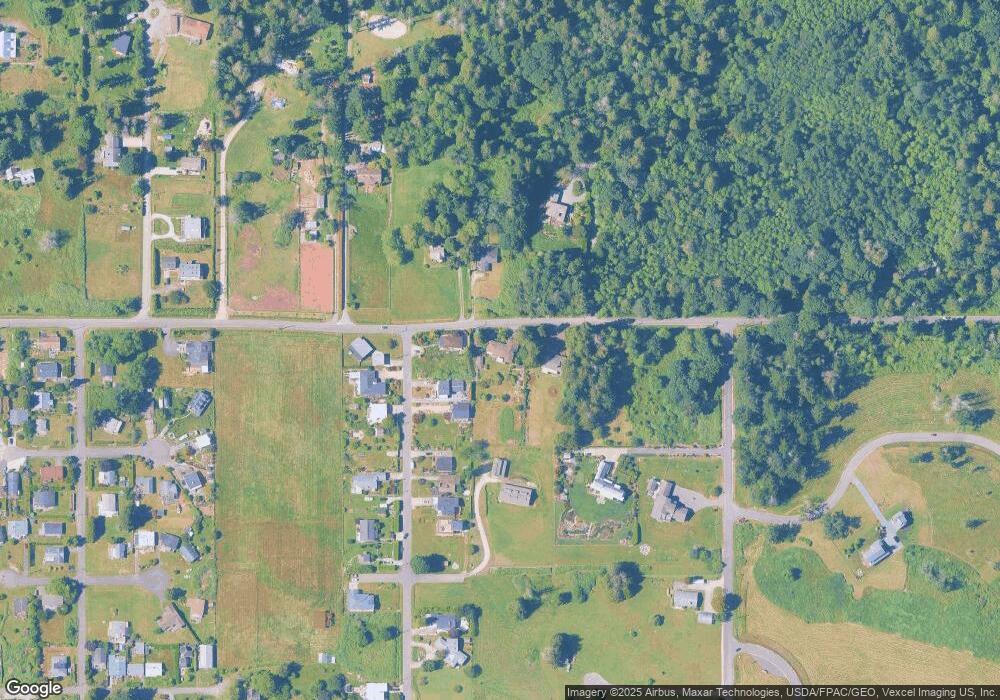
Map
- 2045 Apa Rd
- 610 Highland Dr
- 675 Sylvia Dr
- 2149 Seabright Loop
- 2128 Seabright Loop
- 1983 Cedar Park Dr
- 634 S Beach Rd
- 6 acres S Beach Rd
- 1967 N Cedar Park Dr
- 731 Kendor Dr
- 1940 Cedar Park Dr
- 2193 Seabright Loop
- 511 S Beach Rd
- 2222 Ross Rd
- 689 Deer Ln
- 616 Mallard Dr
- 500 Moose Trail
- 0 Deer Rd
- 6 Weasel Run Rd
- 1881 Edwards Dr
- 614 Highland Dr
- 620 Highland Dr
- 605 Highland Dr
- 619 Highland Dr
- 2067 Apa Rd
- 2052 Apa Rd
- 628 Highland Dr
- 632 Highland Dr
- 2046 Apa Rd
- 571 Island View Ln
- 633 Highland Dr
- 636 Highland Dr
- 2030 Apa Rd
- 2050 Cliffside Dr
- 2044 Cliffside Dr
- 643 Highland Dr
- 0 Lot 4 Boundary Bay Rd
- 0 xxx Berry
- 631 Pauls Rd
- 1994 Saturna Place
Ask me questions while you tour the home.