2058 Redding Rd Fairfield, CT 06824
Greenfield Hill NeighborhoodEstimated Value: $1,185,000 - $1,543,000
About This Home
This home is located at 2058 Redding Rd, Fairfield, CT 06824 and is currently estimated at $1,347,841, approximately $624 per square foot. 2058 Redding Rd is a home located in Fairfield County with nearby schools including Burr Elementary School, Tomlinson Middle School, and Fairfield Warde High School.
Ownership History
We collect this data history from publicly available records. To have your information removed, we recommend requesting removal directly through your county’s website.
Purchase Details
Home Financials for this Owner
Home Financials are based on the most recent Mortgage that was taken out on this home.Home Values in the Area
Average Home Value in this Area
Purchase History
We collect this data history from publicly available records. To have your information removed, we recommend requesting removal directly through your county’s website.
| Date | Buyer | Sale Price | Title Company |
|---|---|---|---|
| $342,500 | -- | ||
| $342,500 | -- |
Mortgage History
We collect this data history from publicly available records. To have your information removed, we recommend requesting removal directly through your county’s website.
| Date | Status | Borrower | Loan Amount |
|---|---|---|---|
| Open | $332,000 | ||
| Closed | $330,000 | ||
| Closed | $308,250 |
Tax History
We collect this data history from publicly available records. To have your information removed, we recommend requesting removal directly through your county’s website.
| Year | Tax Paid | Tax Assessment Tax Assessment Total Assessment is a certain percentage of the fair market value that is determined by local assessors to be the total taxable value of land and additions on the property. | Land | Improvement |
|---|---|---|---|---|
| 2025 | $12,733 | $448,490 | $279,930 | $168,560 |
| 2024 | $12,513 | $448,490 | $279,930 | $168,560 |
| 2023 | $12,338 | $448,490 | $279,930 | $168,560 |
| 2022 | $12,217 | $448,490 | $279,930 | $168,560 |
| 2021 | $12,100 | $448,490 | $279,930 | $168,560 |
| 2020 | $12,188 | $454,930 | $270,690 | $184,240 |
| 2019 | $12,188 | $454,930 | $270,690 | $184,240 |
| 2018 | $11,992 | $454,930 | $270,690 | $184,240 |
| 2017 | $11,746 | $454,930 | $270,690 | $184,240 |
| 2016 | $11,578 | $454,930 | $270,690 | $184,240 |
| 2015 | $12,189 | $491,680 | $300,160 | $191,520 |
| 2014 | $11,997 | $491,680 | $300,160 | $191,520 |
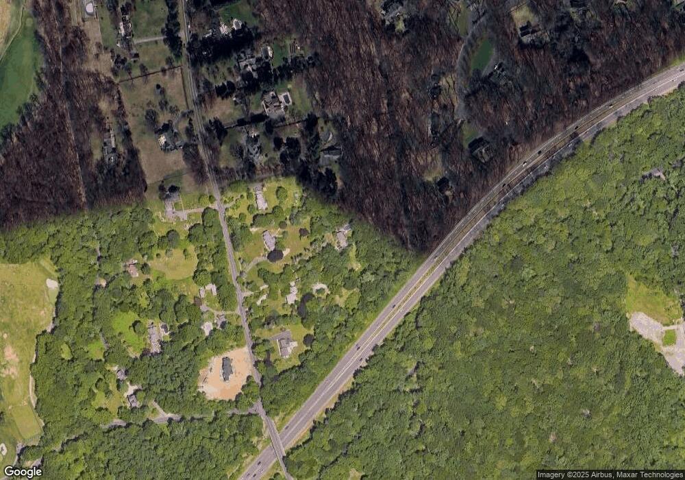
Map
- 1180 Merwins Ln
- 90 Calf Pond Ln
- 129 Quarter Horse Ln
- 4800 Congress St
- 171 Paddock Hill Ln
- 3007 Redding Rd
- 180 Catamount Rd
- 155 Labbance Ln
- 212 Fence Row Dr
- 475 Fence Row Dr
- 677 Eleven O Clock Rd
- 3050 Bronson Rd
- 324 Jennie Ln
- 2177 Cross Hwy
- 209 Merwins Ln
- 3509 Redding Rd
- 1488 Sturges Hwy
- 342 Midlock Rd
- 111 Golden Pond Ln
- 3080 Sturges Hwy
- 278 Whiting Pond Rd
- 2036 Redding Rd
- 2080 Redding Rd
- 2142 Redding Rd
- 2124 Redding Rd
- 1992 Redding Rd
- 2170 Redding Rd
- 284 Whiting Pond Rd
- 2031 Redding Rd
- 2031 Redding Rd Unit Cottage
- 273 Whiting Pond Rd
- 2200 Redding Rd
- 260 Whiting Pond Rd
- 2101 Redding Rd
- 340 Banks North Rd
- 2015 Redding Rd
- 2232 Redding Rd
- 2211 Redding Rd
- 300 Banks Rd N
- 300 Banks North Rd
Ask me questions while you tour the home.