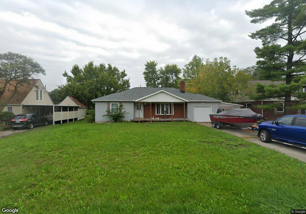
2058 W High St Lima, OH 45805
Westgate NeighborhoodEstimated Value: $199,836 - $245,000
About This Home
This home is located at 2058 W High St, Lima, OH 45805 and is currently estimated at $221,209, approximately $132 per square foot. 2058 W High St is a home located in Allen County with nearby schools including Heritage Elementary School, Lima West Middle School, and Lima North Middle School.
Ownership History
We collect this data history from publicly available records. To have your information removed, we recommend requesting removal directly through your county’s website.
Purchase Details
Purchase Details
Home Financials for this Owner
Home Financials are based on the most recent Mortgage that was taken out on this home.Purchase Details
Purchase Details
Home Values in the Area
Average Home Value in this Area
Purchase History
We collect this data history from publicly available records. To have your information removed, we recommend requesting removal directly through your county’s website.
| Date | Buyer | Sale Price | Title Company |
|---|---|---|---|
| $103,500 | Attorney | ||
| $111,500 | None Available | ||
| $68,000 | -- | ||
| $50,000 | -- |
Mortgage History
We collect this data history from publicly available records. To have your information removed, we recommend requesting removal directly through your county’s website.
| Date | Status | Borrower | Loan Amount |
|---|---|---|---|
| Open | $109,000 | ||
| Closed | $20,000 | ||
| Closed | $105,900 |
Tax History
We collect this data history from publicly available records. To have your information removed, we recommend requesting removal directly through your county’s website.
| Year | Tax Paid | Tax Assessment Tax Assessment Total Assessment is a certain percentage of the fair market value that is determined by local assessors to be the total taxable value of land and additions on the property. | Land | Improvement |
|---|---|---|---|---|
| 2025 | $2,108 | $59,710 | $8,820 | $50,890 |
| 2024 | $2,108 | $59,710 | $8,820 | $50,890 |
| 2023 | $1,706 | $41,760 | $6,160 | $35,600 |
| 2022 | $1,717 | $41,760 | $6,160 | $35,600 |
| 2021 | $1,820 | $41,760 | $6,160 | $35,600 |
| 2020 | $1,739 | $35,290 | $5,920 | $29,370 |
| 2019 | $1,739 | $35,290 | $5,920 | $29,370 |
| 2018 | $1,634 | $35,290 | $5,920 | $29,370 |
| 2017 | $1,556 | $31,300 | $5,920 | $25,380 |
| 2016 | $1,571 | $31,300 | $5,920 | $25,380 |
| 2015 | $1,481 | $31,300 | $5,920 | $25,380 |
| 2014 | $1,481 | $29,020 | $5,850 | $23,170 |
| 2013 | $1,440 | $29,020 | $5,850 | $23,170 |
Map
- 340 N Dale Dr
- 1929 W Wayne St
- 1817 Hillcrest Dr
- 2023 W Elm St
- 1828 University Blvd
- 1880 Wendell Ave
- 391 N Fernwood Dr
- 124 N Nixon Ave
- 1727 Lowell Ave
- 1440 W Market St
- 1712 Wendell Ave
- 1435 W Market St
- 511 N Nixon Ave
- 1508 Oakland Pkwy
- 1517 Allentown Rd
- 715 S Cable Rd
- 1328 W Elm St
- 1415 W Wayne St
- 1323 W Elm St
- 814 Mackenzie Dr
- 2047 W High St
- 2035 W High St
- X W High St
- 13031/2 W High St
- 2019 W High St
- 2061 W High St
- 1930 W Market St
- 1932 W Market St
- 1928 W Market St
- 2036 W High St
- 2046 W High St
- 2011 W High St
- 1924 W Market St
- 2028 W High St
- 2071 W High St
- 1942 W Market St
- 2068 W High St
- 1962 W Market St
- 2016 W High St
- 1920 W Market St
Ask me questions while you tour the home.