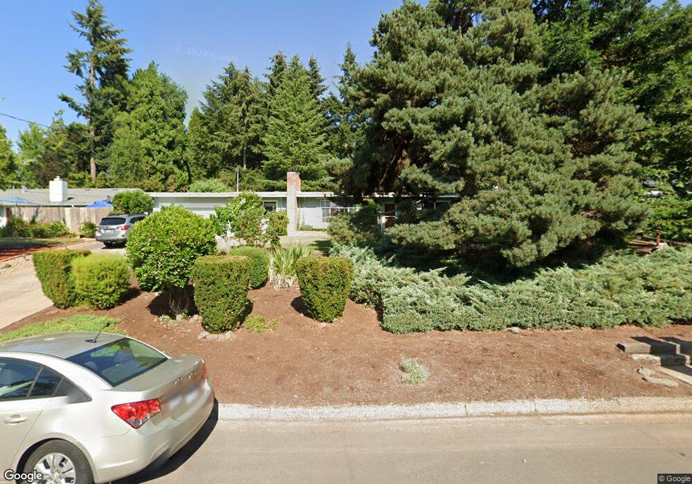
2059 Buck St Eugene, OR 97405
Churchill NeighborhoodEstimated Value: $487,222 - $555,000
3
Beds
2
Baths
1,750
Sq Ft
$302/Sq Ft
Est. Value
About This Home
This home is located at 2059 Buck St, Eugene, OR 97405 and is currently estimated at $529,306, approximately $302 per square foot. 2059 Buck St is a home located in Lane County with nearby schools including McCornack Elementary School, Kennedy Middle School, and Churchill High School.
Ownership History
Date
Name
Owned For
Owner Type
Purchase Details
Closed on
Feb 22, 2013
Sold by
Cummings Larry C and Cummings Rachel B
Bought by
Cummings Larry C and Cummings Rachel B
Current Estimated Value
Home Financials for this Owner
Home Financials are based on the most recent Mortgage that was taken out on this home.
Original Mortgage
$196,200
Outstanding Balance
$136,227
Interest Rate
3.34%
Mortgage Type
New Conventional
Estimated Equity
$393,079
Purchase Details
Closed on
Jun 8, 2011
Sold by
Cummings Larry Carl and Cummings Rachel B
Bought by
Cummings Larry C and Cummings Rachel B
Create a Home Valuation Report for This Property
The Home Valuation Report is an in-depth analysis detailing your home's value as well as a comparison with similar homes in the area
Home Values in the Area
Average Home Value in this Area
Purchase History
| Date | Buyer | Sale Price | Title Company |
|---|---|---|---|
| Cummings Larry C | -- | Multiple | |
| Cummings Larry C | -- | Fidelity Natl Title Co Of Or | |
| Cummings Larry C | -- | None Available |
Source: Public Records
Mortgage History
| Date | Status | Borrower | Loan Amount |
|---|---|---|---|
| Open | Cummings Larry C | $196,200 |
Source: Public Records
Tax History
| Year | Tax Paid | Tax Assessment Tax Assessment Total Assessment is a certain percentage of the fair market value that is determined by local assessors to be the total taxable value of land and additions on the property. | Land | Improvement |
|---|---|---|---|---|
| 2025 | $5,480 | $281,272 | -- | -- |
| 2024 | $5,412 | $273,080 | -- | -- |
| 2023 | $5,412 | $265,127 | $0 | $0 |
| 2022 | $5,070 | $257,405 | $0 | $0 |
| 2021 | $4,762 | $249,908 | $0 | $0 |
| 2020 | $4,705 | $242,630 | $0 | $0 |
| 2019 | $4,485 | $235,564 | $0 | $0 |
| 2018 | $4,171 | $222,042 | $0 | $0 |
| 2017 | $3,909 | $222,042 | $0 | $0 |
| 2016 | $3,803 | $215,575 | $0 | $0 |
| 2015 | $3,679 | $209,296 | $0 | $0 |
| 2014 | $3,595 | $203,200 | $0 | $0 |
Source: Public Records
Map
Nearby Homes
- 2145 Hawkins Ln Unit 30
- 3315 W 18th Ave
- 1945 Sunrise Blvd
- 1910 Hawkins Ln
- 0 W 18th Ave Unit LOT 2
- 0 W 18th Ave Unit LOT 3
- 3423 W 25th Ave
- 3534 Westleigh St
- 2953 W 15th Ave
- 1432 Fetters Loop
- 1438 Quaker St
- 1365 Quaker St
- 2610 Park Forest Dr
- 1326 Quaker St
- 2490 Panorama Dr
- 2279 City View St
- 2430 Wilson Dr
- 2665 E Wilshire Dr
- 3823 Wilshire Ln
- 0 Hallmark Ln
- 2071 Buck St
- 2052 Greiner St
- 2072 Greiner St
- 2032 Greiner St
- 2095 Buck St
- 3280 Ellen Ave
- 2060 Buck St
- 2092 Greiner St
- 2080 Buck St
- 2040 Buck St
- 2012 Greiner St
- 2096 Buck St
- 2010 Buck St
- 0 Greiner St Unit 24624918
- 0 Greiner St Unit 16347608
- 0 Greiner St Unit 6000
- 2101 Buck St
- 2045 Greiner St
- 2065 Greiner St
- 2025 Greiner St
Your Personal Tour Guide
Ask me questions while you tour the home.