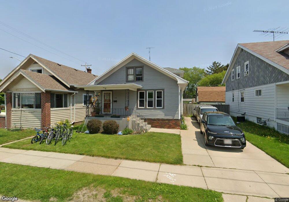
2059 Carter St Racine, WI 53402
The 13th Ward NeighborhoodEstimated Value: $164,000 - $181,000
2
Beds
2
Baths
961
Sq Ft
$180/Sq Ft
Est. Value
About This Home
This home is located at 2059 Carter St, Racine, WI 53402 and is currently estimated at $173,135, approximately $180 per square foot. 2059 Carter St is a home located in Racine County with nearby schools including Roosevelt Elementary School, Horlick High School, and Trinity Lutheran School.
Ownership History
Date
Name
Owned For
Owner Type
Purchase Details
Closed on
Dec 14, 2018
Sold by
Stinson Jennifer L and Jennifer L Stinson Family Trus
Bought by
Hottovy Benjamin
Current Estimated Value
Home Financials for this Owner
Home Financials are based on the most recent Mortgage that was taken out on this home.
Original Mortgage
$83,000
Outstanding Balance
$72,258
Interest Rate
4.8%
Mortgage Type
New Conventional
Estimated Equity
$100,877
Purchase Details
Closed on
Sep 27, 2017
Sold by
Danielson Jennifer L and Stinson Jennifer L
Bought by
Stinson Jennifer L and The Jennifer L Stinson Family
Create a Home Valuation Report for This Property
The Home Valuation Report is an in-depth analysis detailing your home's value as well as a comparison with similar homes in the area
Home Values in the Area
Average Home Value in this Area
Purchase History
| Date | Buyer | Sale Price | Title Company |
|---|---|---|---|
| Hottovy Benjamin | $97,900 | Knight Barry Title Inc | |
| Stinson Jennifer L | -- | None Available |
Source: Public Records
Mortgage History
| Date | Status | Borrower | Loan Amount |
|---|---|---|---|
| Open | Hottovy Benjamin | $83,000 |
Source: Public Records
Tax History
| Year | Tax Paid | Tax Assessment Tax Assessment Total Assessment is a certain percentage of the fair market value that is determined by local assessors to be the total taxable value of land and additions on the property. | Land | Improvement |
|---|---|---|---|---|
| 2025 | $2,985 | $130,100 | $15,000 | $115,100 |
| 2024 | $2,670 | $117,800 | $15,000 | $102,800 |
| 2023 | $2,456 | $106,000 | $15,000 | $91,000 |
| 2022 | $2,260 | $96,000 | $15,000 | $81,000 |
| 2021 | $2,280 | $87,000 | $15,000 | $72,000 |
| 2020 | $2,307 | $87,000 | $15,000 | $72,000 |
| 2019 | $2,096 | $81,000 | $15,000 | $66,000 |
| 2018 | $2,011 | $69,000 | $15,000 | $54,000 |
| 2017 | $2,051 | $69,000 | $15,000 | $54,000 |
| 2016 | $1,968 | $65,000 | $15,000 | $50,000 |
| 2015 | $2,068 | $65,000 | $15,000 | $50,000 |
| 2014 | $2,068 | $65,000 | $15,000 | $50,000 |
| 2013 | $2,068 | $71,000 | $17,400 | $53,600 |
Source: Public Records
Map
Nearby Homes
- 2028 Carter St
- 2011 Geneva St
- 1842 Lasalle St
- 1024 Hagerer St
- 2401 Douglas Ave
- 1701 Edgewood Ave
- 1015 Hagerer St
- 1112 Romayne Ave
- 2220 Green St
- 900 Romayne Ave
- 630 Hagerer St
- 2607 Lasalle St
- 1925 Rapids Dr
- 1106 Wolff St
- 624 High St
- 1718 Erie St
- 1337 Kewaunee St
- 1624 Carlisle Ave
- 1546 William St
- 501 High St
Your Personal Tour Guide
Ask me questions while you tour the home.