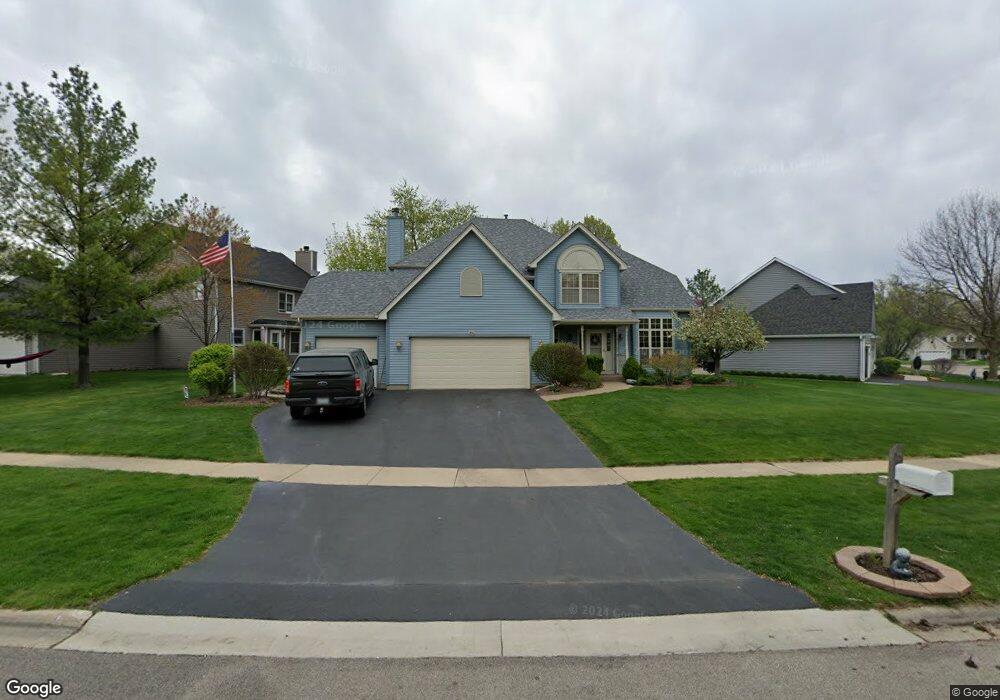
206 Andrew Ln North Aurora, IL 60542
Estimated Value: $433,565 - $497,000
4
Beds
--
Bath
2,279
Sq Ft
$204/Sq Ft
Est. Value
About This Home
This home is located at 206 Andrew Ln, North Aurora, IL 60542 and is currently estimated at $464,891, approximately $203 per square foot. 206 Andrew Ln is a home located in Kane County with nearby schools including Schneider Elementary School, Herget Middle School, and West Aurora High School.
Ownership History
Date
Name
Owned For
Owner Type
Purchase Details
Closed on
Jun 10, 2024
Sold by
Symmers Michael and Symmers Theresa
Bought by
Symmers Family Revocable Trust and Symmers
Current Estimated Value
Purchase Details
Closed on
Jun 28, 1996
Sold by
Terrence Lavery Builders Inc
Bought by
Symmers Michael and Symmers Theresa
Home Financials for this Owner
Home Financials are based on the most recent Mortgage that was taken out on this home.
Original Mortgage
$130,000
Interest Rate
8.09%
Create a Home Valuation Report for This Property
The Home Valuation Report is an in-depth analysis detailing your home's value as well as a comparison with similar homes in the area
Home Values in the Area
Average Home Value in this Area
Purchase History
| Date | Buyer | Sale Price | Title Company |
|---|---|---|---|
| Symmers Family Revocable Trust | -- | None Listed On Document | |
| Symmers Michael | $210,000 | Chicago Title Insurance Co |
Source: Public Records
Mortgage History
| Date | Status | Borrower | Loan Amount |
|---|---|---|---|
| Previous Owner | Symmers Michael | $130,000 |
Source: Public Records
Tax History
| Year | Tax Paid | Tax Assessment Tax Assessment Total Assessment is a certain percentage of the fair market value that is determined by local assessors to be the total taxable value of land and additions on the property. | Land | Improvement |
|---|---|---|---|---|
| 2024 | $8,560 | $129,879 | $21,184 | $108,695 |
| 2023 | $8,290 | $117,879 | $19,227 | $98,652 |
| 2022 | $7,973 | $107,482 | $17,969 | $89,513 |
| 2021 | $7,731 | $101,937 | $17,042 | $84,895 |
| 2020 | $7,696 | $99,977 | $16,714 | $83,263 |
| 2019 | $7,767 | $96,437 | $16,122 | $80,315 |
| 2018 | $7,685 | $92,764 | $15,508 | $77,256 |
| 2017 | $7,616 | $89,705 | $14,997 | $74,708 |
| 2016 | $7,586 | $87,092 | $14,560 | $72,532 |
| 2015 | -- | $85,108 | $14,228 | $70,880 |
| 2014 | -- | $82,429 | $13,780 | $68,649 |
| 2013 | -- | $84,199 | $16,889 | $67,310 |
Source: Public Records
Map
Nearby Homes
- 28 Oak Creek Ct
- 702 Pinehurst Dr
- 31 Oak Creek Ct
- 210 Linn Ct Unit D
- 242 Sussex Ln
- 116 Briar Ln Unit 2
- 823 Columbia Cir
- 77 Johnson Ct Unit 1
- 221 Sauk Dr
- 1692 Sauk Dr
- 1687 Sauk Dr
- 1011 Napa Ln
- 10 S Grant St
- 2S924 Shagbark Dr
- 3020 Abbey Cir
- 3075 Mesa Ln
- 3003 Abbey Cir
- 3005 Abbey Cir
- 3018 Abbey Cir
- 3026 Abbey Cir
Your Personal Tour Guide
Ask me questions while you tour the home.