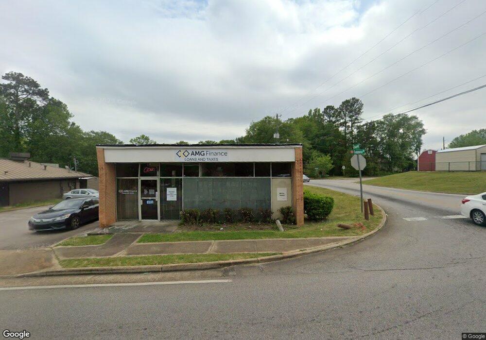
206 Commerce Ave Lagrange, GA 30241
Studio
1
Bath
2,436
Sq Ft
12,197
Sq Ft Lot
About This Home
This home is located at 206 Commerce Ave, Lagrange, GA 30241. 206 Commerce Ave is a home located in Troup County with nearby schools including Franklin Forest Elementary School, Hollis Hand Elementary School, and Ethel W. Kight Elementary School.
Ownership History
Date
Name
Owned For
Owner Type
Purchase Details
Closed on
Aug 2, 1991
Sold by
Liberty National Life Ins Co
Bought by
Liberty National Life Ins
Purchase Details
Closed on
Feb 8, 1991
Bought by
Liberty National Life Ins Co
Purchase Details
Closed on
Apr 1, 1987
Purchase Details
Closed on
Jan 1, 1967
Create a Home Valuation Report for This Property
The Home Valuation Report is an in-depth analysis detailing your home's value as well as a comparison with similar homes in the area
Purchase History
| Date | Buyer | Sale Price | Title Company |
|---|---|---|---|
| Liberty National Life Ins | -- | -- | |
| Liberty National Life Ins Co | -- | -- | |
| -- | -- | -- | |
| -- | -- | -- |
Source: Public Records
Tax History
| Year | Tax Paid | Tax Assessment Tax Assessment Total Assessment is a certain percentage of the fair market value that is determined by local assessors to be the total taxable value of land and additions on the property. | Land | Improvement |
|---|---|---|---|---|
| 2025 | $3,895 | $142,800 | $56,000 | $86,800 |
| 2024 | $3,895 | $142,800 | $56,000 | $86,800 |
| 2023 | $3,720 | $136,400 | $56,000 | $80,400 |
| 2022 | $3,807 | $136,400 | $56,000 | $80,400 |
| 2021 | $2,707 | $89,760 | $39,200 | $50,560 |
| 2020 | $2,707 | $89,760 | $39,200 | $50,560 |
| 2019 | $2,841 | $94,200 | $39,200 | $55,000 |
| 2018 | $2,841 | $94,200 | $39,200 | $55,000 |
| 2017 | $2,841 | $94,200 | $39,200 | $55,000 |
| 2016 | $2,078 | $68,908 | $25,200 | $43,708 |
| 2015 | $2,082 | $68,908 | $25,200 | $43,708 |
| 2014 | $1,959 | $64,728 | $36,800 | $27,928 |
| 2013 | -- | $64,728 | $36,800 | $27,928 |
Source: Public Records
Map
Nearby Homes
- 706 N Harlem Cir
- 131 Foch St
- 616 S Harlem Cir
- 324 Park Hill Dr
- 335 Laurel Ln
- 202 Park Hill Dr
- 203 Bonaventure Dr
- 301 E Bacon St
- 121 de Groat St
- 224 Rutland Cir
- 0 Ridley Ave Unit 10550104
- 609 Ridley Ave
- 707 Ridley Ave
- 611 Ridley Ave
- 615 Ridley Ave
- 709 Ridley Ave
- 622 Arthur St
- 118 Highland Ave
- 172 Merrybrook Dr
- 219 Banks St
- 517 Horace King St
- 704 N Harlem Cir
- 515 Horace King St
- 120 Oak Ln
- 513 Horace King St
- 708 N Harlem Cir
- 141 lot 14 Diana Ct
- 0 Commerce Ave Unit 3248536
- 511 Horace King St
- 508 Horace King St
- 710 N Harlem Cir
- 701 N Harlem Cir
- 118 Oak Ln
- 509 Horace King St
- N N Harlem Cir
- 703 N Harlem Cir
- 114 Oak Ln
- 507 Horace King St
- 138 Commerce Ave
- 504 Horace King St
Your Personal Tour Guide
Ask me questions while you tour the home.