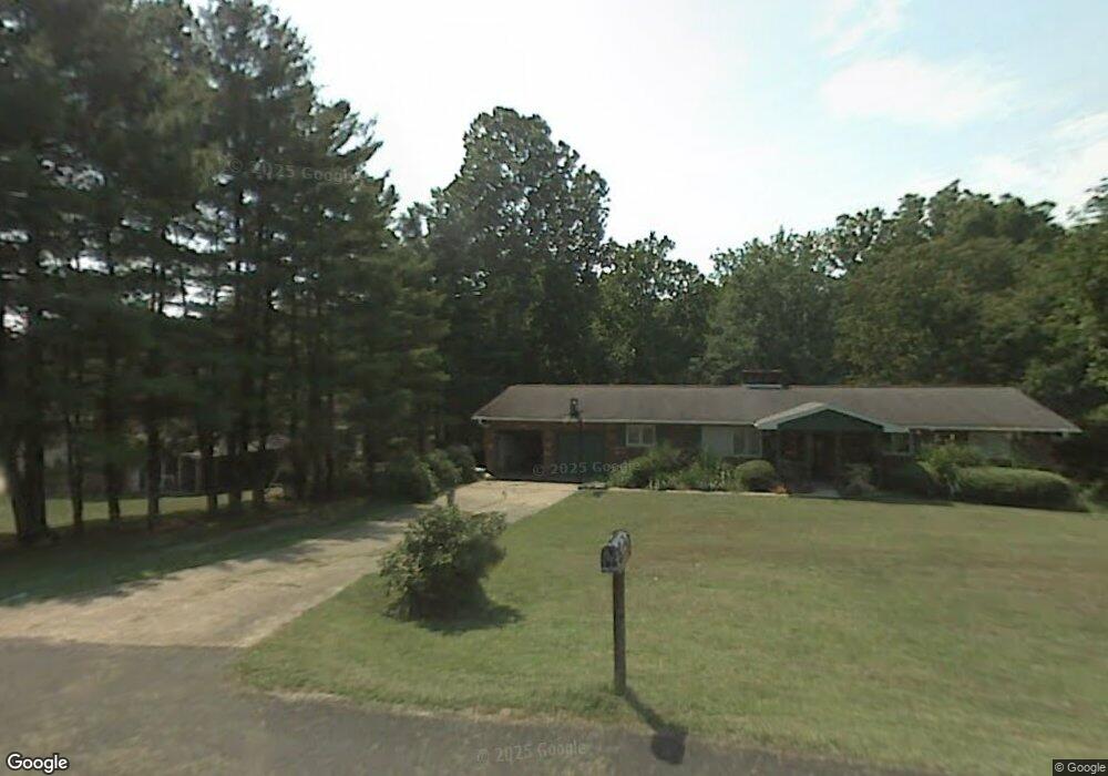
206 Forrest Rd Hurricane, WV 25526
Estimated Value: $378,000 - $436,000
4
Beds
3
Baths
2,760
Sq Ft
$148/Sq Ft
Est. Value
About This Home
This home is located at 206 Forrest Rd, Hurricane, WV 25526 and is currently estimated at $408,668, approximately $148 per square foot. 206 Forrest Rd is a home located in Putnam County with nearby schools including Calvary Baptist Academy.
Ownership History
Date
Name
Owned For
Owner Type
Purchase Details
Closed on
Feb 17, 2016
Sold by
Powell James C and Powell Karay S
Bought by
Romanko David Michael and Romanko Tamara Dawn
Current Estimated Value
Purchase Details
Closed on
Nov 9, 2010
Sold by
Smith Susan K and Williams Susan K
Bought by
Powell James C and Powell Karay S
Home Financials for this Owner
Home Financials are based on the most recent Mortgage that was taken out on this home.
Original Mortgage
$80,000
Interest Rate
4.3%
Mortgage Type
Purchase Money Mortgage
Create a Home Valuation Report for This Property
The Home Valuation Report is an in-depth analysis detailing your home's value as well as a comparison with similar homes in the area
Home Values in the Area
Average Home Value in this Area
Purchase History
| Date | Buyer | Sale Price | Title Company |
|---|---|---|---|
| Romanko David Michael | -- | None Available | |
| Powell James C | $195,000 | -- |
Source: Public Records
Mortgage History
| Date | Status | Borrower | Loan Amount |
|---|---|---|---|
| Previous Owner | Powell James C | $80,000 |
Source: Public Records
Tax History
| Year | Tax Paid | Tax Assessment Tax Assessment Total Assessment is a certain percentage of the fair market value that is determined by local assessors to be the total taxable value of land and additions on the property. | Land | Improvement |
|---|---|---|---|---|
| 2025 | $2,204 | $174,360 | $22,200 | $152,160 |
| 2024 | $2,204 | $156,540 | $22,200 | $134,340 |
| 2023 | $1,764 | $151,560 | $21,540 | $130,020 |
| 2022 | $1,810 | $150,180 | $22,020 | $128,160 |
| 2021 | $1,980 | $163,500 | $22,020 | $141,480 |
| 2020 | $1,956 | $161,700 | $22,020 | $139,680 |
| 2019 | $1,872 | $152,460 | $22,020 | $130,440 |
| 2018 | $1,778 | $144,420 | $22,020 | $122,400 |
| 2017 | $1,787 | $144,000 | $22,020 | $121,980 |
| 2016 | $1,720 | $137,880 | $22,020 | $115,860 |
| 2015 | $1,539 | $132,960 | $22,020 | $110,940 |
| 2014 | $1,539 | $122,460 | $28,920 | $93,540 |
Source: Public Records
Map
Nearby Homes
- 104 Mulberry Dr
- 6 Royal Oak Ct
- 539 Edgewood Rd
- 601 Ridgemont Rd
- 123 Sunnybrook Dr
- 3570 Teays Valley Rd
- 327 Northridge Dr
- 1051 Crestmont Rd
- 322 Plantation Dr
- 4 Greenbrier Ave
- 62 Muirfield Dr
- 293 Cow Creek Rd
- 102 Loraine Way
- 202 Pleasant View Dr
- 1140 Hickory Mills Rd
- 604 Overlook Dr
- 312 Lower Overlook Dr
- 3135 Virginia Ave
- 9000-9001 Claymont Cir
- 3988 Pinnacle View Rd
- 115 Sterling Dr
- 208 Forrest Rd
- 119 Sterling Dr
- 11 Sterling Dr
- 205 Forrest Rd
- 216 Forrest Rd
- 121 Sterling Dr
- 111 Sterling Dr
- 118 Sterling Dr
- 122 Sterling Dr
- 215 Forrest Rd
- 116 Sterling Dr
- 269 Forrest Rd
- 19 Meadow Brook Cir
- 114 Sterling Dr
- 220 Forrest Rd
- 17 Meadow Brook Cir
- 17 Meadow Brook Cir
- 104 Sterling Dr
- 107 Sterling Dr
Your Personal Tour Guide
Ask me questions while you tour the home.