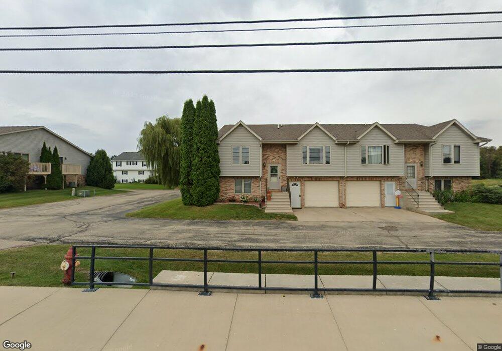
206 Michael Dr Unit B Iron Ridge, WI 53035
Estimated Value: $266,000 - $353,000
Studio
--
Bath
--
Sq Ft
9,409
Sq Ft Lot
About This Home
This home is located at 206 Michael Dr Unit B, Iron Ridge, WI 53035 and is currently estimated at $297,915. 206 Michael Dr Unit B is a home located in Dodge County with nearby schools including Horicon Elementary School, Horicon High School, and St. Matthew Lutheran School.
Ownership History
Date
Name
Owned For
Owner Type
Purchase Details
Closed on
Apr 16, 2024
Sold by
Kurth Wallace E and Kurth Mary E
Bought by
Kurth Mary E
Current Estimated Value
Create a Home Valuation Report for This Property
The Home Valuation Report is an in-depth analysis detailing your home's value as well as a comparison with similar homes in the area
Purchase History
| Date | Buyer | Sale Price | Title Company |
|---|---|---|---|
| Kurth Mary E | -- | None Listed On Document |
Source: Public Records
Tax History
| Year | Tax Paid | Tax Assessment Tax Assessment Total Assessment is a certain percentage of the fair market value that is determined by local assessors to be the total taxable value of land and additions on the property. | Land | Improvement |
|---|---|---|---|---|
| 2025 | $2,850 | $148,200 | $35,000 | $113,200 |
| 2024 | $2,750 | $148,200 | $35,000 | $113,200 |
| 2023 | $2,686 | $148,200 | $35,000 | $113,200 |
| 2022 | $2,656 | $148,200 | $35,000 | $113,200 |
| 2021 | $2,566 | $148,200 | $35,000 | $113,200 |
| 2020 | $2,802 | $148,200 | $35,000 | $113,200 |
| 2019 | $2,633 | $148,200 | $35,000 | $113,200 |
| 2018 | $2,668 | $148,200 | $35,000 | $113,200 |
| 2017 | $2,534 | $148,200 | $35,000 | $113,200 |
| 2016 | $2,491 | $148,200 | $35,000 | $113,200 |
| 2015 | $2,476 | $148,200 | $35,000 | $113,200 |
| 2014 | $2,806 | $148,200 | $35,000 | $113,200 |
Source: Public Records
Map
Nearby Homes
- 233 W Pleasant St
- 234 Watertower Cir
- N5413 County Rd S
- Lot 29 Weber View Dr
- N4973 Lake Dr
- N4583 Hickory Rd
- N5968 County Road P
- W4011 Hickory Rd
- W3730 Decora Rd
- 4301 W State Road 33 Rd
- 143 N Ridge St
- 109 S Lake St
- 127 S Lake St
- 244 S Ridge St
- 304 S Lake St
- Lt1 Lilly Rd
- Lt1 W Horseshoe Rd
- N4554 Lakeview Rd
- N4985 Arrowhead Trail
- N4958 Arrowhead Trail
- 206 Michael Dr Unit A
- 208 Michael Dr
- 231 W Pleasant St
- 201 Michael Dr
- 225 W Pleasant St
- 227 W Pleasant St
- 229 W Pleasant St
- 210 Michael Dr
- 239 W Pleasant St
- 237 W Pleasant St
- 235 W Pleasant St
- 202 Michael Dr
- 221 W Pleasant St
- 108 Westgate Dr
- 212 Michael Dr
- 102 Westgate Dr
- 102 Westgate Dr
- 102 Westgate Dr Unit 104
- 205 Michael Dr
- 200 Michael Dr
Your Personal Tour Guide
Ask me questions while you tour the home.