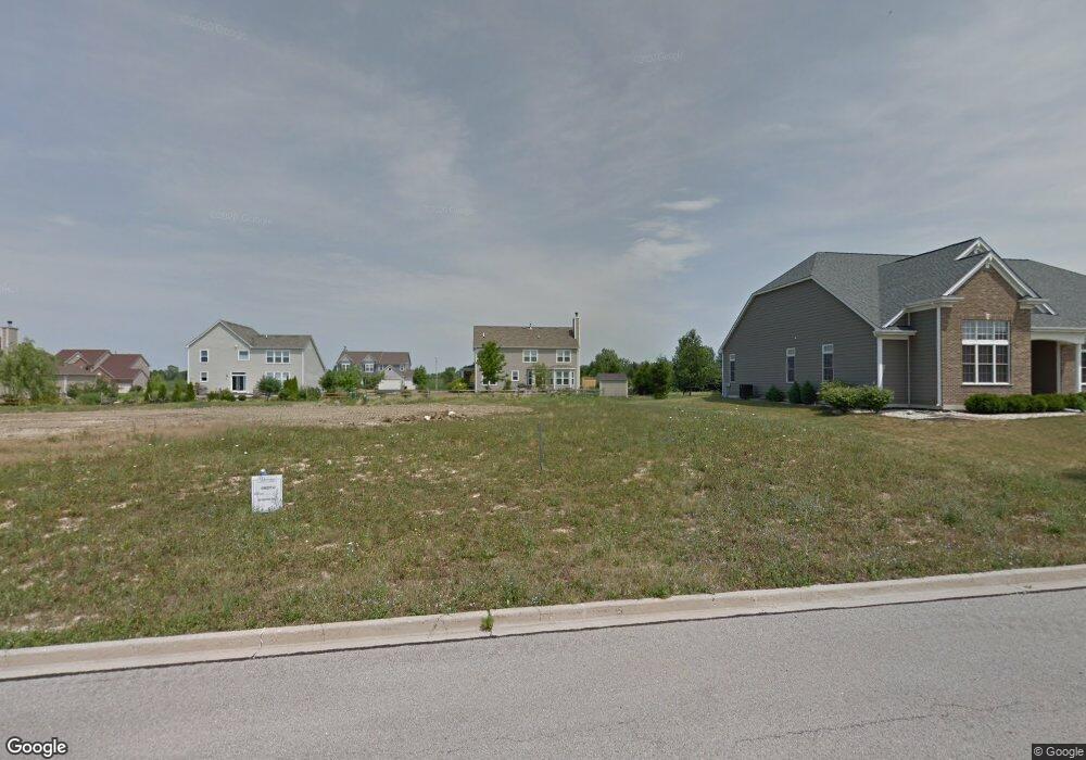
2060 Bartram Rd North Aurora, IL 60542
Nelson Lake NeighborhoodEstimated Value: $498,000 - $582,000
About This Home
This home is located at 2060 Bartram Rd, North Aurora, IL 60542 and is currently estimated at $540,259, approximately $263 per square foot. 2060 Bartram Rd is a home located in Kane County with nearby schools including Fearn Elementary School, Herget Middle School, and West Aurora High School.
Ownership History
We collect this data history from publicly available records. To have your information removed, we recommend requesting removal directly through your county’s website.
Purchase Details
Purchase Details
Home Financials for this Owner
Home Financials are based on the most recent Mortgage that was taken out on this home.Purchase Details
Purchase Details
Purchase Details
Purchase Details
Home Values in the Area
Average Home Value in this Area
Purchase History
We collect this data history from publicly available records. To have your information removed, we recommend requesting removal directly through your county’s website.
| Date | Buyer | Sale Price | Title Company |
|---|---|---|---|
| -- | None Available | ||
| $302,000 | Chicago Title Insurance Co | ||
| $1,326,000 | Chicago Title Insurance Co | ||
| -- | None Available | ||
| -- | None Available | ||
| $8,160,000 | Chicago Title Insurance Comp |
Mortgage History
We collect this data history from publicly available records. To have your information removed, we recommend requesting removal directly through your county’s website.
| Date | Status | Borrower | Loan Amount |
|---|---|---|---|
| Open | $241,250 | ||
| Closed | $0 |
Tax History
We collect this data history from publicly available records. To have your information removed, we recommend requesting removal directly through your county’s website.
| Year | Tax Paid | Tax Assessment Tax Assessment Total Assessment is a certain percentage of the fair market value that is determined by local assessors to be the total taxable value of land and additions on the property. | Land | Improvement |
|---|---|---|---|---|
| 2024 | $10,191 | $151,306 | $23,703 | $127,603 |
| 2023 | $10,028 | $137,326 | $21,513 | $115,813 |
| 2022 | $8,062 | $128,342 | $20,106 | $108,236 |
| 2021 | $8,283 | $121,721 | $19,069 | $102,652 |
| 2020 | $8,403 | $119,381 | $18,702 | $100,679 |
| 2019 | $8,797 | $115,155 | $18,040 | $97,115 |
| 2018 | $9,098 | $110,769 | $17,353 | $93,416 |
| 2017 | $9,392 | $107,117 | $16,781 | $90,336 |
| 2016 | $9,335 | $103,997 | $16,292 | $87,705 |
| 2015 | -- | $101,629 | $15,921 | $85,708 |
| 2014 | -- | $75,538 | $8,715 | $66,823 |
| 2013 | -- | $8,545 | $8,545 | $0 |
Map
- 3S177 Deerpath Rd
- 924 Fair Meadow St
- 2121 Westover Rd
- 925 Fair Meadow St
- 1792 Breton Ave
- 867 Fair Meadow Ct
- 1791 Breton Ave
- 1799 Breton Ave
- 1631 Patterson Ave
- 858 Hathaway Ct
- 1679 Breton Ave
- 1590 Patterson Ave
- 496 Bennett Dr
- 2S720 Nelson Lake Rd
- 483 Glover Dr
- 2518 Imgrund Rd Unit 3
- 1597 W Hartsburg Ln
- 990 Wilkinson Ln
- 1502 Hartsburg Ln Unit 1
- 4s072 Deerpath Rd
- 2052 Bartram Rd
- 2068 Bartram Rd
- 2030 Sandell Ln
- 2038 Sandell Ln
- 2044 Bartram Rd
- 2076 Bartram Rd
- 2061 Bartram Rd
- 2069 Bartram Rd
- 2053 Bartram Rd
- 2046 Sandell Ln
- 2077 Bartram Rd
- 2084 Bartram Rd
- 2036 Bartram Rd
- 974 Brandon Ct
- 2095 Rockwood Ln
- 2054 Sandell Ln
- 3023 Sandell Ln
- 2023 Sandell Ln
- 2037 Bartram Rd
- 2031 Sandell Ln
Ask me questions while you tour the home.