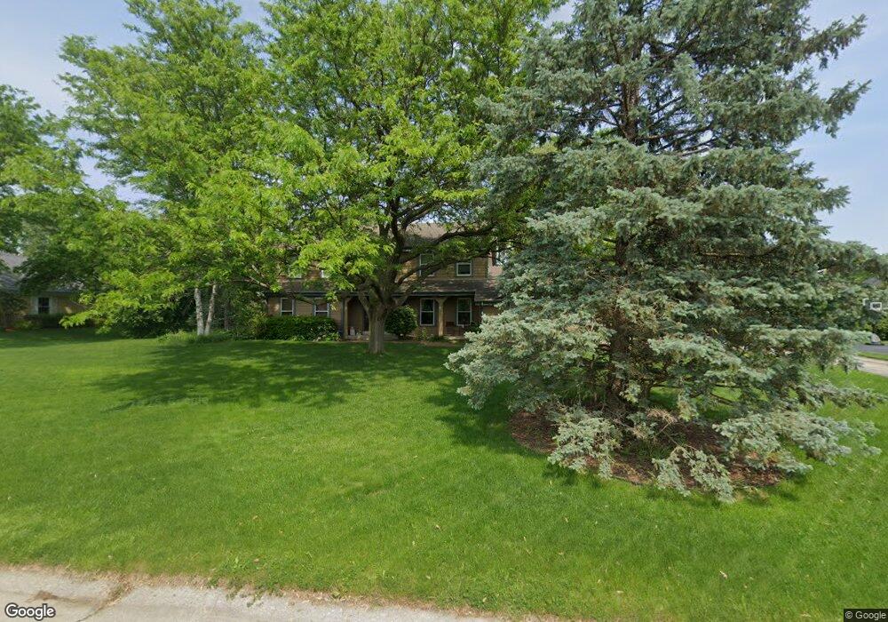
2060 Possum Ct Brookfield, WI 53045
Brookfield AreaEstimated Value: $592,000 - $613,000
About This Home
This home is located at 2060 Possum Ct, Brookfield, WI 53045 and is currently estimated at $598,311, approximately $253 per square foot. 2060 Possum Ct is a home located in Waukesha County with nearby schools including Brookfield Elementary School, Wisconsin Hills Middle School, and Brookfield Central High School.
Ownership History
We collect this data history from publicly available records. To have your information removed, we recommend requesting removal directly through your county’s website.
Purchase Details
Home Financials for this Owner
Home Financials are based on the most recent Mortgage that was taken out on this home.Home Values in the Area
Average Home Value in this Area
Purchase History
We collect this data history from publicly available records. To have your information removed, we recommend requesting removal directly through your county’s website.
| Date | Buyer | Sale Price | Title Company |
|---|---|---|---|
| $305,000 | None Available |
Mortgage History
We collect this data history from publicly available records. To have your information removed, we recommend requesting removal directly through your county’s website.
| Date | Status | Borrower | Loan Amount |
|---|---|---|---|
| Open | $284,567 |
Tax History
We collect this data history from publicly available records. To have your information removed, we recommend requesting removal directly through your county’s website.
| Year | Tax Paid | Tax Assessment Tax Assessment Total Assessment is a certain percentage of the fair market value that is determined by local assessors to be the total taxable value of land and additions on the property. | Land | Improvement |
|---|---|---|---|---|
| 2025 | $4,870 | $426,200 | $135,000 | $291,200 |
| 2024 | $4,726 | $426,200 | $135,000 | $291,200 |
| 2023 | $4,724 | $426,200 | $135,000 | $291,200 |
| 2022 | $4,933 | $347,500 | $130,000 | $217,500 |
| 2021 | $5,222 | $347,500 | $130,000 | $217,500 |
| 2020 | $5,456 | $347,500 | $130,000 | $217,500 |
| 2019 | $5,118 | $339,900 | $130,000 | $209,900 |
| 2018 | $5,111 | $329,600 | $120,000 | $209,600 |
| 2017 | $5,117 | $329,600 | $120,000 | $209,600 |
| 2016 | $5,191 | $329,600 | $120,000 | $209,600 |
| 2015 | $5,163 | $329,600 | $120,000 | $209,600 |
| 2014 | $5,356 | $329,600 | $120,000 | $209,600 |
| 2013 | $5,356 | $329,600 | $120,000 | $209,600 |
Map
- 21300 Astolat Dr
- 2270 Vincent Dr
- 21975 W North Ave
- 2470 Lionel Ct
- 21700 Ann Rita Dr
- 2505 Almesbury Ave
- 21180 Mary Lynn Dr
- 21775 Gaywood Dr
- N22W22227 Meadowood Ct
- 21660 Mayrose Blvd
- 2005 Derrin Ln
- 20750 Lincolnshire Ct
- 2820 Norman Dr
- 21100 Chancery Ct
- 19755 Brian Dr
- N24W22526 Beechwood Ln
- Lt118 Berwick Ct
- Lt120 Berwick Ct
- Lt116 Berwick Ct
- 1340 Barrington Woods Dr
- 2030 Possum Ct
- 2100 Possum Ct
- 2025 Carrington Dr
- 21180 Stratford Ct
- 21300 Woodchuck Ln
- 21150 Stratford Ct
- 2085 Possum Ct
- 2055 Carrington Dr
- 2000 Beaver Ln
- 2130 Possum Ct
- 2115 Possum Ct
- 21165 Stratford Ct
- 21350 Woodchuck Ln
- 2075 Carrington Dr
- 21330 Partridge Ct
- 1970 Beaver Ln
- 2050 Carrington Dr
- 21090 Carrington Dr
- 21135 Stratford Ct
- 21345 Partridge Ct
Ask me questions while you tour the home.