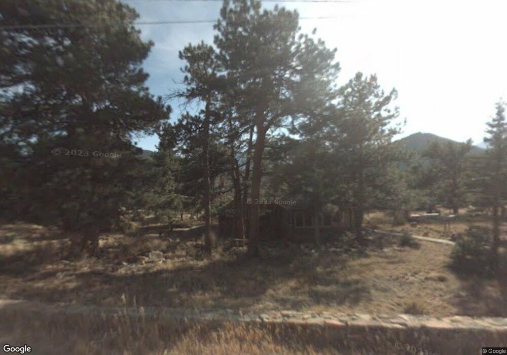
2060 Upper High Dr Estes Park, CO 80517
Estimated Value: $982,000 - $1,492,000
3
Beds
2
Baths
2,275
Sq Ft
$512/Sq Ft
Est. Value
About This Home
This home is located at 2060 Upper High Dr, Estes Park, CO 80517 and is currently estimated at $1,165,253, approximately $512 per square foot. 2060 Upper High Dr is a home located in Larimer County with nearby schools including Estes Park K-5 School, Estes Park Middle School, and Estes Park High School.
Ownership History
Date
Name
Owned For
Owner Type
Purchase Details
Closed on
Mar 2, 2018
Sold by
Stults Michael
Bought by
Stults Michael G and Stults Peggy V
Current Estimated Value
Purchase Details
Closed on
Oct 9, 1984
Sold by
Stults Martha
Bought by
Stults Michael G and Stults Barry M
Purchase Details
Closed on
Feb 19, 1976
Sold by
Colorado Natinoal Bank Of Denver Truste
Bought by
Macneill Robert and Stults Marhta
Create a Home Valuation Report for This Property
The Home Valuation Report is an in-depth analysis detailing your home's value as well as a comparison with similar homes in the area
Home Values in the Area
Average Home Value in this Area
Purchase History
We collect this data history from publicly available records. To have your information removed, we recommend requesting removal directly through your county’s website.
| Date | Buyer | Sale Price | Title Company |
|---|---|---|---|
| Stults Michael G | -- | None Available | |
| Stults Michael G | -- | -- | |
| Macneill Robert | -- | -- |
Source: Public Records
Tax History
| Year | Tax Paid | Tax Assessment Tax Assessment Total Assessment is a certain percentage of the fair market value that is determined by local assessors to be the total taxable value of land and additions on the property. | Land | Improvement |
|---|---|---|---|---|
| 2025 | $5,531 | $61,719 | $13,438 | $48,281 |
| 2024 | $4,997 | $74,450 | $14,405 | $60,045 |
| 2022 | $4,089 | $54,857 | $11,885 | $42,972 |
| 2021 | $4,198 | $56,435 | $12,227 | $44,208 |
| 2020 | $5,903 | $78,186 | $16,803 | $61,383 |
| 2019 | $5,859 | $78,186 | $16,803 | $61,383 |
| 2018 | $5,031 | $65,066 | $16,920 | $48,146 |
| 2017 | $5,059 | $65,066 | $16,920 | $48,146 |
| 2016 | $4,413 | $58,777 | $18,706 | $40,071 |
| 2015 | $4,358 | $58,780 | $18,710 | $40,070 |
| 2014 | $4,222 | $58,530 | $16,920 | $41,610 |
Source: Public Records
Map
Nearby Homes
- 1945 Tanager Rd
- 710 Tanager Rd
- 1841 High Dr
- 1731 High Dr
- 725 Upper Larkspur Ln
- 1611 High Dr
- 811 Larkspur Rd
- 1565 Highway 66 Unit 31
- 1565 Highway 66 Unit 33
- 1565 Highway 66 Unit 27
- 1565 Highway 66 Unit 49
- 1565 Highway 66 Unit 20
- 1565 Highway 66 Unit 30
- 1565 Highway 66 Unit 28
- 1401 High Dr
- 55 Odin Way
- 56 Odin Way
- 1264 Range View Rd
- 27 Freyja Ln
- 1475 Lower Broadview Rd
- 2501 High Dr
- 2050 Penstemon Dr
- 2051 Upper High Dr
- 2085 Siskin Dr
- 2075 Middle High Dr
- 2004 Penstemon Dr
- 2110 Penstemon Dr
- 2035 Middle High Dr
- 1995 High Dr
- 2120 Upper High Dr
- 0 Upper High Dr Unit 379874
- 0 Upper High Dr Unit 7847976
- 0 Upper High Dr Unit 905600
- 0 Upper High Dr Unit 770156
- 2041 High Dr
- 2180 Gaillardia Dr
- 2133 High Dr
- 2061 High Dr
- 575 Tanager Rd
- 2071 Penstemon Dr
Your Personal Tour Guide
Ask me questions while you tour the home.