2060 West Rd Williamson, GA 30292
Estimated Value: $415,000 - $516,000
3
Beds
2
Baths
1,740
Sq Ft
$263/Sq Ft
Est. Value
About This Home
This home is located at 2060 West Rd, Williamson, GA 30292 and is currently estimated at $457,694, approximately $263 per square foot. 2060 West Rd is a home with nearby schools including Pike County Primary School, Pike County Elementary School, and Pike County Middle School.
Ownership History
Date
Name
Owned For
Owner Type
Purchase Details
Closed on
Mar 28, 2014
Sold by
Lindsey David A
Bought by
Hester Scott Preston
Current Estimated Value
Home Financials for this Owner
Home Financials are based on the most recent Mortgage that was taken out on this home.
Original Mortgage
$25,000
Interest Rate
4.4%
Mortgage Type
New Conventional
Purchase Details
Closed on
May 17, 1996
Sold by
Clark H J
Bought by
Lindsey David A and Lindsey Wanda O
Create a Home Valuation Report for This Property
The Home Valuation Report is an in-depth analysis detailing your home's value as well as a comparison with similar homes in the area
Purchase History
| Date | Buyer | Sale Price | Title Company |
|---|---|---|---|
| Hester Scott Preston | $45,000 | -- | |
| Lindsey David A | $28,500 | -- |
Source: Public Records
Mortgage History
| Date | Status | Borrower | Loan Amount |
|---|---|---|---|
| Closed | Hester Scott Preston | $25,000 |
Source: Public Records
Tax History
| Year | Tax Paid | Tax Assessment Tax Assessment Total Assessment is a certain percentage of the fair market value that is determined by local assessors to be the total taxable value of land and additions on the property. | Land | Improvement |
|---|---|---|---|---|
| 2025 | $2,522 | $130,797 | $33,166 | $97,631 |
| 2024 | $2,643 | $153,324 | $54,776 | $98,548 |
| 2023 | $3,092 | $153,324 | $54,776 | $98,548 |
| 2022 | $1,956 | $103,280 | $42,136 | $61,144 |
| 2021 | $2,042 | $108,208 | $47,064 | $61,144 |
| 2020 | $2,063 | $108,208 | $47,064 | $61,144 |
| 2019 | $1,665 | $69,823 | $25,440 | $44,383 |
| 2018 | $1,664 | $69,823 | $25,440 | $44,383 |
| 2017 | $862 | $44,986 | $25,440 | $19,546 |
| 2016 | $1,087 | $34,194 | $25,440 | $8,754 |
| 2015 | $545 | $25,440 | $25,440 | $0 |
| 2014 | $782 | $25,440 | $25,440 | $0 |
| 2013 | -- | $25,440 | $25,440 | $0 |
Source: Public Records
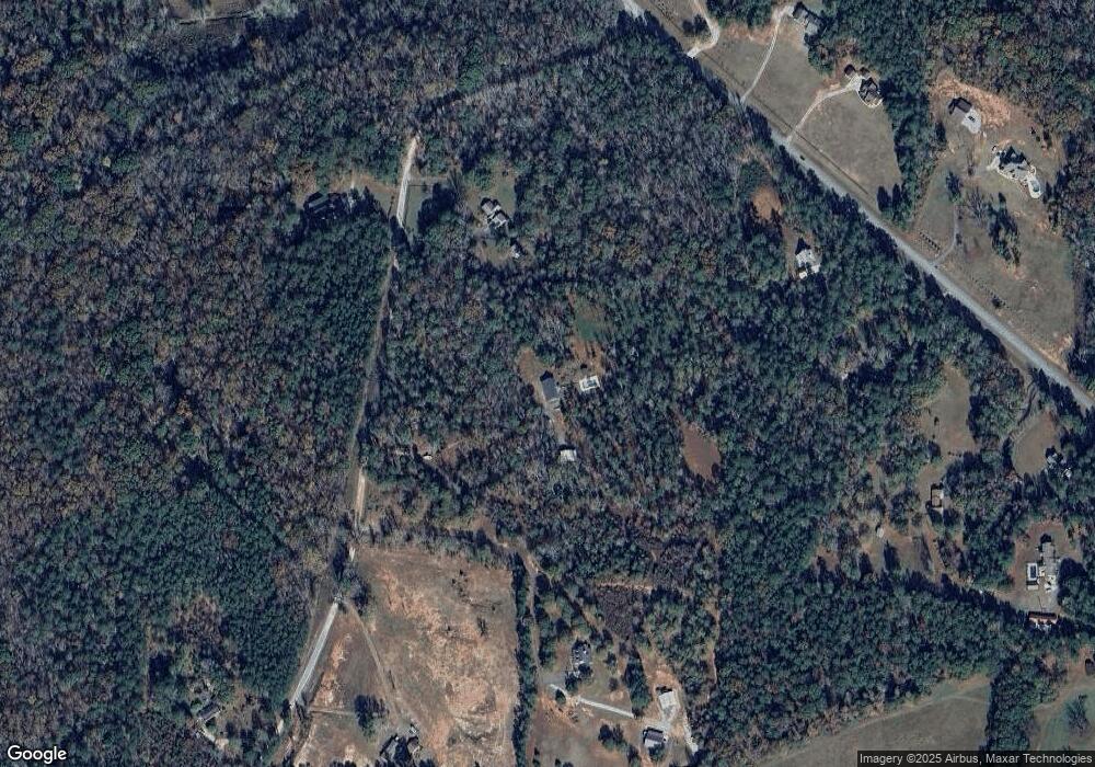
Map
Nearby Homes
- 2310 Hollonville Rd
- 4091 Hollonville Rd
- 0 West Rd Unit 10536330
- 0 West Rd Unit 10541322
- 2214 Turner Rd
- 3221 Hollonville Rd
- 41 Commanche Cir Unit LOT 55
- 65 Commanche Cir Unit LOT 56
- 1041 Traveler Ln Unit 50
- 708 Traveler Ln Unit LOT 54
- 16 Nelson Way Unit 38
- 2246 Concord Rd
- 4170 Hollonville Rd
- 227 Shady Ln
- 481 Turner Rd
- L25 Oxford Cir
- 1881 Beeks Rd
- 1815 Drew Allen Rd
- A-1 Reidsboro Rd
- 0 Maple Ln Unit LOT 87
- 2214 West Rd
- 2012 West Rd
- 1971 Hollonville Rd
- 1897 Hollonville Rd
- 1970 West Rd
- 2100 Hollonville Rd
- 2136 Hollonville Rd
- 1996 Hollonville Rd
- 1855 Hollonville Rd
- 1807 Hollonville Rd
- 0 Rockbridge Farm Rd Unit 20062069
- 0 Rockbridge Farm Rd Unit 5 8953833
- 0 Rockbridge Farm Rd Unit Lot 4 8833832
- 0 Rockbridge Farm Rd Unit Lot 5 8833770
- Lot 4 Rockbridge Farm Rd
- Lot 5 Rockbridge Farm Rd
- 1770 West Rd
- 2521 Hollonville Rd
- 219 Rockbridge Farm Rd
- 2374 Hollonville Rd
Your Personal Tour Guide
Ask me questions while you tour the home.