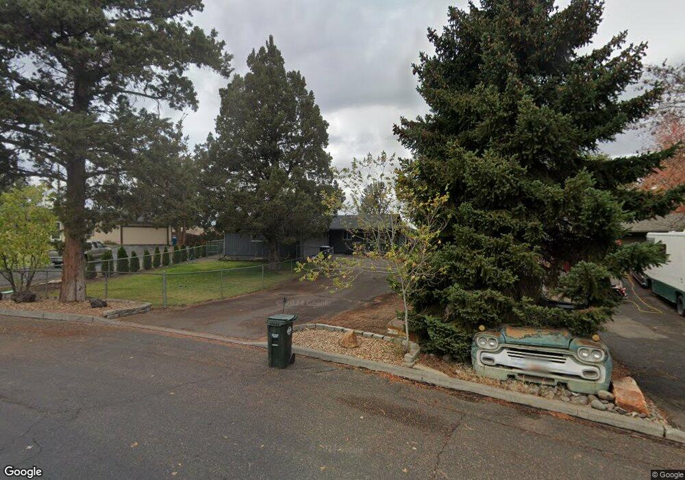
20630 Colt Ln Bend, OR 97701
Boyd Acres NeighborhoodEstimated Value: $449,000 - $513,628
3
Beds
2
Baths
1,293
Sq Ft
$381/Sq Ft
Est. Value
About This Home
This home is located at 20630 Colt Ln, Bend, OR 97701 and is currently estimated at $492,157, approximately $380 per square foot. 20630 Colt Ln is a home located in Deschutes County with nearby schools including Lava Ridge Elementary School, Sky View Middle School, and Mountain View Senior High School.
Ownership History
Date
Name
Owned For
Owner Type
Purchase Details
Closed on
Oct 5, 2020
Sold by
Shenk Charles E and Shenk Virginia M
Bought by
Shenk Brian
Current Estimated Value
Home Financials for this Owner
Home Financials are based on the most recent Mortgage that was taken out on this home.
Original Mortgage
$209,250
Outstanding Balance
$150,395
Interest Rate
2.9%
Mortgage Type
New Conventional
Estimated Equity
$341,762
Create a Home Valuation Report for This Property
The Home Valuation Report is an in-depth analysis detailing your home's value as well as a comparison with similar homes in the area
Home Values in the Area
Average Home Value in this Area
Purchase History
| Date | Buyer | Sale Price | Title Company |
|---|---|---|---|
| Shenk Brian | $350,000 | First American Title |
Source: Public Records
Mortgage History
| Date | Status | Borrower | Loan Amount |
|---|---|---|---|
| Open | Shenk Brian | $209,250 |
Source: Public Records
Tax History
| Year | Tax Paid | Tax Assessment Tax Assessment Total Assessment is a certain percentage of the fair market value that is determined by local assessors to be the total taxable value of land and additions on the property. | Land | Improvement |
|---|---|---|---|---|
| 2025 | $2,686 | $158,950 | -- | -- |
| 2024 | $2,584 | $154,330 | -- | -- |
| 2023 | $2,395 | $149,840 | $0 | $0 |
| 2022 | $2,235 | $141,250 | $0 | $0 |
| 2021 | $2,238 | $137,140 | $0 | $0 |
| 2020 | $2,124 | $137,140 | $0 | $0 |
| 2019 | $2,065 | $133,150 | $0 | $0 |
| 2018 | $2,006 | $129,280 | $0 | $0 |
| 2017 | $1,948 | $125,520 | $0 | $0 |
| 2016 | $1,857 | $121,870 | $0 | $0 |
| 2015 | $1,806 | $118,330 | $0 | $0 |
| 2014 | $1,753 | $114,890 | $0 | $0 |
Source: Public Records
Map
Nearby Homes
- 63702 Clausen Dr
- 63673 Boyd Acres Rd
- 63713 Hunters Cir
- 20648 Beaumont Dr
- 20777 My Longest Way Unit 48
- 20761 My Longest Way Unit 44
- 20753 My Longest Way Unit 42
- 20773 My Longest Way Unit 47
- 63742 Pavillion Place Unit 64
- 20709 Farenuff Place Unit 74
- 63741 Cascade Village Dr Unit 78
- 63752 Hunters Cir
- 63738 Cascade Village Dr Unit 81
- 63790 Ranch Village Dr Unit 14
- 20702 Beaumont Dr
- 63687 Ranch Village Dr Unit 40
- 63818 Ranch Village Dr Unit 7N
- 20726 Russell Dr
- 63704 Ranch Village Dr Unit 97
- 20739 NE Angora Ct
- 20634 Colt Ln
- 20626 Colt Ln
- 20624 Colt Ln
- 20633 Weatherby Ct
- 0 Colt Ln Unit 10055353
- 20631 Colt Ln
- 20640 Colt Ln
- 20637 Weatherby Ct
- 20641 Colt Ln
- 20622 Colt Ln
- 20634 Weatherby Ct
- 20629 NE Colt
- 20629 Colt Ln
- 20642 Weatherby Ct
- 63617 Hunters Cir
- 20638 Weatherby Ct
- 63634 NE Hunters
- 63634 Hunters Cir
- 20623 Colt Ln
- 63632 Hunters Cir
Your Personal Tour Guide
Ask me questions while you tour the home.