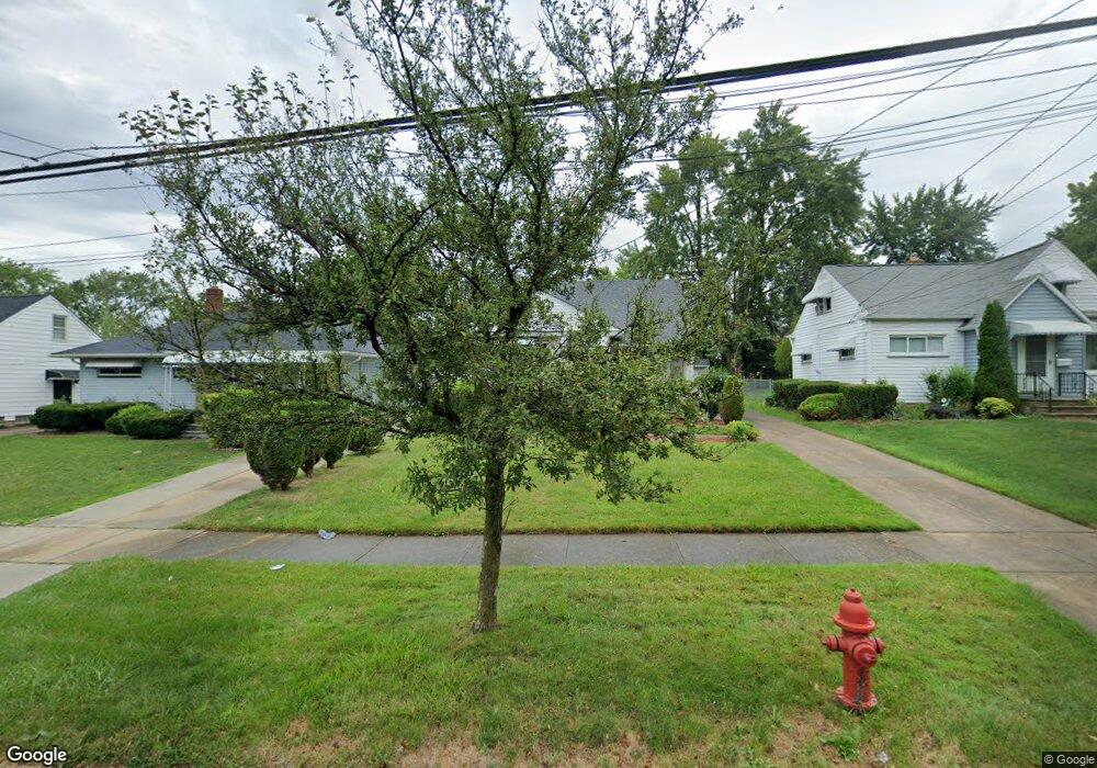
20643 Donny Brook Rd Maple Heights, OH 44137
Estimated Value: $132,000 - $149,000
3
Beds
1
Bath
1,368
Sq Ft
$103/Sq Ft
Est. Value
About This Home
This home is located at 20643 Donny Brook Rd, Maple Heights, OH 44137 and is currently estimated at $141,038, approximately $103 per square foot. 20643 Donny Brook Rd is a home located in Cuyahoga County with nearby schools including Abraham Lincoln Elementary School, Rockside/ J.F. Kennedy School, and Barack Obama School.
Ownership History
Date
Name
Owned For
Owner Type
Purchase Details
Closed on
May 26, 1987
Sold by
Penn Irene
Bought by
Smith Oddie L
Current Estimated Value
Purchase Details
Closed on
Feb 27, 1987
Sold by
Penn Allan
Bought by
Penn Irene
Purchase Details
Closed on
Mar 2, 1977
Sold by
Penn Allan and Penn Irene
Bought by
Penn Allan
Purchase Details
Closed on
Jan 1, 1975
Bought by
Penn Allan and Penn Irene
Create a Home Valuation Report for This Property
The Home Valuation Report is an in-depth analysis detailing your home's value as well as a comparison with similar homes in the area
Home Values in the Area
Average Home Value in this Area
Purchase History
We collect this data history from publicly available records. To have your information removed, we recommend requesting removal directly through your county’s website.
| Date | Buyer | Sale Price | Title Company |
|---|---|---|---|
| Smith Oddie L | $68,000 | -- | |
| Penn Irene | -- | -- | |
| Penn Allan | -- | -- | |
| Penn Allan | -- | -- |
Source: Public Records
Tax History
| Year | Tax Paid | Tax Assessment Tax Assessment Total Assessment is a certain percentage of the fair market value that is determined by local assessors to be the total taxable value of land and additions on the property. | Land | Improvement |
|---|---|---|---|---|
| 2025 | $3,527 | $44,100 | $8,015 | $36,085 |
| 2024 | $3,924 | $44,100 | $8,015 | $36,085 |
| 2023 | $3,007 | $28,880 | $5,250 | $23,630 |
| 2022 | $2,996 | $28,880 | $5,250 | $23,630 |
| 2021 | $3,199 | $28,880 | $5,250 | $23,630 |
| 2020 | $2,722 | $21,880 | $3,990 | $17,890 |
| 2019 | $2,707 | $62,500 | $11,400 | $51,100 |
| 2018 | $2,694 | $21,880 | $3,990 | $17,890 |
| 2017 | $2,728 | $21,700 | $3,990 | $17,710 |
| 2016 | $2,637 | $21,700 | $3,990 | $17,710 |
| 2015 | $6,475 | $21,700 | $3,990 | $17,710 |
| 2014 | $6,475 | $23,840 | $4,380 | $19,460 |
Source: Public Records
Map
Nearby Homes
- 20648 Donny Brook Rd
- 20732 Applegate Rd
- 339 Grand Blvd
- 419 Center Rd
- 54 Willard Ave
- 22 Natalie Rd
- 66 Hubbell Way
- 58 Hubbell Way
- 62 Hubbell Way
- 54 Hubbell Way
- 0 Hubbell Cir
- 61 Hubbell Way
- 57 Hubbell Way
- 20004 Libby Rd
- 21202 Gardenview Dr
- 20503 Mountville Dr
- 19513 Beverly Ave
- 19280 Stafford Ave
- 20111 Mountville Dr
- 19910 Mountville Dr
- 20647 Donny Brook Rd
- 20639 Donny Brook Rd
- 20651 Donny Brook Rd
- 20635 Donny Brook Rd
- 20635 Donnybrook Rd
- 20644 Applegate Rd
- 20648 Applegate Rd
- 20640 Applegate Rd
- 20631 Donny Brook Rd
- 20655 Donny Brook Rd
- 20652 Applegate Rd
- 20636 Applegate Rd
- 20627 Donny Brook Rd
- 20656 Applegate Rd
- 20632 Applegate Rd
- 20659 Donny Brook Rd
- 20627 Donnybrook Rd
- 20644 Donny Brook Rd
- 20640 Donny Brook Rd
- 20660 Applegate Rd
Your Personal Tour Guide
Ask me questions while you tour the home.