20665 N 53rd Ave Glendale, AZ 85308
Arrowhead NeighborhoodEstimated Value: $941,000 - $994,224
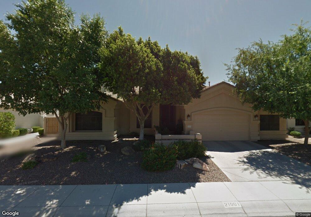
About This Home
This home is located at 20665 N 53rd Ave, Glendale, AZ 85308 and is currently estimated at $955,806, approximately $337 per square foot. 20665 N 53rd Ave is a home located in Maricopa County with nearby schools including Legend Springs Elementary School, Hillcrest Middle School, and Mountain Ridge High School.
Ownership History
We collect this data history from publicly available records. To have your information removed, we recommend requesting removal directly through your county’s website.
Purchase Details
Purchase Details
Purchase Details
Purchase Details
Purchase Details
Home Values in the Area
Average Home Value in this Area
Purchase History
We collect this data history from publicly available records. To have your information removed, we recommend requesting removal directly through your county’s website.
| Date | Buyer | Sale Price | Title Company |
|---|---|---|---|
| $948,500 | Sunbelt Title Agency | ||
| -- | -- | ||
| $580,000 | Title Alliance Professionals | ||
| -- | None Available | ||
| $236,225 | Security Title Agency |
Mortgage History
We collect this data history from publicly available records. To have your information removed, we recommend requesting removal directly through your county’s website.
| Date | Status | Borrower | Loan Amount |
|---|---|---|---|
| Previous Owner | $199,137 | ||
| Previous Owner | $75,000 | ||
| Previous Owner | $202,800 | ||
| Previous Owner | $115,000 | ||
| Previous Owner | $150,000 | ||
| Previous Owner | $100,000 |
Tax History
We collect this data history from publicly available records. To have your information removed, we recommend requesting removal directly through your county’s website.
| Year | Tax Paid | Tax Assessment Tax Assessment Total Assessment is a certain percentage of the fair market value that is determined by local assessors to be the total taxable value of land and additions on the property. | Land | Improvement |
|---|---|---|---|---|
| 2025 | $4,860 | $56,693 | ||
| 2024 | $4,772 | $53,993 | ||
| 2023 | $4,772 | $66,280 | $13,250 | $53,030 |
| 2022 | $4,641 | $50,910 | $10,180 | $40,730 |
| 2021 | $4,820 | $49,430 | $9,880 | $39,550 |
| 2020 | $4,760 | $44,420 | $8,880 | $35,540 |
| 2019 | $4,642 | $42,380 | $8,470 | $33,910 |
| 2018 | $4,682 | $42,310 | $8,460 | $33,850 |
| 2017 | $4,544 | $41,220 | $8,240 | $32,980 |
| 2016 | $4,304 | $40,730 | $8,140 | $32,590 |
| 2015 | $3,937 | $42,160 | $8,430 | $33,730 |
Map
- 21004 N 53rd Ave
- 5329 W Rose Garden Ln
- 5452 W Mohawk Ln
- 5338 W Tonopah Dr
- 20617 N 56th Dr
- 5474 W Melinda Ln
- 5677 W Monona Dr
- 5681 W Abraham Ln
- 5812 W Del Lago Cir
- 5516 W Melinda Ln Unit 45
- 5516 W Melinda Ln
- 4218 W Beardsley Rd
- 5840 W Abraham Ln
- 5041 W Escuda Dr
- 20709 N 59th Dr
- 20038 N 49th Ln
- 4967 W Escuda Dr
- 20041 N 49th Dr
- 5960 W Lone Cactus Dr
- 20628 N 61st Ave
- 20659 N 53rd Ave
- 20653 N 53rd Ave
- 5311 W Rose Garden Ln
- 20647 N 53rd Ave
- 21007 N 53rd Ave
- 5317 W Rose Garden Ln
- 20641 N 53rd Ave
- 21015 N 53rd Ave Unit 6A
- 20646 N 53rd Ave
- 21010 N 53rd Ave
- 21020 N 53rd Ave
- 5318 W Rose Garden Ln
- 5242 W Rose Garden Ln
- 20640 N 53rd Ave
- 20635 N 53rd Ave
- 21021 N 53rd Ave
- 5236 W Rose Garden Ln
- 5281 W Quail Ave
- 5323 W Rose Garden Ln
- 5324 W Rose Garden Ln
Ask me questions while you tour the home.