207 Colonel Burt Dr Benton, LA 71006
Dukedale-Vanceville NeighborhoodEstimated Value: $480,545 - $638,000
3
Beds
2
Baths
2,920
Sq Ft
$181/Sq Ft
Est. Value
About This Home
This home is located at 207 Colonel Burt Dr, Benton, LA 71006 and is currently estimated at $528,136, approximately $180 per square foot. 207 Colonel Burt Dr is a home with nearby schools including Kingston Elementary School, Benton Middle School, and Benton High School.
Ownership History
Date
Name
Owned For
Owner Type
Purchase Details
Closed on
Jan 31, 2007
Sold by
Bogle Pat and Bogle Tammy Joe
Bought by
Joyner Christopher Sean and Joyner Tiffany Legrand
Current Estimated Value
Home Financials for this Owner
Home Financials are based on the most recent Mortgage that was taken out on this home.
Original Mortgage
$200,000
Outstanding Balance
$115,158
Interest Rate
6.11%
Mortgage Type
Unknown
Estimated Equity
$412,978
Create a Home Valuation Report for This Property
The Home Valuation Report is an in-depth analysis detailing your home's value as well as a comparison with similar homes in the area
Home Values in the Area
Average Home Value in this Area
Purchase History
We collect this data history from publicly available records. To have your information removed, we recommend requesting removal directly through your county’s website.
| Date | Buyer | Sale Price | Title Company |
|---|---|---|---|
| Joyner Christopher Sean | $310,000 | None Available |
Source: Public Records
Mortgage History
We collect this data history from publicly available records. To have your information removed, we recommend requesting removal directly through your county’s website.
| Date | Status | Borrower | Loan Amount |
|---|---|---|---|
| Open | Joyner Christopher Sean | $200,000 |
Source: Public Records
Tax History
| Year | Tax Paid | Tax Assessment Tax Assessment Total Assessment is a certain percentage of the fair market value that is determined by local assessors to be the total taxable value of land and additions on the property. | Land | Improvement |
|---|---|---|---|---|
| 2025 | $4,742 | $46,010 | $8,000 | $38,010 |
| 2024 | $4,791 | $46,010 | $8,000 | $38,010 |
| 2023 | $3,989 | $37,644 | $5,600 | $32,044 |
| 2022 | $3,968 | $37,644 | $5,600 | $32,044 |
| 2021 | $3,908 | $37,644 | $5,600 | $32,044 |
| 2020 | $3,908 | $37,644 | $5,600 | $32,044 |
| 2019 | $3,733 | $35,913 | $3,800 | $32,113 |
| 2018 | $3,918 | $37,340 | $3,800 | $33,540 |
| 2017 | $3,873 | $37,340 | $3,800 | $33,540 |
| 2016 | $3,873 | $37,340 | $3,800 | $33,540 |
| 2015 | $3,675 | $37,480 | $3,800 | $33,680 |
| 2014 | $3,670 | $37,480 | $3,800 | $33,680 |
Source: Public Records
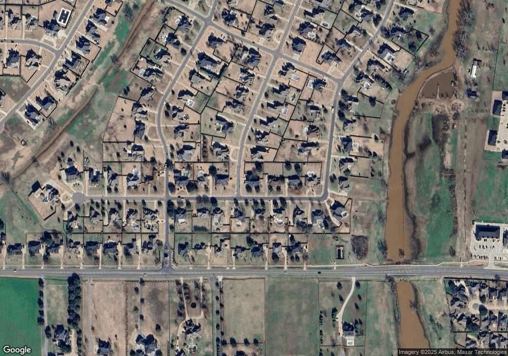
Map
Nearby Homes
- 200 Colonel Burt Dr
- 312 Tanyard Trace
- 315 Tanyard
- 240 Cattail Trail
- 1034 Maize St
- 1002 Maize St
- 628 Silkwood Dr
- 814 Dumaine Dr
- 252 Cattail Trail
- 101 Decatur St
- 216 Apalachee Way
- 214 Apalachee Way
- 746 Smokehouse Loop
- 798 Dumaine Dr
- 657 Alder Ln
- 605 Canoe Trail
- 793 Dumaine Dr
- 429 Remington Dr
- 5233 Timothy Trail
- 329 Camelback Dr
- 209 Colonel Burt Dr
- 300 Tanyard Trace
- 205 Colonel Burt Dr
- 216 Colonel Burt Dr
- 208 Colonel Burt Dr
- 206 Colonel Burt Dr
- 211 Colonel Burt Dr
- 210 Colonel Burt Dr
- 302 Tanyard Trace
- 301 Tanyard Trace
- 204 Colonel Burt Dr
- 203 Colonel Burt Dr
- 212 Colonel Burt Dr
- 213 Colonel Burt Dr
- 304 Tanyard Trace
- 202 Colonel Burt Dr
- 303 Tanyard Trace
- 435 Kingston Rd
- 201 Colonel Burt Dr
- 223 Cattail Trail
Your Personal Tour Guide
Ask me questions while you tour the home.