207 High St Brinkhaven, OH 43006
Estimated Value: $113,482 - $230,000
3
Beds
1
Bath
1,504
Sq Ft
$110/Sq Ft
Est. Value
About This Home
This home is located at 207 High St, Brinkhaven, OH 43006 and is currently estimated at $165,121, approximately $109 per square foot. 207 High St is a home with nearby schools including Danville Elementary School, Danville Middle School, and Danville High School.
Ownership History
Date
Name
Owned For
Owner Type
Purchase Details
Closed on
Mar 2, 2021
Sold by
Durbin Jennifer L and Durbin Martha J
Bought by
Laughrey Properties Llc
Current Estimated Value
Purchase Details
Closed on
Jul 24, 2020
Sold by
Laughrey Richard G & Norma J Co-Trustees
Bought by
Durbin Jennifer L and Durbin Martha J
Purchase Details
Closed on
Nov 13, 2007
Sold by
Thatcher Lois N
Bought by
Laughrey Richard G and Laughrey Norma J
Purchase Details
Closed on
Jan 22, 2004
Sold by
Laughrey Norma J and Laughrey Thatch
Bought by
Laughrey Richard G and Laughrey Norm
Purchase Details
Closed on
Apr 22, 1988
Sold by
Smith Iva P
Bought by
Laughrey Norma J and Laughrey Thatch
Create a Home Valuation Report for This Property
The Home Valuation Report is an in-depth analysis detailing your home's value as well as a comparison with similar homes in the area
Purchase History
| Date | Buyer | Sale Price | Title Company |
|---|---|---|---|
| Laughrey Properties Llc | -- | None Available | |
| Durbin Jennifer L | -- | None Available | |
| Durbin Jennifer L | -- | -- | |
| Laughrey Richard G | $7,350 | None Available | |
| Laughrey Richard G | -- | -- | |
| Laughrey Norma J | $7,500 | -- |
Source: Public Records
Tax History
| Year | Tax Paid | Tax Assessment Tax Assessment Total Assessment is a certain percentage of the fair market value that is determined by local assessors to be the total taxable value of land and additions on the property. | Land | Improvement |
|---|---|---|---|---|
| 2025 | $791 | $21,660 | $5,240 | $16,420 |
| 2024 | $791 | $21,660 | $5,240 | $16,420 |
| 2023 | $792 | $21,660 | $5,240 | $16,420 |
| 2022 | $771 | $18,040 | $4,360 | $13,680 |
| 2021 | $771 | $18,040 | $4,360 | $13,680 |
| 2020 | $730 | $18,040 | $4,360 | $13,680 |
| 2019 | $701 | $17,470 | $6,290 | $11,180 |
| 2018 | $756 | $17,470 | $6,290 | $11,180 |
| 2017 | $740 | $17,470 | $6,290 | $11,180 |
| 2016 | $681 | $16,170 | $5,820 | $10,350 |
| 2015 | $681 | $16,170 | $5,820 | $10,350 |
| 2014 | $619 | $16,170 | $5,820 | $10,350 |
| 2013 | $685 | $16,810 | $5,700 | $11,110 |
Source: Public Records
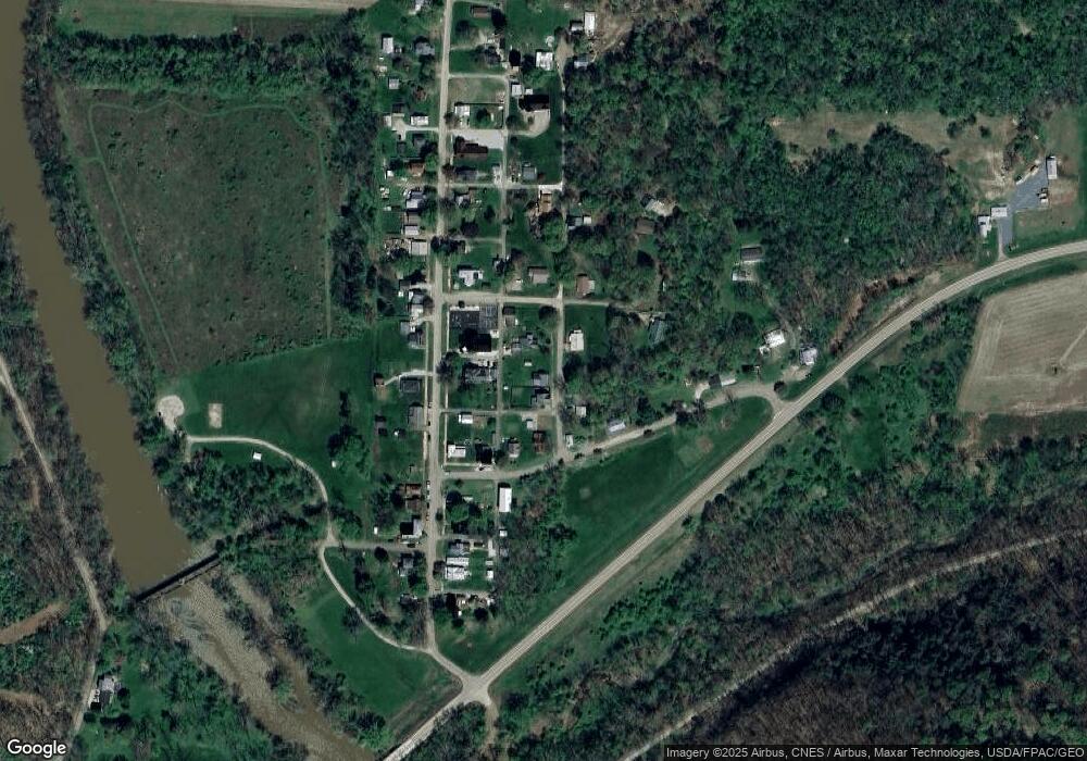
Map
Nearby Homes
- 15193 U S 62
- 15193 US Highway 62
- 29575 Hoover Rd
- 0 Hoover Road Hoover Rd
- 316 E Main St
- 202 Plum St
- 14072 Rd
- 106 W Rambo St
- 13356 Mowery Rd
- 0 Flat Run Rd
- 29100 Flat Run Rd
- 26367 Danville Amity Rd
- 34383 Township Road 351
- 2255 Township Road 34
- 3535 Township Road 29
- 0 Gessling Rd
- 0 State Route 520
- 34811 Township Road 234
- 26004 Millwood Rd
- 155 Grand Ridge Rd
Your Personal Tour Guide
Ask me questions while you tour the home.