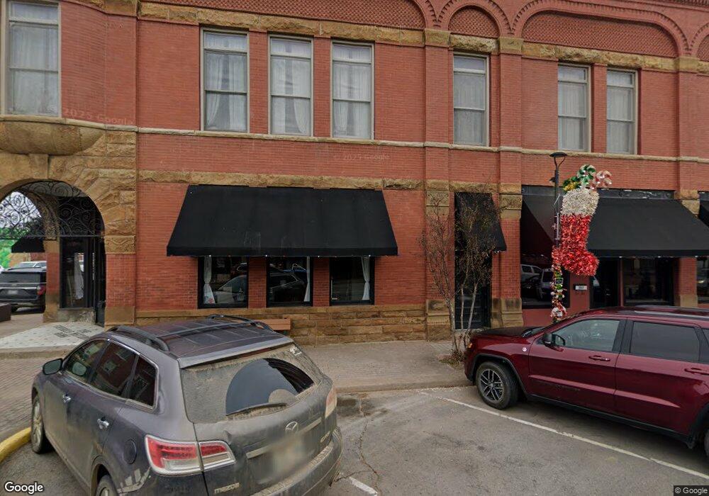
207 N Main St Eufaula, OK 74432
Estimated Value: $854,337 - $1,022,000
4
Beds
3
Baths
5,721
Sq Ft
$164/Sq Ft
Est. Value
About This Home
This home is located at 207 N Main St, Eufaula, OK 74432 and is currently estimated at $938,169, approximately $163 per square foot. 207 N Main St is a home with nearby schools including Eufaula Elementary School, Eufaula Middle School, and Eufaula High School.
Ownership History
Date
Name
Owned For
Owner Type
Purchase Details
Closed on
Sep 6, 2018
Sold by
Oldham James and Plunketf Lindsay
Bought by
Oldham James M and Oldham Lindsay D
Current Estimated Value
Home Financials for this Owner
Home Financials are based on the most recent Mortgage that was taken out on this home.
Original Mortgage
$453,100
Outstanding Balance
$394,358
Interest Rate
4.6%
Mortgage Type
New Conventional
Estimated Equity
$543,811
Purchase Details
Closed on
May 31, 2010
Sold by
Roed Richard N
Bought by
Love Harold D and Love Joy
Create a Home Valuation Report for This Property
The Home Valuation Report is an in-depth analysis detailing your home's value as well as a comparison with similar homes in the area
Home Values in the Area
Average Home Value in this Area
Purchase History
We collect this data history from publicly available records. To have your information removed, we recommend requesting removal directly through your county’s website.
| Date | Buyer | Sale Price | Title Company |
|---|---|---|---|
| Oldham James M | -- | Nations Title Of Oks | |
| Love Harold D | $110,000 | -- |
Source: Public Records
Mortgage History
We collect this data history from publicly available records. To have your information removed, we recommend requesting removal directly through your county’s website.
| Date | Status | Borrower | Loan Amount |
|---|---|---|---|
| Open | Oldham James M | $453,100 |
Source: Public Records
Tax History
| Year | Tax Paid | Tax Assessment Tax Assessment Total Assessment is a certain percentage of the fair market value that is determined by local assessors to be the total taxable value of land and additions on the property. | Land | Improvement |
|---|---|---|---|---|
| 2025 | $5,199 | $60,387 | $8,498 | $51,889 |
| 2024 | $5,188 | $60,385 | $8,250 | $52,135 |
| 2023 | $4,649 | $56,920 | $8,250 | $48,670 |
| 2022 | $4,638 | $56,920 | $8,250 | $48,670 |
| 2021 | $4,693 | $56,920 | $8,250 | $48,670 |
| 2020 | $4,695 | $56,920 | $8,250 | $48,670 |
| 2019 | $4,820 | $56,920 | $8,250 | $48,670 |
| 2018 | $4,699 | $56,919 | $8,250 | $48,669 |
| 2017 | $4,478 | $53,752 | $7,728 | $46,024 |
| 2016 | $4,285 | $51,191 | $7,537 | $43,654 |
| 2015 | $1,313 | $15,899 | $7,178 | $8,721 |
| 2014 | $1,242 | $15,142 | $6,761 | $8,381 |
Source: Public Records
Map
Nearby Homes
- 6484 Reagan Dr
- 87 Rose Way
- 0 Eufaula Sportsman St Unit 26
- 206 Forest
- 101 S Main St
- 114 Belt Ave
- 5 Rose Way
- TBD Selmon Border Rd
- TBD Selmon Rd
- 366 S Main St Unit 23
- 212 Belt St
- 421041 E 1169 Rd
- 403 W Grand Ave
- 220 Belt Ave
- 509 Sunset Strip
- 200 Indian Ave
- 411 S 3rd St
- 401 High St
- 111 N 5th St
- 232 E Elm Ave
- 201 N Main St
- 45 Selmon Rd
- 116983 S 4205 Rd
- 223 N Main St
- 223 N Main St
- 104 Selmon Rd
- 1590 Hwy 9
- 121364 Hwy 9
- 0 Daisy Dr Unit 1009730
- 0 Eufaula Sportsman St Unit 2545251
- 17 415
- 420902 1164
- 0 Bristow Point Unit 2520568
- 121119 S 4170 Rd
- 0 Daisy Dr Unit 2431993
- 0 Eufaula Sportsman St Unit 2421209
- 0 Dover Estates Rd Unit 2416925
- 0 Eufaula Sportsman St Unit 2344057
- 0 Eufaula Sportsman St Unit 2339140
- 0 Dover Estates Rd Unit 2330281
Your Personal Tour Guide
Ask me questions while you tour the home.