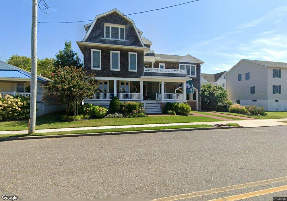
207 Queen St Cape May, NJ 08204
Estimated Value: $2,411,719 - $2,681,000
Studio
--
Bath
2,972
Sq Ft
$848/Sq Ft
Est. Value
About This Home
This home is located at 207 Queen St, Cape May, NJ 08204 and is currently estimated at $2,520,430, approximately $848 per square foot. 207 Queen St is a home located in Cape May County with nearby schools including Cape May City Elementary School, Richard M. Teitelman School, and Lower Cape May Regional High School.
Ownership History
Date
Name
Owned For
Owner Type
Purchase Details
Closed on
May 24, 2007
Sold by
Copeland Matthew H
Bought by
Brady Michael J and Brady Susan L
Current Estimated Value
Home Financials for this Owner
Home Financials are based on the most recent Mortgage that was taken out on this home.
Original Mortgage
$375,000
Outstanding Balance
$228,971
Interest Rate
6.24%
Mortgage Type
Purchase Money Mortgage
Estimated Equity
$2,291,459
Create a Home Valuation Report for This Property
The Home Valuation Report is an in-depth analysis detailing your home's value as well as a comparison with similar homes in the area
Home Values in the Area
Average Home Value in this Area
Purchase History
| Date | Buyer | Sale Price | Title Company |
|---|---|---|---|
| Brady Michael J | $880,000 | The Title Co Of Jersey |
Source: Public Records
Mortgage History
| Date | Status | Borrower | Loan Amount |
|---|---|---|---|
| Open | Brady Michael J | $375,000 |
Source: Public Records
Tax History
| Year | Tax Paid | Tax Assessment Tax Assessment Total Assessment is a certain percentage of the fair market value that is determined by local assessors to be the total taxable value of land and additions on the property. | Land | Improvement |
|---|---|---|---|---|
| 2025 | $11,997 | $1,135,000 | $547,800 | $587,200 |
| 2024 | $12,190 | $1,135,000 | $547,800 | $587,200 |
Source: Public Records
Map
Nearby Homes
- 610 Beach Ave
- 819 Beach Ave Unit 3B
- 824 Stockton Ave
- 316 Jefferson St Unit 3
- 106 Howard St Unit A
- 106 A Howard St
- 519 Franklin St
- 645 Hughes St
- 626 Hughes St
- 1202 Maryland Ave
- 1205 Beach Ave Unit 3
- 202 Ocean St
- 933 Washington St
- 1001 Washington St Unit 1A
- 1001 Washington St Unit 5B
- 130 Decatur St
- 936 Lafayette St Unit 5
- 42 Jackson St Unit 3
- 517 Broad St Unit B
- 1323 New Jersey Ave
- 1003 Kearney Ave
- 209 Queen St
- 1006 Benton Ave
- 1005 Kearney Ave
- 1009 Kearney Ave
- 202 Queen St
- 206 Queen St
- 206 Madison Ave
- 204 Madison Ave
- 931 Kearney Ave
- 1005 Benton Ave
- 200 Madison Ave
- 105 Queen St
- 301 Queen St
- 301 Queen St
- 301 Queen St
- 301 Queen St
- 301 Queen St
- 301 Queen St Unit 5
- 301 Queen St Unit 5 Benton Condominiu
Your Personal Tour Guide
Ask me questions while you tour the home.