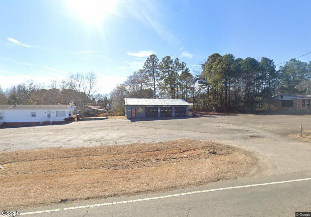
207 Roxboro Rd Oxford, NC 27565
Estimated Value: $489,239
Studio
--
Bath
1,420
Sq Ft
$345/Sq Ft
Est. Value
About This Home
This home is located at 207 Roxboro Rd, Oxford, NC 27565 and is currently priced at $489,239, approximately $344 per square foot. 207 Roxboro Rd is a home located in Granville County with nearby schools including West Oxford Elementary School, Northern Granville Middle School, and J.F. Webb High School.
Ownership History
Date
Name
Owned For
Owner Type
Purchase Details
Closed on
Jun 18, 2020
Sold by
Weary Jonathan Michael and Weary Tanya Seate
Bought by
Duncan Theodore Jack
Current Estimated Value
Purchase Details
Closed on
Jun 16, 2020
Sold by
Sjs Properties
Bought by
Weary Jonathan Michael and Weary Tanya Seate
Purchase Details
Closed on
Apr 20, 2015
Sold by
Fidelity Bank
Bought by
S J S Properties
Purchase Details
Closed on
Aug 6, 2013
Sold by
Currin Kenneth N and Currin Mary P
Bought by
Fidelity Bank
Create a Home Valuation Report for This Property
The Home Valuation Report is an in-depth analysis detailing your home's value as well as a comparison with similar homes in the area
Purchase History
| Date | Buyer | Sale Price | Title Company |
|---|---|---|---|
| Duncan Theodore Jack | $120,000 | None Available | |
| Weary Jonathan Michael | $72,500 | None Available | |
| S J S Properties | $72,000 | None Available | |
| Fidelity Bank | $75,000 | None Available |
Source: Public Records
Tax History
| Year | Tax Paid | Tax Assessment Tax Assessment Total Assessment is a certain percentage of the fair market value that is determined by local assessors to be the total taxable value of land and additions on the property. | Land | Improvement |
|---|---|---|---|---|
| 2025 | $3,252 | $281,949 | $198,660 | $83,289 |
| 2024 | $3,252 | $281,949 | $198,660 | $83,289 |
| 2023 | $1,419 | $95,902 | $62,895 | $33,007 |
| 2022 | $1,419 | $95,902 | $62,895 | $33,007 |
| 2021 | $1,419 | $95,902 | $62,895 | $33,007 |
| 2020 | $1,419 | $95,902 | $62,895 | $33,007 |
| 2019 | $1,419 | $95,902 | $62,895 | $33,007 |
| 2016 | $1,776 | $116,861 | $74,340 | $42,521 |
| 2015 | $1,718 | $116,861 | $74,340 | $42,521 |
| 2013 | -- | $116,861 | $74,340 | $42,521 |
Source: Public Records
Map
Nearby Homes
- 506 Hicks Mill Rd
- 127 Daniel St
- 611 College St
- Lot 16 Dove Rd
- 14 & 15 Dove Rd
- 200 Bluegrass Dr
- 0 Broad St
- 308 Sunset Ave
- 0 E Quail Ridge Rd Unit 10140609
- 102 Bluegrass Dr
- 103 Airdale Dr
- 105 Airdale Dr
- 101 Airdale Dr
- 107 Airdale Dr
- 206 Cardinal Ct
- 112 Rectory St
- 118 Rectory St
- 308 Lanier St
- 204 & 206 Cardinal Ct
- 1220 Oxford Loop Rd
- 118 W College St
- 116 W College St
- 114 W College St
- 122 W College St
- 124 W College St
- 112 W College St
- 216 W College St
- 115 W College St
- 200 W College St
- 113 W College St
- 111 W College St
- 120 Roxboro Rd
- 117 W College St
- 202 W College St
- 107 W College St
- 106 Roxboro Rd
- 108 A & B West College St
- 204 W College St
- 107 Roxboro Rd
- 104 Roxboro Rd
Your Personal Tour Guide
Ask me questions while you tour the home.