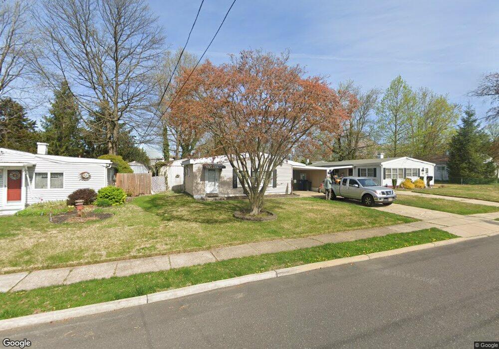
207 Ruth Ave Unit 601A Maple Shade, NJ 08052
Estimated Value: $190,000 - $244,000
About This Home
This home is located at 207 Ruth Ave Unit 601A, Maple Shade, NJ 08052 and is currently estimated at $221,016, approximately $309 per square foot. 207 Ruth Ave Unit 601A is a home located in Burlington County with nearby schools including Maude M. Wilkins Elementary School, Ralph J Steinhauer Elementary School, and Howard R Yocum School.
Ownership History
We collect this data history from publicly available records. To have your information removed, we recommend requesting removal directly through your county’s website.
Purchase Details
Home Financials for this Owner
Home Financials are based on the most recent Mortgage that was taken out on this home.Purchase Details
Home Financials for this Owner
Home Financials are based on the most recent Mortgage that was taken out on this home.Purchase Details
Home Values in the Area
Average Home Value in this Area
Purchase History
We collect this data history from publicly available records. To have your information removed, we recommend requesting removal directly through your county’s website.
| Date | Buyer | Sale Price | Title Company |
|---|---|---|---|
| $137,000 | -- | ||
| $85,000 | None Available | ||
| -- | -- |
Mortgage History
We collect this data history from publicly available records. To have your information removed, we recommend requesting removal directly through your county’s website.
| Date | Status | Borrower | Loan Amount |
|---|---|---|---|
| Open | $109,600 | ||
| Previous Owner | $83,686 |
Tax History
We collect this data history from publicly available records. To have your information removed, we recommend requesting removal directly through your county’s website.
| Year | Tax Paid | Tax Assessment Tax Assessment Total Assessment is a certain percentage of the fair market value that is determined by local assessors to be the total taxable value of land and additions on the property. | Land | Improvement |
|---|---|---|---|---|
| 2025 | $4,073 | $107,300 | $46,300 | $61,000 |
| 2024 | $3,955 | $107,300 | $46,300 | $61,000 |
| 2023 | $3,955 | $107,300 | $46,300 | $61,000 |
| 2022 | $3,894 | $107,300 | $46,300 | $61,000 |
| 2021 | $3,567 | $107,300 | $46,300 | $61,000 |
| 2020 | $3,867 | $107,300 | $46,300 | $61,000 |
| 2019 | $3,725 | $107,300 | $46,300 | $61,000 |
| 2018 | $3,661 | $107,300 | $46,300 | $61,000 |
| 2017 | $3,618 | $107,300 | $46,300 | $61,000 |
| 2016 | $3,565 | $107,300 | $46,300 | $61,000 |
| 2015 | $3,487 | $107,300 | $46,300 | $61,000 |
| 2014 | $3,381 | $107,300 | $46,300 | $61,000 |
Map
- 105 County Ave
- 223 Ruth Ave
- 226 Ruth Ave
- 520 S Maple Ave
- 621 S Forklanding Rd
- 204 E Mill Rd
- 28 E Mill Rd
- 332 S Fellowship Rd
- 109 E Mill Rd
- 332 Bailey Ave
- 106 W Mill Rd
- 534 Buttonwood Ave
- 206 S Maple Ave
- 304 S Forklanding Rd
- 28 W Center Ave
- 115 S Walnut Ave
- 442 Cutler Ave
- 129 N Monroe Ave
- 25 S Holly Ave
- 180 Cherry Tree Ln
Ask me questions while you tour the home.