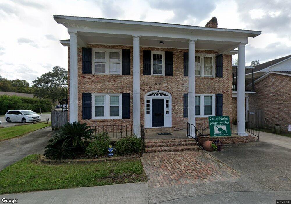
2070 Silverside Dr Baton Rouge, LA 70808
Highlands/Perkins NeighborhoodEstimated Value: $699,236
Studio
--
Bath
1,200
Sq Ft
$583/Sq Ft
Est. Value
About This Home
This home is located at 2070 Silverside Dr, Baton Rouge, LA 70808 and is currently estimated at $699,236, approximately $582 per square foot. 2070 Silverside Dr is a home located in East Baton Rouge Parish with nearby schools including Westminster Elementary School, Westdale Middle School, and Tara High School.
Ownership History
Date
Name
Owned For
Owner Type
Purchase Details
Closed on
Aug 10, 2015
Sold by
Cashio Michael J
Bought by
Silverside Office Park Llc
Current Estimated Value
Purchase Details
Closed on
Sep 7, 2010
Sold by
Source Business & Indl Dev
Bought by
Cashio Michael J
Home Financials for this Owner
Home Financials are based on the most recent Mortgage that was taken out on this home.
Original Mortgage
$325,000
Interest Rate
4.55%
Mortgage Type
Construction
Create a Home Valuation Report for This Property
The Home Valuation Report is an in-depth analysis detailing your home's value as well as a comparison with similar homes in the area
Home Values in the Area
Average Home Value in this Area
Purchase History
| Date | Buyer | Sale Price | Title Company |
|---|---|---|---|
| Silverside Office Park Llc | -- | -- | |
| Cashio Michael J | $475,000 | -- |
Source: Public Records
Mortgage History
| Date | Status | Borrower | Loan Amount |
|---|---|---|---|
| Previous Owner | Cashio Michael J | $325,000 |
Source: Public Records
Tax History
| Year | Tax Paid | Tax Assessment Tax Assessment Total Assessment is a certain percentage of the fair market value that is determined by local assessors to be the total taxable value of land and additions on the property. | Land | Improvement |
|---|---|---|---|---|
| 2025 | $12,824 | $104,610 | $16,313 | $88,297 |
| 2024 | $12,824 | $104,610 | $16,313 | $88,297 |
| 2023 | $12,252 | $95,100 | $14,830 | $80,270 |
| 2022 | $11,355 | $95,100 | $14,830 | $80,270 |
| 2021 | $11,095 | $95,100 | $14,830 | $80,270 |
| 2020 | $11,022 | $95,100 | $14,830 | $80,270 |
| 2019 | $11,518 | $95,100 | $14,400 | $80,700 |
| 2018 | $11,375 | $95,100 | $14,400 | $80,700 |
| 2017 | $11,375 | $95,100 | $14,400 | $80,700 |
| 2016 | $11,094 | $95,100 | $14,400 | $80,700 |
| 2015 | $10,879 | $93,200 | $12,500 | $80,700 |
| 2014 | $10,839 | $93,200 | $12,500 | $80,700 |
| 2013 | -- | $93,200 | $12,500 | $80,700 |
Source: Public Records
Map
Nearby Homes
- 1941 Southpointe Dr
- 1921 Southpointe Dr
- 1822 Seawolf Dr
- 7649 Silverside Cove Dr
- 1715 Seawolf Dr
- 7615 Whitetip Ave
- 3455 Granada Dr
- 1342 Applewood Rd
- 1642 Mary Sue Dr
- 9337 Corsica Ave
- 1646 Theron Dr
- 1713 Emmaline Dr
- 1605 Applewood Rd
- 9214 Avis Ave
- 8119 Summa Ave Unit C
- 3135 Madeira Dr
- 5152 Blair Ln Unit B
- 8060 Pennth Ave Unit B
- 5323 Blair Ln Unit FF-3
- 5323 Blair Ln Unit K209
- 7644 Silverside Dr
- 7607 Silverside Dr
- 7704 Silverside Dr
- 7745 Silverside Dr
- 7728 Silverside Dr
- 7650 Silverside Dr
- 7321 Alberta Dr
- 7321 Alberta St
- 7353 Alberta Dr
- 7434 Perkins Rd
- 2041 Silverside Dr
- 7385 Alberta Dr
- 7520 Perkins Rd
- 7520 Perkins Rd Unit 280
- 7520 Perkins Rd Unit 170
- 7354 Alberta Dr
- 1960 Southpointe Dr
- 2030 Camellia Trace Dr
- 2030 Camelia Trace
- 2035 Camelia Trace
Your Personal Tour Guide
Ask me questions while you tour the home.