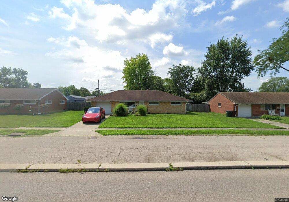
2074 W Stroop Rd Dayton, OH 45439
Woodbourne-Hyde Park NeighborhoodEstimated Value: $169,562 - $200,000
3
Beds
1
Bath
1,080
Sq Ft
$172/Sq Ft
Est. Value
About This Home
This home is located at 2074 W Stroop Rd, Dayton, OH 45439 and is currently estimated at $185,641, approximately $171 per square foot. 2074 W Stroop Rd is a home located in Montgomery County with nearby schools including West Carrollton High School, Miami Valley Academies, and St. Albert the Great School.
Ownership History
Date
Name
Owned For
Owner Type
Purchase Details
Closed on
Jan 30, 2026
Sold by
Kempton Chris A and Kempton Kathleen A
Bought by
Broaddus Logan Michael
Current Estimated Value
Home Financials for this Owner
Home Financials are based on the most recent Mortgage that was taken out on this home.
Original Mortgage
$166,250
Outstanding Balance
$166,090
Interest Rate
6.16%
Mortgage Type
Credit Line Revolving
Estimated Equity
$19,552
Purchase Details
Closed on
Oct 2, 2009
Sold by
Kempton Kenneth Eugene and Kempton Gwendolyn B
Bought by
Kempton Chris A and Kempton Kathleen A
Home Financials for this Owner
Home Financials are based on the most recent Mortgage that was taken out on this home.
Original Mortgage
$45,000
Interest Rate
5.19%
Mortgage Type
New Conventional
Create a Home Valuation Report for This Property
The Home Valuation Report is an in-depth analysis detailing your home's value as well as a comparison with similar homes in the area
Home Values in the Area
Average Home Value in this Area
Purchase History
| Date | Buyer | Sale Price | Title Company |
|---|---|---|---|
| Broaddus Logan Michael | $175,000 | Pctitle Pros | |
| Kempton Chris A | $60,000 | Attorney |
Source: Public Records
Mortgage History
| Date | Status | Borrower | Loan Amount |
|---|---|---|---|
| Open | Broaddus Logan Michael | $166,250 | |
| Previous Owner | Kempton Chris A | $45,000 |
Source: Public Records
Tax History
| Year | Tax Paid | Tax Assessment Tax Assessment Total Assessment is a certain percentage of the fair market value that is determined by local assessors to be the total taxable value of land and additions on the property. | Land | Improvement |
|---|---|---|---|---|
| 2025 | $3,110 | $42,260 | $7,820 | $34,440 |
| 2024 | $3,026 | $42,260 | $7,820 | $34,440 |
| 2023 | $3,026 | $42,260 | $7,820 | $34,440 |
| 2022 | $2,643 | $28,370 | $5,250 | $23,120 |
| 2021 | $2,441 | $28,370 | $5,250 | $23,120 |
| 2020 | $2,446 | $28,370 | $5,250 | $23,120 |
| 2019 | $2,565 | $26,060 | $5,250 | $20,810 |
| 2018 | $2,403 | $26,060 | $5,250 | $20,810 |
| 2017 | $2,390 | $26,060 | $5,250 | $20,810 |
| 2016 | $2,421 | $25,530 | $5,250 | $20,280 |
| 2015 | $2,256 | $25,530 | $5,250 | $20,280 |
| 2014 | $2,256 | $25,530 | $5,250 | $20,280 |
| 2012 | -- | $26,690 | $7,000 | $19,690 |
Source: Public Records
Map
Nearby Homes
- 2090 Mattis Dr
- 1681 Hillwood Dr
- 3913 Elmira Dr
- 2218 Finland Dr
- 3743 Cordell Dr
- 4304 Harbison St
- 4301 Tait Rd
- 2183 Los Arrow Dr
- 4476 Hannaford St
- 4515 Harbison St
- 4518 Harbison St
- 3596 Tait Rd
- 1770 Big Hill Rd
- 4528 Southern Dr
- 2337 Ned Dr
- 5100 Oak Ave
- 2623 Blanchard Ave
- 3497 Tall Timber Trail
- 2087 Lehigh Place
- 4819 Loxley Dr
- 2090 W Stroop Rd
- 2062 W Stroop Rd
- 2089 Norway Dr
- 2101 Norway Dr
- 2050 W Stroop Rd
- 2077 Norway Dr
- 2106 W Stroop Rd
- 2115 Norway Dr
- 2065 Norway Dr
- 1737 W Stroop Rd
- 2036 W Stroop Rd
- 2118 W Stroop Rd
- 4035 Cordell Dr
- 1725 W Stroop Rd
- 2098 Norway Dr
- 2129 Norway Dr
- 1713 W Stroop Rd
- 4047 Cordell Dr
- 1761 W Stroop Rd
- 2064 Norway Dr
Your Personal Tour Guide
Ask me questions while you tour the home.