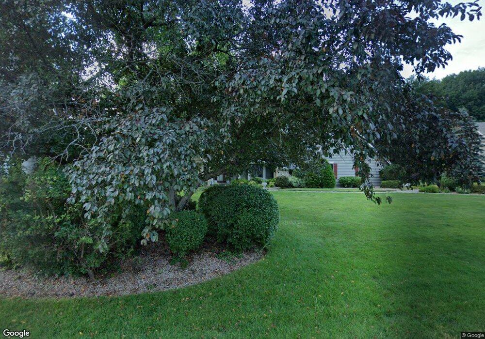
20740 Bartlett Ct Brookfield, WI 53045
Estimated Value: $865,000 - $1,115,000
4
Beds
4
Baths
1,875
Sq Ft
$510/Sq Ft
Est. Value
About This Home
This home is located at 20740 Bartlett Ct, Brookfield, WI 53045 and is currently estimated at $956,586, approximately $510 per square foot. 20740 Bartlett Ct is a home located in Waukesha County with nearby schools including Brookfield Elementary School, Wisconsin Hills Middle School, and Brookfield Central High School.
Ownership History
Date
Name
Owned For
Owner Type
Purchase Details
Closed on
Aug 11, 2009
Sold by
Risch Richard A and Risch Jean M
Bought by
Chiu Henry H and Chiu Anne N
Current Estimated Value
Home Financials for this Owner
Home Financials are based on the most recent Mortgage that was taken out on this home.
Original Mortgage
$200,000
Outstanding Balance
$131,395
Interest Rate
5.36%
Mortgage Type
Purchase Money Mortgage
Estimated Equity
$825,191
Create a Home Valuation Report for This Property
The Home Valuation Report is an in-depth analysis detailing your home's value as well as a comparison with similar homes in the area
Home Values in the Area
Average Home Value in this Area
Purchase History
| Date | Buyer | Sale Price | Title Company |
|---|---|---|---|
| Chiu Henry H | $591,600 | Priority Title Corporation |
Source: Public Records
Mortgage History
| Date | Status | Borrower | Loan Amount |
|---|---|---|---|
| Open | Chiu Henry H | $200,000 |
Source: Public Records
Tax History
| Year | Tax Paid | Tax Assessment Tax Assessment Total Assessment is a certain percentage of the fair market value that is determined by local assessors to be the total taxable value of land and additions on the property. | Land | Improvement |
|---|---|---|---|---|
| 2024 | $8,295 | $731,900 | $210,000 | $521,900 |
| 2023 | $8,311 | $731,900 | $210,000 | $521,900 |
| 2022 | $9,016 | $620,100 | $200,000 | $420,100 |
| 2021 | $9,559 | $620,100 | $200,000 | $420,100 |
| 2020 | $9,926 | $620,100 | $200,000 | $420,100 |
| 2019 | $9,551 | $620,100 | $200,000 | $420,100 |
| 2018 | $8,856 | $560,600 | $200,000 | $360,600 |
| 2017 | $8,833 | $560,600 | $200,000 | $360,600 |
| 2016 | $8,961 | $560,600 | $200,000 | $360,600 |
| 2015 | $8,901 | $560,600 | $200,000 | $360,600 |
| 2014 | $9,234 | $560,600 | $200,000 | $360,600 |
| 2013 | $9,234 | $560,600 | $200,000 | $360,600 |
Source: Public Records
Map
Nearby Homes
- 2820 Norman Dr
- 2840 Norman Dr
- 21065 Bradford Ln
- Lt118 Berwick Ct
- Lt120 Berwick Ct
- Lt116 Berwick Ct
- Lt114 Berwick Ct
- 21300 Astolat Dr
- 2550 Harmony Cir
- 2465 Lionel Ct
- N29W22090 Kathryn Ct
- N28W22131 Indianwood Ct
- 2000 Kathlynn Ct
- 1930 Cotton Tail Ln
- 1775 Derrin Ln
- W221N3075 Greenwood Ct
- 19030 Brookdale Dr
- 19775 Trilby Ct
- 18860 N Hills Dr
- 21965 W North Ave
- 20770 Bartlett Ct
- 20690 Bartlett Ct
- 20735 Lincolnshire Ct
- 20765 Lincolnshire Ct
- 20765 Bartlett Ct
- 20725 Bartlett Ct
- 20670 Bartlett Ct
- 20655 Spencer Ct
- 20805 Lincolnshire Ct
- 20810 Bartlett Ct
- 20685 Bartlett Ct
- 20740 Lincolnshire Ct
- 20800 Bartlett Ct
- 20800 Bartlett Ct
- 2705 Spencer Ln
- 20850 Bartlett Ct
- 2665 Spencer Ln
- 20710 Bartlett Dr
- 20855 Lincolnshire Ct
- 20750 Lincolnshire Ct
Your Personal Tour Guide
Ask me questions while you tour the home.