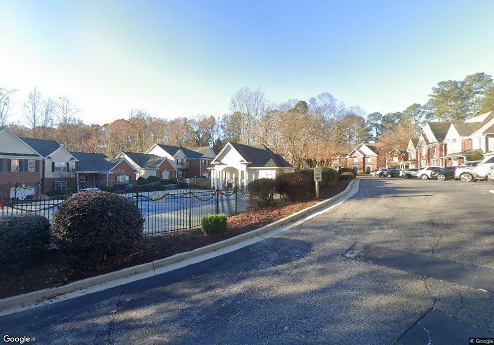
2075 Pine Tree Dr Unit B4 Buford, GA 30518
Estimated Value: $361,000 - $395,000
3
Beds
2
Baths
1,469
Sq Ft
$263/Sq Ft
Est. Value
About This Home
This home is located at 2075 Pine Tree Dr Unit B4, Buford, GA 30518 and is currently estimated at $386,009, approximately $262 per square foot. 2075 Pine Tree Dr Unit B4 is a home located in Gwinnett County with nearby schools including Buford Elementary School, Buford Academy, and Buford Senior Academy.
Ownership History
Date
Name
Owned For
Owner Type
Purchase Details
Closed on
Nov 28, 2016
Sold by
William W
Bought by
Rotundo Carla K
Current Estimated Value
Home Financials for this Owner
Home Financials are based on the most recent Mortgage that was taken out on this home.
Original Mortgage
$171,830
Outstanding Balance
$141,706
Interest Rate
4.4%
Mortgage Type
FHA
Estimated Equity
$244,303
Purchase Details
Closed on
May 7, 1999
Sold by
Lanier Pointe Development Llc
Bought by
Hardin William W and Hardin Alice J
Home Financials for this Owner
Home Financials are based on the most recent Mortgage that was taken out on this home.
Original Mortgage
$115,830
Interest Rate
6.87%
Mortgage Type
New Conventional
Create a Home Valuation Report for This Property
The Home Valuation Report is an in-depth analysis detailing your home's value as well as a comparison with similar homes in the area
Home Values in the Area
Average Home Value in this Area
Purchase History
| Date | Buyer | Sale Price | Title Company |
|---|---|---|---|
| Rotundo Carla K | $175,000 | -- | |
| Hardin William W | $143,000 | -- |
Source: Public Records
Mortgage History
| Date | Status | Borrower | Loan Amount |
|---|---|---|---|
| Open | Rotundo Carla K | $171,830 | |
| Previous Owner | Hardin William W | $115,830 |
Source: Public Records
Tax History
| Year | Tax Paid | Tax Assessment Tax Assessment Total Assessment is a certain percentage of the fair market value that is determined by local assessors to be the total taxable value of land and additions on the property. | Land | Improvement |
|---|---|---|---|---|
| 2025 | $2,270 | $158,200 | $28,000 | $130,200 |
| 2024 | $1,760 | $122,680 | $16,000 | $106,680 |
| 2023 | $1,760 | $122,680 | $16,000 | $106,680 |
| 2022 | $1,760 | $122,680 | $16,000 | $106,680 |
| 2021 | $1,331 | $92,760 | $16,000 | $76,760 |
| 2020 | $1,158 | $80,720 | $10,000 | $70,720 |
| 2019 | $838 | $64,640 | $10,000 | $54,640 |
| 2018 | $838 | $64,640 | $10,000 | $54,640 |
| 2016 | $790 | $61,640 | $10,000 | $51,640 |
| 2015 | $444 | $33,480 | $5,600 | $27,880 |
| 2014 | $452 | $33,480 | $5,600 | $27,880 |
Source: Public Records
Map
Nearby Homes
- 2075 Pine Tree Dr Unit B2
- 2079 Lanier Harbor Pointe
- 5984 Dolvin Ln
- 6120 Woodlake Dr
- 2038 Buford Dam Rd Unit 1
- 5820 Elm Tree Dr Unit 1
- 2045 Buford Dam Rd
- 6219 Woodlake Dr
- 5920 Branden Hill Ln
- 6265 Lake Windsor Pkwy
- 5995 Lake Windsor Pkwy Unit 1
- 1930 Grand Lanier Dr
- 2332 Saint Kennedy Ln
- 1854 Buford Dam Rd
- 1860 Buford Dam Rd
- 2328 Coinsborough Way Unit 1
- 6708 Bass Cir
- 6381 Lakeview Dr
- 6402 Lakeview Dr
- 5561 Shadburn Ferry Rd
- 2075 Pine Tree Dr Unit G3
- 2075 Pine Tree Dr Unit G4
- 2075 Pine Tree Dr Unit D1
- 2075 Pine Tree Dr Unit E1
- 2075 Pine Tree Dr Unit E4
- 2075 Pine Tree Dr Unit D3
- 2075 Pine Tree Dr Unit A3
- 2075 Pine Tree Dr
- 2075 Pine Tree Dr
- 2075 Pine Tree Dr
- 2075 Pine Tree Dr
- 2075 Pine Tree Dr
- 2075 Pine Tree Dr
- 2075 Pine Tree Dr
- 2075 Pine Tree Dr
- 2075 Pine Tree Dr Unit 3
- 2075 Pine Tree Dr Unit B1
- 2075 Pine Tree Dr Unit B3
- 2075 Pine Tree Dr Unit C1
- 2075 Pine Tree Dr Unit C2
Your Personal Tour Guide
Ask me questions while you tour the home.