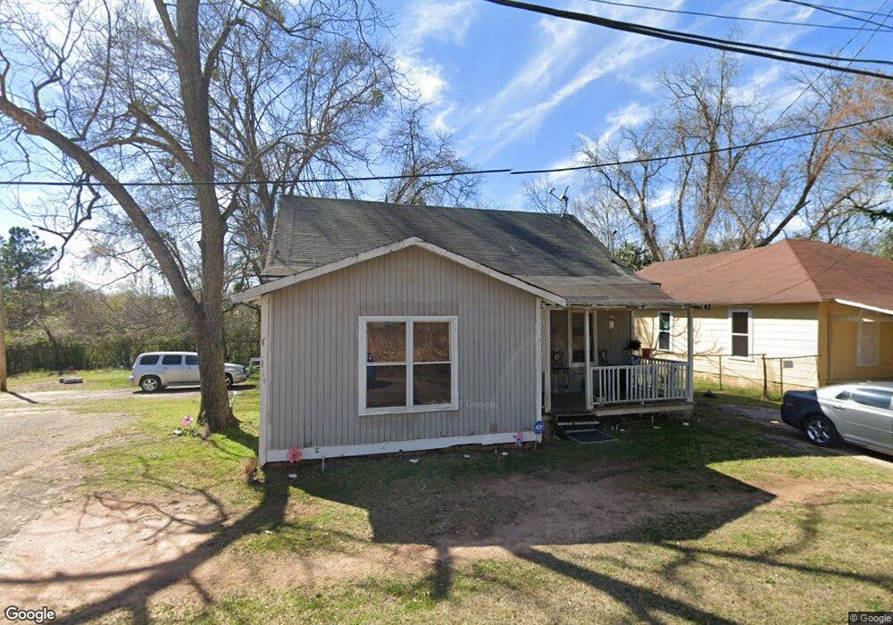
208 Addie St Lagrange, GA 30241
Estimated Value: $58,000 - $92,000
3
Beds
1
Bath
1,280
Sq Ft
$56/Sq Ft
Est. Value
About This Home
This home is located at 208 Addie St, Lagrange, GA 30241 and is currently estimated at $71,405, approximately $55 per square foot. 208 Addie St is a home located in Troup County with nearby schools including Hollis Hand Elementary School, Franklin Forest Elementary School, and Ethel W. Kight Elementary School.
Ownership History
Date
Name
Owned For
Owner Type
Purchase Details
Closed on
Jan 11, 2024
Sold by
Allen Craig
Bought by
Rail District Enterprises Llc
Current Estimated Value
Home Financials for this Owner
Home Financials are based on the most recent Mortgage that was taken out on this home.
Original Mortgage
$101,500
Outstanding Balance
$66,683
Interest Rate
6.95%
Mortgage Type
New Conventional
Estimated Equity
$4,722
Purchase Details
Closed on
Jun 29, 2020
Sold by
Allen H I
Bought by
Allen Craig
Purchase Details
Closed on
Feb 17, 1976
Sold by
Edna Alice Brazil
Bought by
Allen H I
Purchase Details
Closed on
Jan 1, 1948
Bought by
Edna Alice Brazil
Create a Home Valuation Report for This Property
The Home Valuation Report is an in-depth analysis detailing your home's value as well as a comparison with similar homes in the area
Purchase History
| Date | Buyer | Sale Price | Title Company |
|---|---|---|---|
| Rail District Enterprises Llc | $145,000 | -- | |
| Allen Craig | -- | -- | |
| Allen H I | $8,500 | -- | |
| Edna Alice Brazil | -- | -- |
Source: Public Records
Mortgage History
| Date | Status | Borrower | Loan Amount |
|---|---|---|---|
| Open | Rail District Enterprises Llc | $101,500 |
Source: Public Records
Tax History
| Year | Tax Paid | Tax Assessment Tax Assessment Total Assessment is a certain percentage of the fair market value that is determined by local assessors to be the total taxable value of land and additions on the property. | Land | Improvement |
|---|---|---|---|---|
| 2025 | $536 | $19,640 | $2,840 | $16,800 |
| 2024 | $494 | $18,120 | $2,840 | $15,280 |
| 2023 | $363 | $13,320 | $2,840 | $10,480 |
| 2022 | $355 | $12,720 | $2,840 | $9,880 |
| 2021 | $362 | $12,000 | $1,880 | $10,120 |
| 2020 | $362 | $12,000 | $1,880 | $10,120 |
| 2019 | $331 | $10,976 | $1,896 | $9,080 |
| 2018 | $331 | $10,976 | $1,896 | $9,080 |
| 2017 | $331 | $10,976 | $1,896 | $9,080 |
| 2016 | $324 | $10,736 | $1,896 | $8,840 |
| 2015 | $324 | $10,736 | $1,896 | $8,840 |
| 2014 | $311 | $10,271 | $1,896 | $8,375 |
| 2013 | -- | $10,931 | $1,896 | $9,035 |
Source: Public Records
Map
Nearby Homes
- 203 Fannin St
- 209 Dix St
- 105 Dix St
- 0 Locust St
- 803 1/2 Hines St
- 509 S Lewis St
- 303 E Mulberry St
- 0 Burr St
- 306 Burr St
- 203 Revis St
- 205 Revis St
- 206 Broad St
- 405 W Broome St Unit 2
- 405 W Broome St Unit 3
- 405 W Broome St Unit 4
- 405 W Broome St Unit 1
- 405 W Broome St Unit 5
- 200 Mccall St
- 801 Hines St
- 501 Milam St
Your Personal Tour Guide
Ask me questions while you tour the home.