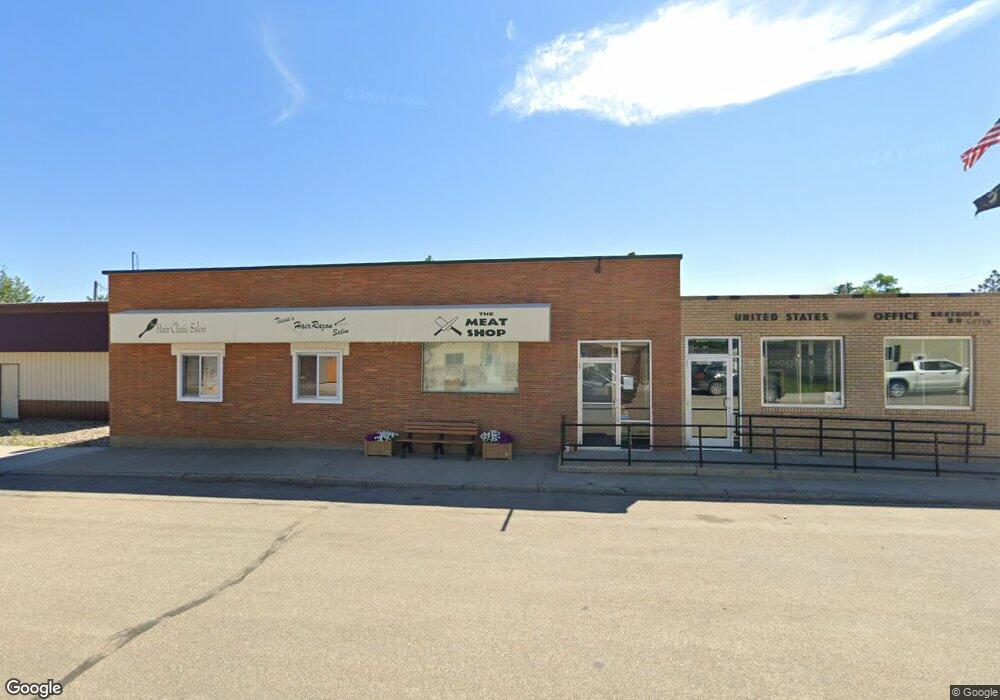
208 Main St N Berthold, ND 58718
Estimated Value: $101,333 - $236,000
Studio
--
Bath
4,810
Sq Ft
$37/Sq Ft
Est. Value
About This Home
This home is located at 208 Main St N, Berthold, ND 58718 and is currently estimated at $177,333, approximately $36 per square foot. 208 Main St N is a home.
Ownership History
Date
Name
Owned For
Owner Type
Purchase Details
Closed on
Sep 9, 2022
Sold by
Brittany Reynolds
Bought by
Blue Raven Trading Co Llc
Current Estimated Value
Purchase Details
Closed on
Jun 2, 2017
Sold by
King Jeffrey T and King Stephanie L
Bought by
Reynolds Brittany L
Home Financials for this Owner
Home Financials are based on the most recent Mortgage that was taken out on this home.
Original Mortgage
$66,000
Interest Rate
4.03%
Mortgage Type
Commercial
Purchase Details
Closed on
Dec 24, 2013
Sold by
Wildrick Leighton
Bought by
Mateker Charles
Home Financials for this Owner
Home Financials are based on the most recent Mortgage that was taken out on this home.
Original Mortgage
$100,000
Interest Rate
4.38%
Mortgage Type
Future Advance Clause Open End Mortgage
Create a Home Valuation Report for This Property
The Home Valuation Report is an in-depth analysis detailing your home's value as well as a comparison with similar homes in the area
Purchase History
| Date | Buyer | Sale Price | Title Company |
|---|---|---|---|
| Blue Raven Trading Co Llc | $55,000 | -- | |
| Reynolds Brittany L | $15,000 | None Available | |
| Mateker Charles | -- | None Available |
Source: Public Records
Mortgage History
| Date | Status | Borrower | Loan Amount |
|---|---|---|---|
| Previous Owner | Reynolds Brittany L | $66,000 | |
| Previous Owner | Mateker Charles | $100,000 |
Source: Public Records
Tax History
| Year | Tax Paid | Tax Assessment Tax Assessment Total Assessment is a certain percentage of the fair market value that is determined by local assessors to be the total taxable value of land and additions on the property. | Land | Improvement |
|---|---|---|---|---|
| 2025 | $883 | $33,500 | $3,500 | $30,000 |
| 2024 | $886 | $32,500 | $3,500 | $29,000 |
| 2023 | $890 | $32,500 | $3,500 | $29,000 |
| 2022 | $1,029 | $36,000 | $3,500 | $32,500 |
| 2021 | $1,190 | $41,000 | $3,500 | $37,500 |
| 2020 | $1,181 | $41,000 | $3,500 | $37,500 |
| 2019 | $1,135 | $39,000 | $3,500 | $35,500 |
| 2018 | $0 | $37,500 | $3,500 | $34,000 |
| 2017 | $950 | $37,500 | $3,500 | $34,000 |
| 2016 | $879 | $37,100 | $3,500 | $33,600 |
| 2015 | $535 | $37,100 | $0 | $0 |
| 2014 | $535 | $35,100 | $0 | $0 |
Source: Public Records
Map
Nearby Homes
- 204 Tyler St NE
- 33 Main St N
- 321 2nd St Unit Carpio
- TBD 101st St NW
- 21 Roberts St
- 19 Roberts St
- 19 Robert St
- 412 Valley Ave
- 514 Valley Ave
- 8401 W County Road 15 W
- 2 Durango Dr
- 337 Riverwood Dr
- 345 Riverwood Dr
- 341 Riverwood Dr
- 349 Riverwood Dr
- 333 Riverwood Dr
- 2301 Johnson St
- 20 Ridgeview Ct
- 16 Ridgeview Ct
- 10195 County Road 15 W
- 208 N Main St
- 204 Main St N
- 205 Main St N
- 209 Main St N
- 201 Main St N
- 213 Main St N
- 213 Berthold St
- 223 Main St N
- 221 Berthold St NE
- 118 Main St N
- 121 Berthold St NE
- 212 Dewey St NW
- 305 Main St N
- 113 Berthold St NE
- 301 Berthold St NE
- 220 Dewey St NW
- 104 Main St N
- 201 Dewey St NW
- 212 Berthold St NE
- 101 2nd Ave NE Unit Berthold
Your Personal Tour Guide
Ask me questions while you tour the home.