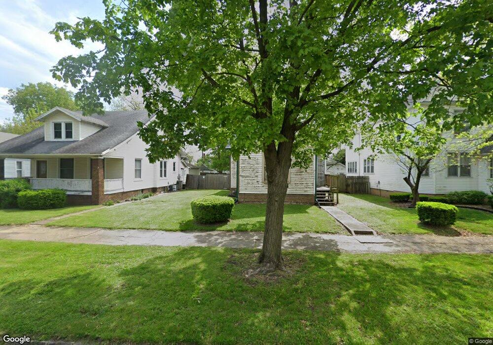
208 N 22nd St Mattoon, IL 61938
Estimated Value: $57,000 - $80,000
2
Beds
1
Bath
872
Sq Ft
$82/Sq Ft
Est. Value
About This Home
This home is located at 208 N 22nd St, Mattoon, IL 61938 and is currently estimated at $71,875, approximately $82 per square foot. 208 N 22nd St is a home located in Coles County with nearby schools including Mattoon High School, St Mary School, and St. John's Lutheran School.
Ownership History
Date
Name
Owned For
Owner Type
Purchase Details
Closed on
Jul 28, 2018
Sold by
Bolen Blake Alexander
Bought by
Bolen Harvey L
Current Estimated Value
Purchase Details
Closed on
Jul 28, 2016
Sold by
Bolen Blake Alexander
Bought by
Bolen Harvey L
Purchase Details
Closed on
Mar 17, 2011
Sold by
Bolen Harvey L
Bought by
Bolen Harvey L and Bolen Blake Alexander
Purchase Details
Closed on
Jan 3, 2006
Sold by
Bolen Shelly J
Bought by
Bolen Harvey L
Create a Home Valuation Report for This Property
The Home Valuation Report is an in-depth analysis detailing your home's value as well as a comparison with similar homes in the area
Home Values in the Area
Average Home Value in this Area
Purchase History
| Date | Buyer | Sale Price | Title Company |
|---|---|---|---|
| Bolen Harvey L | -- | None Available | |
| Bolen Harvey L | -- | -- | |
| Bolen Harvey L | -- | None Available | |
| Bolen Harvey L | -- | None Available |
Source: Public Records
Tax History
| Year | Tax Paid | Tax Assessment Tax Assessment Total Assessment is a certain percentage of the fair market value that is determined by local assessors to be the total taxable value of land and additions on the property. | Land | Improvement |
|---|---|---|---|---|
| 2024 | $393 | $19,136 | $4,641 | $14,495 |
| 2023 | $404 | $17,086 | $4,144 | $12,942 |
| 2022 | $404 | $16,804 | $4,076 | $12,728 |
| 2021 | $422 | $15,435 | $3,744 | $11,691 |
| 2020 | $421 | $15,992 | $3,879 | $12,113 |
| 2019 | $412 | $15,435 | $3,744 | $11,691 |
| 2018 | $405 | $15,435 | $3,744 | $11,691 |
| 2017 | $404 | $15,435 | $3,744 | $11,691 |
| 2016 | $395 | $15,435 | $3,744 | $11,691 |
| 2015 | $847 | $15,435 | $3,744 | $11,691 |
| 2014 | $847 | $15,435 | $3,744 | $11,691 |
| 2013 | $847 | $15,625 | $3,744 | $11,881 |
Source: Public Records
Map
Nearby Homes
- 2305 Shelby Ave
- 2317 Shelby Ave
- 2413 Moultrie Ave
- 113 S 25th St
- 109 N 26th St
- 2617 Richmond Ave
- 2516 Pine Ave
- 1612 Richmond Ave
- 2505 Pine Ave
- 2301 Charleston Ave
- 2512 Dewitt Ave
- 2720 Champaign Ave
- 2800 Shelby Ave
- 2800 Pine Ave
- 2812 Pine Ave
- 1509 Lafayette Ave
- 1 Brown Ct
- 3020 Champaign Ave
- 1312 Edgar Ave
- 1301 Lafayette Ave
- 204 N 22nd St
- 212 N 22nd St
- 200 N 22nd St
- 216 N 22nd St
- 2112 Prairie Ave
- 220 N 22nd St
- 209 N 21st St
- 205 N 21st St
- 2200 Prairie Ave
- 217 N 21st St
- 213 N 21st St
- 2201 Richmond Ave
- 2204 Prairie Ave
- 221 N 21st St
- 2205 Richmond Ave
- 2201 Prairie Ave
- 2208 Prairie Ave
- 300 N 22nd St
- 2209 Richmond Ave
- 2200 Richmond Ave
Your Personal Tour Guide
Ask me questions while you tour the home.