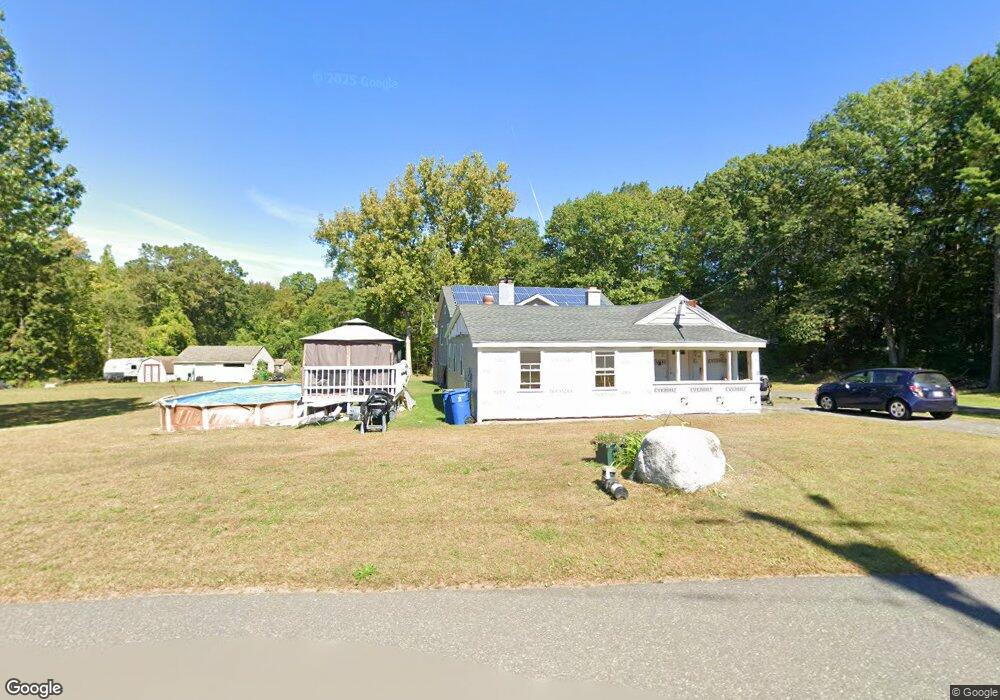
208 Quarry Rd West Springfield, MA 01089
Estimated Value: $445,000 - $697,000
About This Home
This home is located at 208 Quarry Rd, West Springfield, MA 01089 and is currently estimated at $566,575, approximately $178 per square foot. 208 Quarry Rd is a home located in Hampden County with nearby schools including West Springfield High School, Holyoke Community Charter School, and Blessed Sacrament School.
Ownership History
We collect this data history from publicly available records. To have your information removed, we recommend requesting removal directly through your county’s website.
Purchase Details
Purchase Details
Home Values in the Area
Average Home Value in this Area
Purchase History
We collect this data history from publicly available records. To have your information removed, we recommend requesting removal directly through your county’s website.
| Date | Buyer | Sale Price | Title Company |
|---|---|---|---|
| -- | -- | ||
| -- | -- | ||
| -- | -- | ||
| $8,000 | -- | ||
| $8,000 | -- | ||
| $8,000 | -- | ||
| -- | -- | ||
| -- | -- |
Tax History
We collect this data history from publicly available records. To have your information removed, we recommend requesting removal directly through your county’s website.
| Year | Tax Paid | Tax Assessment Tax Assessment Total Assessment is a certain percentage of the fair market value that is determined by local assessors to be the total taxable value of land and additions on the property. | Land | Improvement |
|---|---|---|---|---|
| 2025 | $6,317 | $424,800 | $146,100 | $278,700 |
| 2024 | $6,041 | $407,900 | $146,100 | $261,800 |
| 2023 | $5,905 | $380,000 | $153,300 | $226,700 |
| 2022 | $5,379 | $341,300 | $139,500 | $201,800 |
| 2021 | $5,280 | $312,400 | $132,900 | $179,500 |
| 2020 | $5,287 | $311,200 | $132,900 | $178,300 |
| 2019 | $5,278 | $311,200 | $132,900 | $178,300 |
| 2018 | $5,306 | $311,200 | $132,900 | $178,300 |
| 2017 | $5,306 | $311,200 | $132,900 | $178,300 |
| 2016 | $5,318 | $313,000 | $127,800 | $185,200 |
| 2015 | $2,861 | $168,400 | $125,400 | $43,000 |
| 2014 | $694 | $168,400 | $125,400 | $43,000 |
Map
- 780 Birnie Ave
- 53 Highland Ln
- 18 Highland Park Dr
- 3 John Dr
- 272 Prospect Ave
- 15 Blue Sky Dr
- 1386 Piper Rd
- 13 Parkwood Dr
- 1318 Piper Rd
- 1211 Piper Rd
- 18 Parkwood Dr
- 80 Brush Hill Ave Unit 65
- 80 Brush Hill Ave Unit 40
- 71 Sun Valley Rd
- 238 Dox Rd
- 37 Sun Valley Rd
- 2 Oscar St
- 17 Vincent Dr
- 618 Morgan Rd
- 86 Beaumont Ave
Ask me questions while you tour the home.