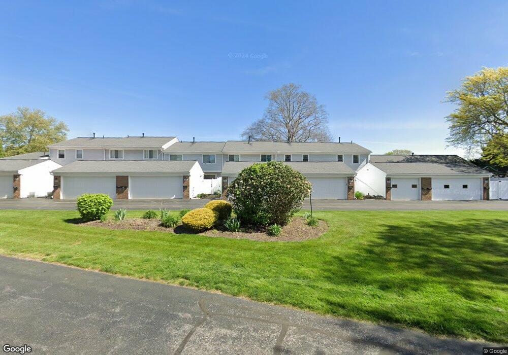
2087 Beechtree Ln Unit 65 Uniontown, OH 44685
Estimated Value: $204,881 - $230,000
3
Beds
3
Baths
1,536
Sq Ft
$143/Sq Ft
Est. Value
About This Home
This home is located at 2087 Beechtree Ln Unit 65, Uniontown, OH 44685 and is currently estimated at $219,470, approximately $142 per square foot. 2087 Beechtree Ln Unit 65 is a home located in Summit County with nearby schools including Greenwood Elementary School, Green Primary School, and Green Intermediate Elementary School.
Ownership History
Date
Name
Owned For
Owner Type
Purchase Details
Closed on
Sep 14, 1994
Sold by
Matter Patricia H
Bought by
Payne Lisa and Payne Wells
Current Estimated Value
Home Financials for this Owner
Home Financials are based on the most recent Mortgage that was taken out on this home.
Original Mortgage
$70,000
Interest Rate
8.44%
Mortgage Type
New Conventional
Create a Home Valuation Report for This Property
The Home Valuation Report is an in-depth analysis detailing your home's value as well as a comparison with similar homes in the area
Purchase History
| Date | Buyer | Sale Price | Title Company |
|---|---|---|---|
| Payne Lisa | $80,000 | -- |
Source: Public Records
Mortgage History
| Date | Status | Borrower | Loan Amount |
|---|---|---|---|
| Closed | Payne Lisa | $70,000 |
Source: Public Records
Tax History
| Year | Tax Paid | Tax Assessment Tax Assessment Total Assessment is a certain percentage of the fair market value that is determined by local assessors to be the total taxable value of land and additions on the property. | Land | Improvement |
|---|---|---|---|---|
| 2024 | $2,977 | $60,991 | $6,699 | $54,292 |
| 2023 | $2,977 | $60,991 | $6,699 | $54,292 |
| 2022 | $2,314 | $42,049 | $4,557 | $37,492 |
| 2021 | $2,177 | $42,049 | $4,557 | $37,492 |
| 2020 | $2,137 | $42,050 | $4,560 | $37,490 |
| 2019 | $1,965 | $36,050 | $4,510 | $31,540 |
| 2018 | $2,006 | $36,040 | $4,120 | $31,920 |
| 2017 | $1,879 | $36,040 | $4,120 | $31,920 |
| 2016 | $1,810 | $31,560 | $4,120 | $27,440 |
| 2015 | $1,879 | $31,560 | $4,120 | $27,440 |
| 2014 | $1,868 | $31,560 | $4,120 | $27,440 |
| 2013 | $2,046 | $34,540 | $4,120 | $30,420 |
Source: Public Records
Map
Nearby Homes
- 2033 Carlile Dr
- 3495 Chadwick Dr
- 2229 E Park Dr
- 3666 Avanti Ln
- 3302 Ashton Dr
- 2535 Royal County Down Unit B
- 3912 Raintree Cir
- 2555 Royal County Down Unit 17C
- 2348 E Turkeyfoot Lake Rd
- 1909 E Turkeyfoot Lake Rd Unit 13
- 0 E Turkeyfoot Lake Rd Unit 5181695
- 0 Raber Terrace
- 3544 Raber Terrace
- 2390 Auberry Dr
- 2667 Spade Rd
- 2969 Premae Dr
- 1670 Berna Rd
- 4125 Southwyck Rd
- 3540 Bushwillow Dr
- 3544 Bushwillow Dr
- 2087 Beechtree Ln
- 2091 Beechtree Ln Unit 64
- 2081 Beechtree Ln
- 2095 Beechtree Ln
- 2095 Beechtree Ln Unit 63
- 2077 Beechtree Ln
- 2077 Beechtree Dr Unit 67
- 2077 Beechtree Ln Unit 67
- 2099 Beechtree Ln
- 2073 Beechtree Ln Unit 68
- 2069 Beechtree Ln Unit 69
- 2090 Carlile Dr Unit 137
- 2062 Beechtree Dr
- 2096 Carlile Dr
- 2096 Carlile Dr Unit 139
- 2058 Beechtree Dr
- 2066 Beechtree Dr
- 2070 Beechtree Dr Unit 58
- 2074 Beechtree Dr
- 2078 Beechtree Dr Unit 56
Your Personal Tour Guide
Ask me questions while you tour the home.