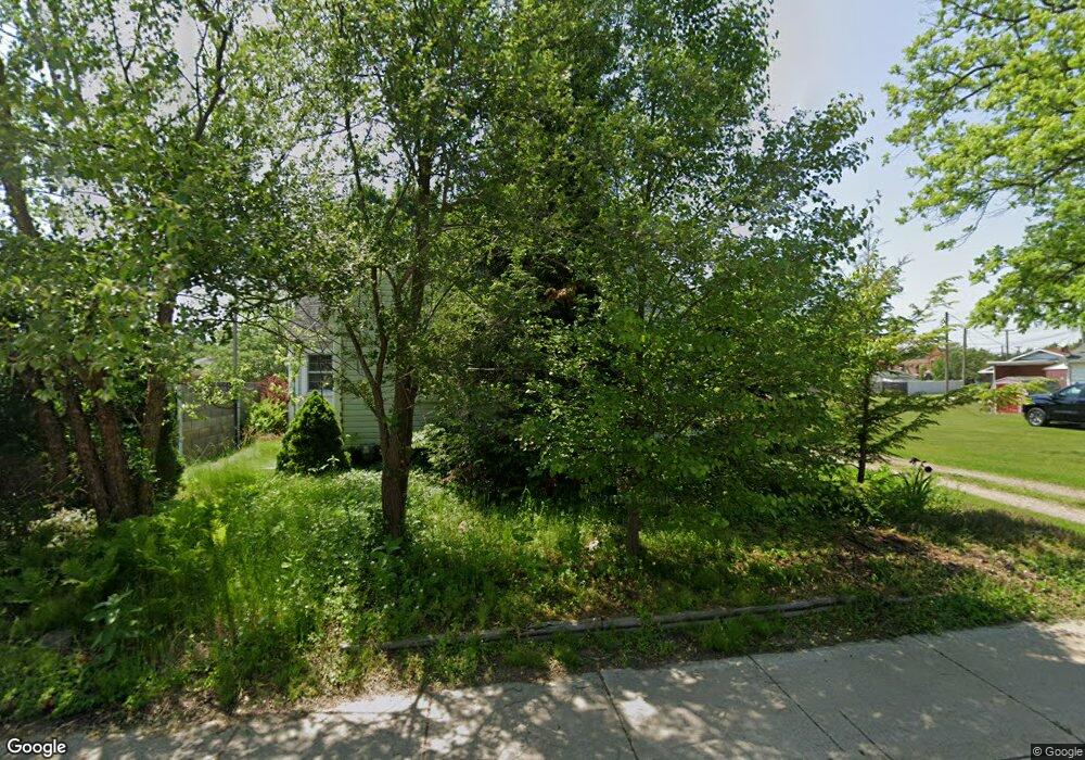
2088 E Cir Brandon Township, MI 48462
Estimated Value: $217,000 - $284,581
About This Home
This home is located at 2088 E Cir, Brandon Township, MI 48462 and is currently estimated at $250,895, approximately $130 per square foot. 2088 E Cir is a home located in Oakland County with nearby schools including Brandon High School and Ortonville Montessori.
Ownership History
We collect this data history from publicly available records. To have your information removed, we recommend requesting removal directly through your county’s website.
Purchase Details
Home Financials for this Owner
Home Financials are based on the most recent Mortgage that was taken out on this home.Purchase Details
Home Financials for this Owner
Home Financials are based on the most recent Mortgage that was taken out on this home.Purchase Details
Purchase Details
Home Financials for this Owner
Home Financials are based on the most recent Mortgage that was taken out on this home.Purchase Details
Home Financials for this Owner
Home Financials are based on the most recent Mortgage that was taken out on this home.Home Values in the Area
Average Home Value in this Area
Purchase History
We collect this data history from publicly available records. To have your information removed, we recommend requesting removal directly through your county’s website.
| Date | Buyer | Sale Price | Title Company |
|---|---|---|---|
| $196,000 | -- | ||
| $170,000 | Ata National Title Group Llc | ||
| $132,783 | None Available | ||
| -- | United General Title Ins Co | ||
| $169,000 | Lawyers Title |
Mortgage History
We collect this data history from publicly available records. To have your information removed, we recommend requesting removal directly through your county’s website.
| Date | Status | Borrower | Loan Amount |
|---|---|---|---|
| Open | $121,520 | ||
| Previous Owner | $164,900 | ||
| Previous Owner | $136,000 | ||
| Previous Owner | $160,550 |
Tax History
We collect this data history from publicly available records. To have your information removed, we recommend requesting removal directly through your county’s website.
| Year | Tax Paid | Tax Assessment Tax Assessment Total Assessment is a certain percentage of the fair market value that is determined by local assessors to be the total taxable value of land and additions on the property. | Land | Improvement |
|---|---|---|---|---|
| 2025 | $2,370 | $118,020 | $0 | $0 |
| 2024 | $2,305 | $111,510 | $0 | $0 |
| 2023 | $2,272 | $109,730 | $0 | $0 |
| 2022 | $3,733 | $106,430 | $0 | $0 |
| 2021 | $3,539 | $90,590 | $0 | $0 |
| 2020 | $1,863 | $89,350 | $0 | $0 |
| 2019 | $2,700 | $88,090 | $0 | $0 |
| 2018 | $2,619 | $91,670 | $0 | $0 |
| 2017 | $2,606 | $84,140 | $0 | $0 |
| 2016 | $2,597 | $79,110 | $0 | $0 |
| 2015 | -- | $81,530 | $0 | $0 |
| 2014 | -- | $70,870 | $0 | $0 |
| 2011 | -- | $60,240 | $0 | $0 |
Map
- 2021 Ardsley Dr
- 2080 Ardsley Dr
- 2111 Oak Terrace
- 1940 S Ortonville Rd
- 688 Bald Eagle Lake Rd
- 700 Bald Eagle Lake Rd
- 709 Bald Eagle Lake Rd
- 0 Michael St
- 1962 Lake Pointe Dr
- 1601 Michael St
- VL E Glass Rd
- 1295 Bald Eagle Lake Rd
- 442 Ridgewood Dr S
- 1751 Bird Rd
- 535 Wolfe Rd
- 3050 Reese Rd
- 2475 S Ortonville Rd
- 657 Autumn Valley Dr
- 1585 Houghton Trail
- 207 Astor Knolls Dr
- 2088 Circle Dr
- 2058 Circle Dr
- 2011 Ardsley Dr
- 1999 Ardsley Dr
- 1964 Manorhaven St
- 2032 Manorhaven St
- 2031 Ardsley Dr
- 0 Ardsley Dr Unit 29071268
- 0 Ardsley Dr Unit 4382456
- 0 Ardsley Dr Unit 910052
- 1960 Manorhaven St
- 2039 Manorhaven St
- 2000 Ardsley Dr
- 1951 Ardsley Dr
- 1930 Manorhaven St
- 2049 Manorhaven St
- 2038 Dunwoodie St
- 2040 Ardsley Dr
- 1950 Ardsley Dr
- 1925 Ardsley Dr
Ask me questions while you tour the home.