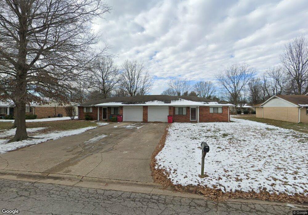
209 David Dr Sikeston, MO 63801
Estimated Value: $178,000 - $313,000
8
Beds
4
Baths
2,580
Sq Ft
$93/Sq Ft
Est. Value
About This Home
This home is located at 209 David Dr, Sikeston, MO 63801 and is currently estimated at $239,584, approximately $92 per square foot. 209 David Dr is a home with nearby schools including Sikeston Senior High School, St. Francis Xavier School, and The Christian Academy.
Ownership History
Date
Name
Owned For
Owner Type
Purchase Details
Closed on
Aug 10, 2023
Sold by
Ryan Excavating Inc
Bought by
Cac Investment Trust and Collier
Current Estimated Value
Home Financials for this Owner
Home Financials are based on the most recent Mortgage that was taken out on this home.
Original Mortgage
$96,000
Outstanding Balance
$93,771
Interest Rate
6.71%
Mortgage Type
Credit Line Revolving
Estimated Equity
$145,813
Purchase Details
Closed on
Jun 13, 2017
Sold by
Exchange Qualified Intermediary Services
Bought by
Ryan Excavating Inc
Home Financials for this Owner
Home Financials are based on the most recent Mortgage that was taken out on this home.
Original Mortgage
$109,600
Interest Rate
4.02%
Mortgage Type
New Conventional
Create a Home Valuation Report for This Property
The Home Valuation Report is an in-depth analysis detailing your home's value as well as a comparison with similar homes in the area
Home Values in the Area
Average Home Value in this Area
Purchase History
| Date | Buyer | Sale Price | Title Company |
|---|---|---|---|
| Cac Investment Trust | $127,680 | Reliable Community Title | |
| Ryan Excavating Inc | -- | Old Security Title Co |
Source: Public Records
Mortgage History
| Date | Status | Borrower | Loan Amount |
|---|---|---|---|
| Open | Cac Investment Trust | $96,000 | |
| Previous Owner | Ryan Excavating Inc | $109,600 |
Source: Public Records
Tax History
| Year | Tax Paid | Tax Assessment Tax Assessment Total Assessment is a certain percentage of the fair market value that is determined by local assessors to be the total taxable value of land and additions on the property. | Land | Improvement |
|---|---|---|---|---|
| 2025 | $1,195 | $27,880 | $0 | $0 |
| 2024 | $12 | $25,140 | $0 | $0 |
| 2023 | $1,197 | $25,140 | $0 | $0 |
| 2022 | $1,197 | $24,230 | $0 | $0 |
| 2021 | $1,196 | $24,230 | $0 | $0 |
| 2020 | $977 | $23,320 | $0 | $0 |
| 2019 | -- | $23,320 | $0 | $0 |
| 2018 | -- | $23,320 | $0 | $0 |
| 2017 | -- | $23,320 | $0 | $0 |
| 2014 | -- | $21,240 | $0 | $0 |
| 2011 | -- | $21,240 | $0 | $0 |
Source: Public Records
Map
Nearby Homes
- 719 N West St
- 4 N West St
- 908 Davis Blvd
- 105 Linda Dr
- 307 Circle Dr
- 118 Greenbriar Dr
- 202 N Brushwick Ave
- 218 Thomas Dr
- 627 Vernon Ave
- 1300 N Main St Unit 204
- 312 Tanner St
- 701 Sikes Ave
- 901 Moore Ave
- 203 N Kingshighway St Unit A & B
- 103 Groves Estates Ct
- 723 Kendall St
- 628 Moore Ave
- 318 Kendall St
- 1304 Primrose Dr
- 406 W Gladys St
Your Personal Tour Guide
Ask me questions while you tour the home.