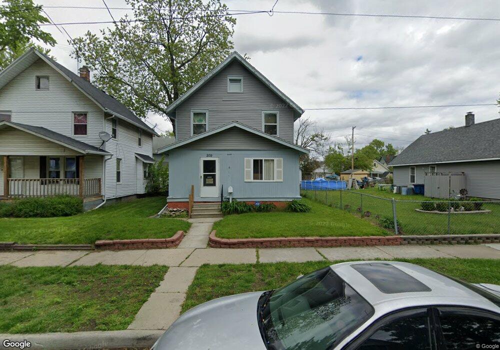
209 Hanover St Toledo, OH 43609
Southside NeighborhoodEstimated Value: $62,000 - $88,000
About This Home
This home is located at 209 Hanover St, Toledo, OH 43609 and is currently estimated at $77,287, approximately $67 per square foot. 209 Hanover St is a home located in Lucas County with nearby schools including Burroughs Elementary School, Bowsher High School, and Explorers Academy of Science and Technology.
Ownership History
We collect this data history from publicly available records. To have your information removed, we recommend requesting removal directly through your county’s website.
Purchase Details
Purchase Details
Purchase Details
Home Financials for this Owner
Home Financials are based on the most recent Mortgage that was taken out on this home.Home Values in the Area
Average Home Value in this Area
Purchase History
We collect this data history from publicly available records. To have your information removed, we recommend requesting removal directly through your county’s website.
| Date | Buyer | Sale Price | Title Company |
|---|---|---|---|
| $300 | None Available | ||
| -- | None Available | ||
| $31,000 | -- |
Mortgage History
We collect this data history from publicly available records. To have your information removed, we recommend requesting removal directly through your county’s website.
| Date | Status | Borrower | Loan Amount |
|---|---|---|---|
| Previous Owner | $31,288 |
Tax History
We collect this data history from publicly available records. To have your information removed, we recommend requesting removal directly through your county’s website.
| Year | Tax Paid | Tax Assessment Tax Assessment Total Assessment is a certain percentage of the fair market value that is determined by local assessors to be the total taxable value of land and additions on the property. | Land | Improvement |
|---|---|---|---|---|
| 2025 | $2,172 | $19,950 | $3,990 | $15,960 |
| 2024 | $1,907 | $19,950 | $3,990 | $15,960 |
| 2023 | $895 | $12,320 | $2,975 | $9,345 |
| 2022 | $892 | $12,320 | $2,975 | $9,345 |
| 2021 | $885 | $12,320 | $2,975 | $9,345 |
| 2020 | $923 | $11,130 | $2,765 | $8,365 |
| 2019 | $890 | $11,130 | $2,765 | $8,365 |
| 2018 | $847 | $11,130 | $2,765 | $8,365 |
| 2017 | $2,246 | $9,870 | $3,290 | $6,580 |
| 2016 | $1,778 | $28,200 | $9,400 | $18,800 |
| 2015 | $803 | $28,200 | $9,400 | $18,800 |
| 2014 | $931 | $9,870 | $3,290 | $6,580 |
| 2013 | $621 | $9,870 | $3,290 | $6,580 |
Map
- 2042 Airline Ave
- 0 Decatur Unit 20262078
- 1925 Airline Ave
- 142 S Detroit Ave
- 2005 Airport Hwy
- 115 Lake Shore Ave
- 333 Danberry St
- 2019 South Ave
- 546 Shasta Dr
- 541 Myers St
- 2316 Ward St
- 1922 Southmoor Dr
- 1910 Southmoor Dr
- 545 Woodsdale Ave
- 2336 South Ave
- 1601 Airline Ave
- 552 Federman St
- 2335 Airport Hwy
- 323 Champion St
- 606 Toronto Ave
- 210 Hanover St
- 214 Hanover St
- 216 Hanover St
- 220 Hanover St
- 222 Hanover St
- 2012 Airline Ave
- 2000 Airline Ave
- 215 Somerset St
- 211 Hanover St
- 224 Hanover St
- 2014 Airline Ave
- 1998 Airline Ave
- 205 Hanover St
- 217 Somerset St
- 2018 Airline Ave
- 228 Hanover St
- 1994 Airline Ave
- 2020 Airline Ave
- 215 Hanover St
- 217 Hanover St
Ask me questions while you tour the home.